Beautiful Friday ahead of light snow chances Saturday night
Thursday, November 24, 2022
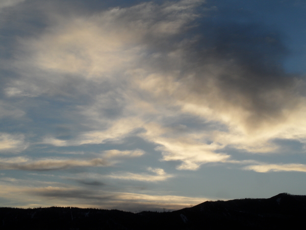
After a couple of inches fell on my deck near the base of the Steamboat Ski Resort yesterday afternoon and evening, skies are beginning to clear this Thanksgiving mid-morning over the Steamboat Springs area with temperatures currently in the mid-twenties. Look for the sunny skies by this afternoon continuing through a beautiful Friday with warmer temperatures. A sunny start to Saturday and sunny end to Sunday will bookend a chance of snow showers Saturday night with light accumulations expected.
A splitting storm passed through our area yesterday afternoon and evening and is currently moving south through New Mexico. Even though the official ski report for the Steamboat Ski Resort had 2.5” at mid-mountain and 4” up top, the Steamboat Powdercam and Steamboat mid-mountain Powdercam both showed closer to 2” from the storm. Please keep in mind that while the the upper mountain powdercam is within 10 yards of the official snow stake used for the ski report, it still may accumulate different snow totals thanks to its different location in the snow plot.
Clouds are now dissipating as drier air from the northwest moves overhead, so look for sunny skies by this afternoon with high temperatures reaching into the thirties, a few degrees below our average of 36 F. We should see a gorgeous Friday with sunny skies and temperatures several degrees above average as a weakening ridge of high pressure is pushed overhead by our next storm currently moving eastward through the Gulf of Alaska.
So Saturday should start sunny with increasing clouds in the afternoon and snow showers developing later in the day and continuing overnight. While the storm is quite weak as it moves overhead Saturday night, there is sufficient moisture in the favorable cool northwest flow to produce 1-4” of accumulating snowfall.
Similar to today, a cloudy morning on Sunday should give way to sunny skies as a transient ridge of high pressure moves through the area ahead of the next more significant weather maker currently moving through the Aleutian Islands.
That storm is forecast to mix with a chunk of cold air moving through Alaska and develop into a significant storm with heaviest snowfall over our area currently expected from Monday night into Tuesday. Luckily, the Thanksgiving travel window between midday Sunday and midday Monday looks uneventful, but that changes by later Monday with storm totals in the 6-12” range looking possible between Monday and Tuesday nights.
While there is general weather forecast model agreement on the track, timing and intensity of the storm, be sure to stay tuned to my next regularly scheduled weather narrative on Sunday afternoon for the latest specifics on this likely significant storm.
Add comment
Fill out the form below to add your own comments


