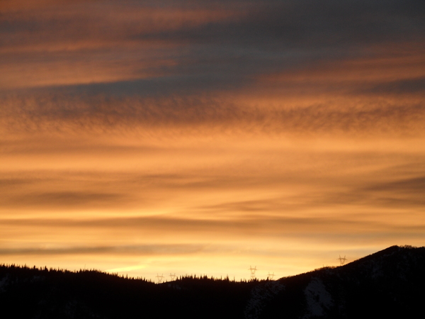
Wintry weather arrives for Sunday
Thursday, October 20, 2022
A stunning fall day is over the Steamboat Springs area this Thursday mid-afternoon with cloudless skies and temperatures in the upper sixties. An approaching wintry storm will drop temperatures several degrees and increase breezes on Friday, with another several degree drop on Saturday along with windy conditions. The weather changes in earnest Saturday night as the high temperature for Sunday will occur at midnight and precipitation begins as rain in the lower elevations and snow around mid-mountain. Continued falling temperatures and increasing precipitation rates are forecast through the day Sunday, with several inches of snow in town likely by Monday morning.
Our wintry storm is currently moving through the Gulf of Alaska and is forecast to cross the Pacific Northwest coast later Friday. After a gorgeous fall day today with temperatures approaching seventy degrees, look for increases breezes from the northwest and west on Friday with temperatures dropping several degrees.
While Saturday morning may start sunny, clouds will increase in the afternoon, knocking another several degrees off the temperatures and winds will substantially increase first from the west and then the southwest as the approaching storm dives into the Great Basin.
Precipitation should begin overnight Saturday, with rain in town and snow above mid-mountain, though snow levels are forecast to drop from 9500′ Saturday night to 4800′ by Monday morning as the strongest part of the storm passes overhead. We may see a rain-snow mix in town for much of the day Sunday, with the heaviest precipitation rates forecast through the day and all snow likely later in the day. High temperatures may not make it out of the low forties in town on Sunday and twenties at mountain-top, with accumulating snow at pass level and snowfall rates exceeding an inch per hour at times making travel difficult over Rabbit Ears Pass.
After Sunday, most will not be surprised to see several inches of snow in town by Monday morning, with considerably more at the higher elevations, possibly exceeding a foot at the top of Mt. Werner. Be sure to check the newly updated Steamboat powdercam up top and the Thunderhead powdercam at mid-mountain through the day Sunday as our first winter-like storm barrels through the area.
While the strongest part of the storm is associated with a leading wave ejecting out of the low pressure area on Sunday, the bulk of the storm is forecast to move through Colorado on Monday as weather forecast models show it splitting. So look for precipitation to end Monday morning, but with even colder temperatures by several degrees than on Sunday. And while Monday morning will be cold with low temperatures likely in the teens, we may approach the single digits by Tuesday morning.
The screaming message is to get outside and finish your outdoor projects by Saturday ahead of the wintry weather. Be sure to check back on Sunday afternoon where I’ll be discussing the ongoing storm and what looks like more snow later in the work week in my next regularly scheduled weather narrative.
Add comment
Fill out the form below to add your own comments


