Winds pick up ahead of mostly dry cold front Tuesday night
Sunday, October 9, 2022
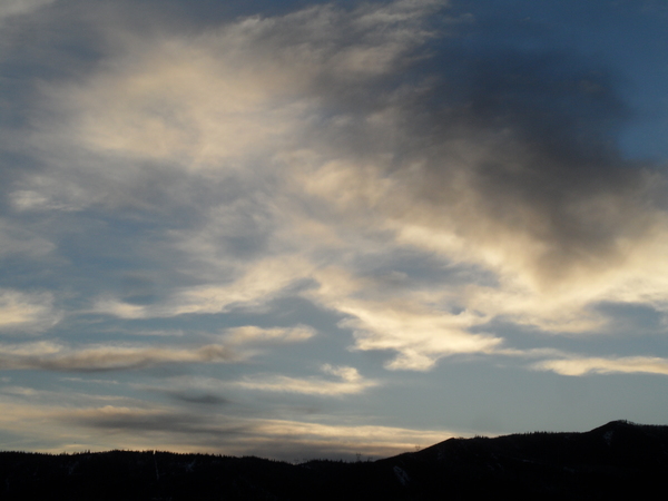
Another spectacular fall day is over the Steamboat Springs area this Sunday afternoon with sunny skies and temperatures in the mid-sixties. Similar weather is expected for Columbus Day, but with afternoon breezes from the west, before a mostly dry cold front is forecast Tuesday night. Look for winds to increase during the day with a small chance of rain showers at the lower elevations and snow showers at the higher elevations in the afternoon and evening before the atmosphere quickly dries after midnight behind the cold front. More sunny weather with seasonable temperatures is forecast for the rest of the work week.
As has been the case recently, two deep and cold areas of low pressure over the eastern Pacific and Hudson Bay sandwich a ridge of high pressure over the West Coast. A wave of energy currently moving through the Aleutian Islands is forecast to cross the British Columbia coast Monday afternoon before moving through Idaho on Tuesday and bringing a cold front through our area Tuesday evening.
While tomorrow will be similar to today, but with some breezes from the west, the winds will pick up on Tuesday with gusts over 30 mph by the afternoon as we see meager chances for rain shower below 10,000′ and snow showers above in the afternoon and evening. The snow level will drop during the evening and reach as low as 8000′ by Wednesday morning, though the atmosphere quickly dries behind the front so no precipitation is expected after midnight. There may be snowflakes in the evening as low as mid-mountain, which you can monitor at the Steamboat mid-mountain powdercam, though accumulations at all elevations currently look unlikely.
The ridge of high pressure over the West Coast quickly rebuilds behind the departing storm, so look for lots of sun and seasonable temperatures within five degrees of our average high of 61 F and average low of 28 F through the rest of the work week.
The weather forecast models agree that dry weather will persist into next weekend, though we may be susceptible to a grazing cool front as waves of energy travel down the east side of the ridge of high pressure. So enjoy the mostly sunny days and cool nights, except for the brief interruption in our stellar weather on Tuesday, and I’ll be back with my next regularly scheduled weather narrative on Thursday afternoon.
Add comment
Fill out the form below to add your own comments


