Shower chances persist today and Monday before a dry work week
Sunday, October 2, 2022
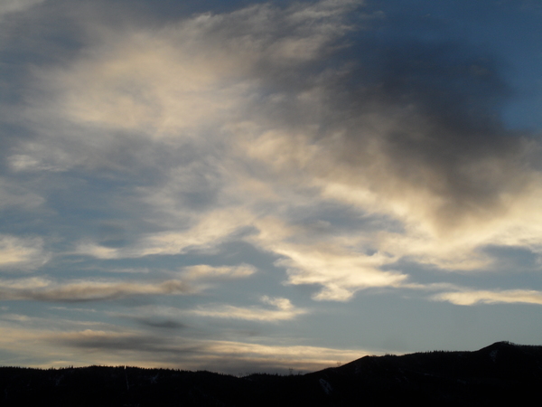
After some light rain around sunrise, a mix of sun and clouds is over the Steamboat Springs area with temperatures around fifty degrees this Sunday mid-morning, on their way to the mid-sixties. But the sun will heat the unstable atmosphere so showers will persist today and this evening. Temperatures will be a bit cooler on Monday with less of a chance of showers before dry weather and seasonable temperatures dominate most of the rest of the work week.
The recent wet weather which brought about a half inch of rain to the area on Friday and another fifteen hundredths yesterday is being caused by waves of energy pinwheeling around a slow-moving eddy currently over Montana.  This also produced a brief period of quickly-melting snowfall at the top of Sunshine Peak as shown by a snapshot from the Steamboat Powdercam taken at 11 am Saturday morning. Most of the eddy is forecast to rejoin the jet stream later Monday, but not before bringing several more rounds of showers to our area later today and this evening.
Cooler air behind the departing storm will overspread the area on Monday with high temperatures in the low sixties, a couple degrees below our average of 64 F. While we will still see the chance of showers on Monday, they should be less widespread than the last several days.
A ridge of high pressure is forecast to build over the West behind the bulk of the departing storm as southerly winds ahead of a deep area of low pressure extending southward from the Aleutian Islands and the Gulf of Alaska bring warm air northward. A small piece of the departing storm is forecast to be left behind and migrate to the Desert Southwest during the work week, and that may be a player in our weather for next weekend.
Otherwise, look for mostly sunny skies starting Tuesday and lasting through most of the work week with high temperatures in the mid-sixties and low temperatures around our average of 29 F. Stay tuned to my next regularly scheduled weather narrative on Thursday afternoon where I’ll discuss a grazing cold front on Friday and the possible return of subtropical moisture for around next weekend.


