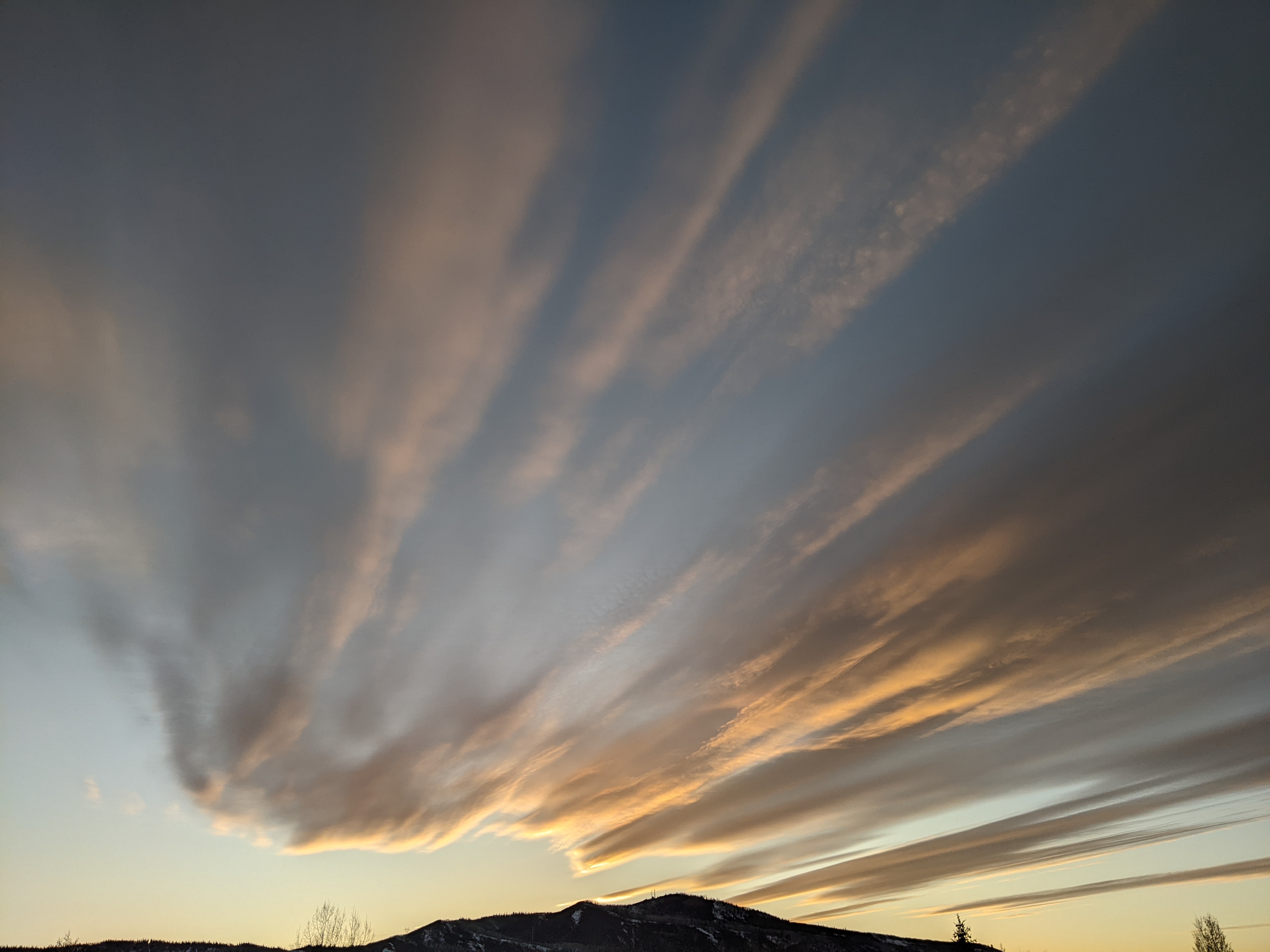
Spectacular fall weather continues through midweek
Sunday, September 25, 2022
Another gorgeous fall day is over the Steamboat Springs area with cloudless skies and temperatures in the mid-sixties early this Sunday afternoon, on their way to the seventies. More of the same is expected through midweek before moisture increases and shower chances return on Thursday ahead of a Pacific weather disturbance currently forecast for the end of the work week.
An expansive ridge of high pressure currently over the West is sandwiched between two impressively deep and cold low pressure areas with one extending southward through the Aleutian Islands and another southward through Hudson Bay. And not that it will affect our weather, but Tropical Storm Ian currently south of western Cuba is forecast to become a hurricane by Monday and make landfall as a strong storm somewhere around the eastern Gulf Coast or Florida after midweek.
The Aleutian storm is forecast to move eastward early in the work week and split as the southern end moves through the Pacific Northwest around midweek. We will eventually see the influence of the southern piece of the storm, but not before several more spectacular fall days grace our area on Monday and Tuesday, and likely Wednesday, with high temperatures in the mid-seventies, over five degrees above our average of 69 F and low temperatures around or above freezing, a bit above our average low of 31 F.
There is weather forecast model disagreement on how much energy is partitioned into the Pacific Northwest storm and how much moves eastward across Canada, but they agree that the southerly flow ahead of the storm will combine with the clockwise circulation around the high pressure to increase moisture over our area by later Wednesday and Thursday in a monsoon-like pattern. So there should be some chance of showers on Thursday ahead of a better chance on Friday when the cold front is expected to pass through.
The weekend forecast is very uncertain as the European ECMWF forecasts the storm to shear and keeps unsettled weather around, while the American GFS quickly moves the storm through the area for a nice weekend. So check back on Thursday afternoon for my next regularly scheduled weather narrative when these differences should be resolved in time for a more certain weekend weather forecast.


