Heat relief waits till the end of the work week
Sunday, September 4, 2022
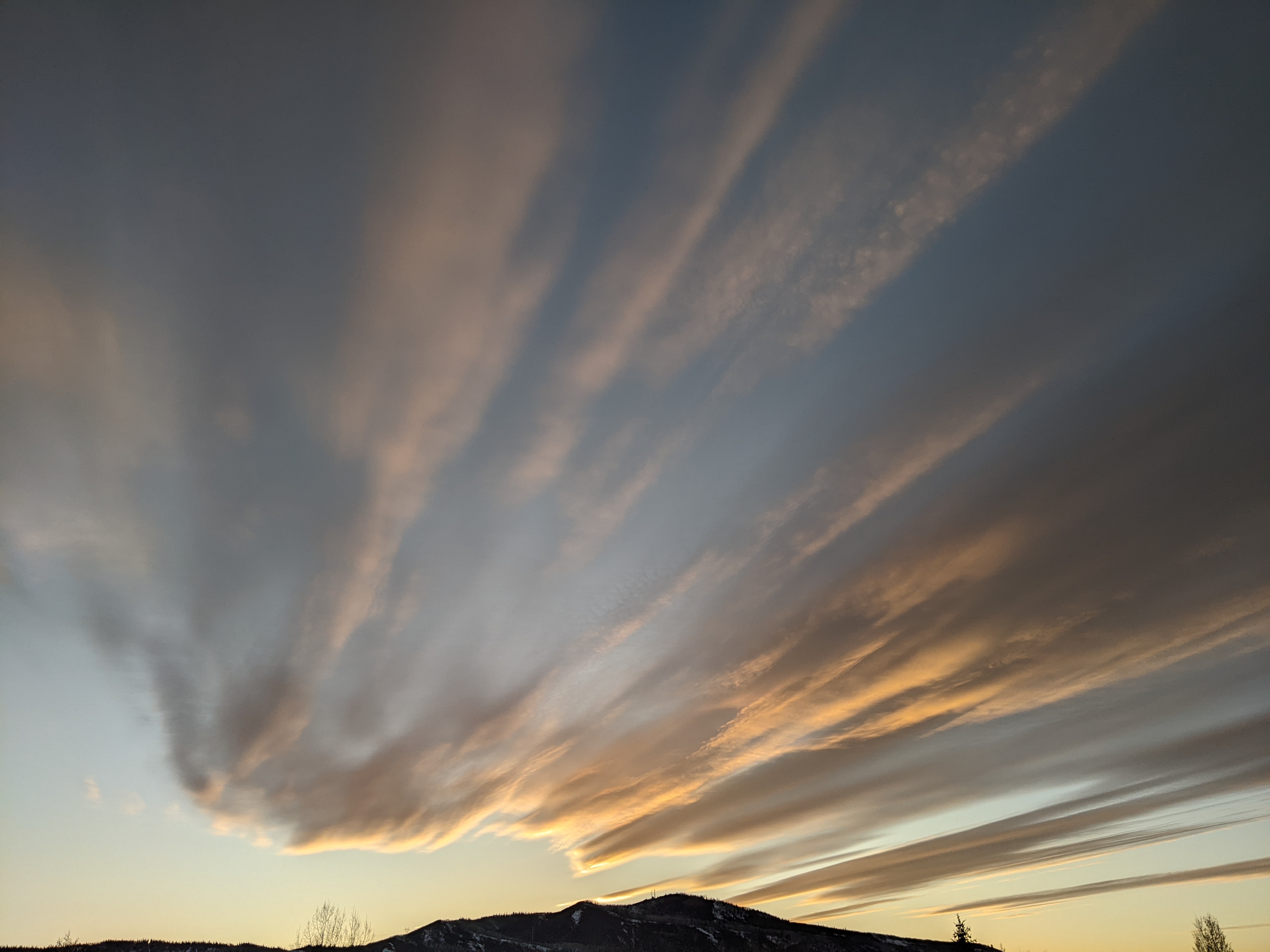
Bluebird skies and hot temperatures already above eighty-five degrees are over the Steamboat Springs area early this Sunday afternoon, threatening the record high temperature of ninety degrees later today. Summer has emphatically stated it’s not going anywhere this work week as high temperatures are forecast to stay in the upper eighties and perhaps exceed ninety degrees through Thursday before the season’s first cold front brings some relief from the heat for the weekend. Even then, high temperatures are expected to be in the low-eighties which is around five degrees above our average of 76 F.
The deep and cold areas of low pressure over the Gulf of Alaska and Hudson Bay have persisted for most of the summer, parking an expansive ridge of high pressure currently centered over the Rockies. A storm currently moving through the Aleutian Islands from the Sea of Japan is forecast to grab some cold air from the Gulf of Alaska storm early in the work week while also pushing that storm into Canada as it is deflected to our north by the ridge of high pressure overhead.
We will not see any effects from that interaction until the end of the work week as the first cold front of the season is forecast to graze our area and drop high temperatures around ten degrees, which will still leave us about five degrees above our early weekend average of 76 F. Precipitation chances will remain near nil until the cold front arrives.
Even then, current weather forecast models keep us dry, though they are struggling with how much cold air is incorporated into that old Sea of Japan storm since the observational weather network is sparse over oceans. I would expect changes to the forecast strength of the cold front which may also affect the precipitation potential, so stay tuned to my next regularly scheduled weather narrative on Thursday afternoon to see how that develops for next weekend.


