Summer returns after a fall-like weekend
Sunday, August 21, 2022
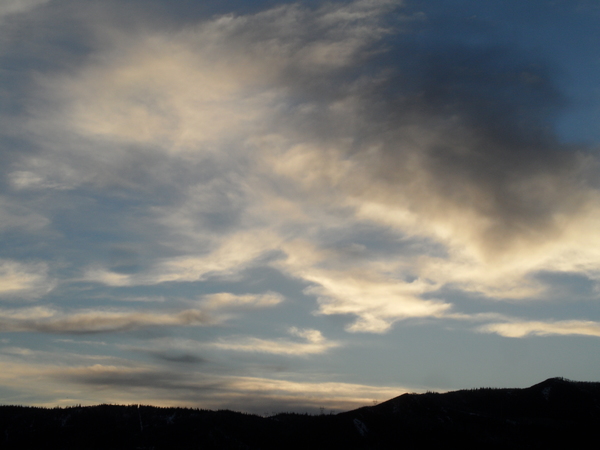
After a morning of light rain, a mix of sun and clouds is over the Steamboat Springs area with temperatures in the upper sixties, lending a fall-like feel to the weather. But summer returns for at least the first half of the week with mostly sunny skies and high temperatures around eighty degrees, perhaps followed by another monsoonal surge of moisture to close out the work week.
An eddy of low pressure in western Colorado is currently trapped under a high pressure system over much of the West. The eddy is forecast to slowly move to the southeast through Monday morning before passing into New Mexico by the afternoon. Any showers this afternoon and evening will be moving generally from east to west, opposite of the normal storm motion, as winds move counter-clockwise around the eddy, especially later in the day.
By Monday, the eddy will be far enough removed from north-central Colorado that winds will turn to be more from the north as air follows a clockwise rotation around the still dominant western high pressure system. Expect drier air bringing mostly sunny skies with high temperatures several degrees above our average high of eighty degrees along with a slight chance of a passing storm in the afternoon or evening through Wednesday.
Meanwhile, a storm currently off the Pacific Northwest coast is forecast to penetrate the western ridge of high pressure and loiter over Washington State through the beginning of the week before being pushed eastward by some energy ejecting out of a large storm in the Gulf of Alaska. While the eddy is forecast to travel across the northern tier of states, it will be close enough so that the southerly flow ahead of the storm will once again carry monsoonal moisture from the south over our area. So right now, good chances for more wetting rains occur on Thursday and Friday before another brief drying tend is advertised for the following weekend.
That the current eddy over Colorado and the one forecast to form over Washington are penetrating the ridge of high pressure rather than being deflected around it is a sure sign that fall is coming. This is certainly not to say that some hot days are not still ahead, but the cold air from the northern latitudes is growing colder each day, and eventually a storm will blast through the ridge of high pressure rather than just meandering through it. So enjoy another summery work week, and check back on Thursday afternoon for my next regularly scheduled weather narrative.


