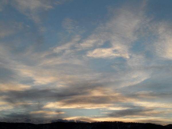
Showers likely through Monday
Sunday, August 14, 2022
A nice shower has passed through the Steamboat Springs area early this Sunday afternoon and dropped temperatures from the low eighties to the mid-sixties. Shower chances look to stay high for the rest of today, overnight, and through Monday before decreasing for the rest of the work week ahead of another possible monsoon surge for next weekend.
A ridge of high pressure over much of the West has been and is still sandwiched between two persistent areas of low pressure, one over the Aleutian Islands and Gulf of Alaska and another centered over Hudson Bay and extending southward along the East Coast. Storminess traveling through the Gulf of Alaska and crossing the British Columbia coast has been modifying the ridge of high pressure this summer by either deforming it or nudging it eastward, or both, as it travels along the Canadian border well north of our area.
The monsoonal moisture plume drawn northward on the backside of the ridge of high pressure has been incredibly persistent this summer, and looks to hang on past its usual mid-August demise. Currently, some energy crossing the Pacific Northwest coast has nudged the ridge of high pressure to the east and reinforced a wave moving northward on the backside of the high pressure, which will keep good shower chances present for today, tonight and tomorrow. The clouds and showers tomorrow should drop our high temperatures on Monday into the mid-seventies, around five degrees below our average of 82 F.
By Tuesday, as that wave of energy moves to our east, the ridge of high pressure squirts back to the west and brings warmer and drier air overhead. There is weather forecast model disagreement on whether there will be enough moisture around for Tuesday showers, but more sun than Monday will allow high temperatures to approach average.
Wednesday and Thursday are looking on the dry side with just above average temperatures, though a quick afternoon or evening shower cannot be ruled out. By Friday, the weather forecast models agree that a wave of energy traveling through the area of low pressure over the Gulf of Alaska will affect the area of high pressure over the West in some way, and the winds from the south ahead of that low pressure may carry another surge of monsoon moisture overhead for the weekend. So stay tuned to my next regularly scheduled weather narrative on Thursday afternoon where I’ll know more about the shower chances for the coming weekend.
Add comment
Fill out the form below to add your own comments


