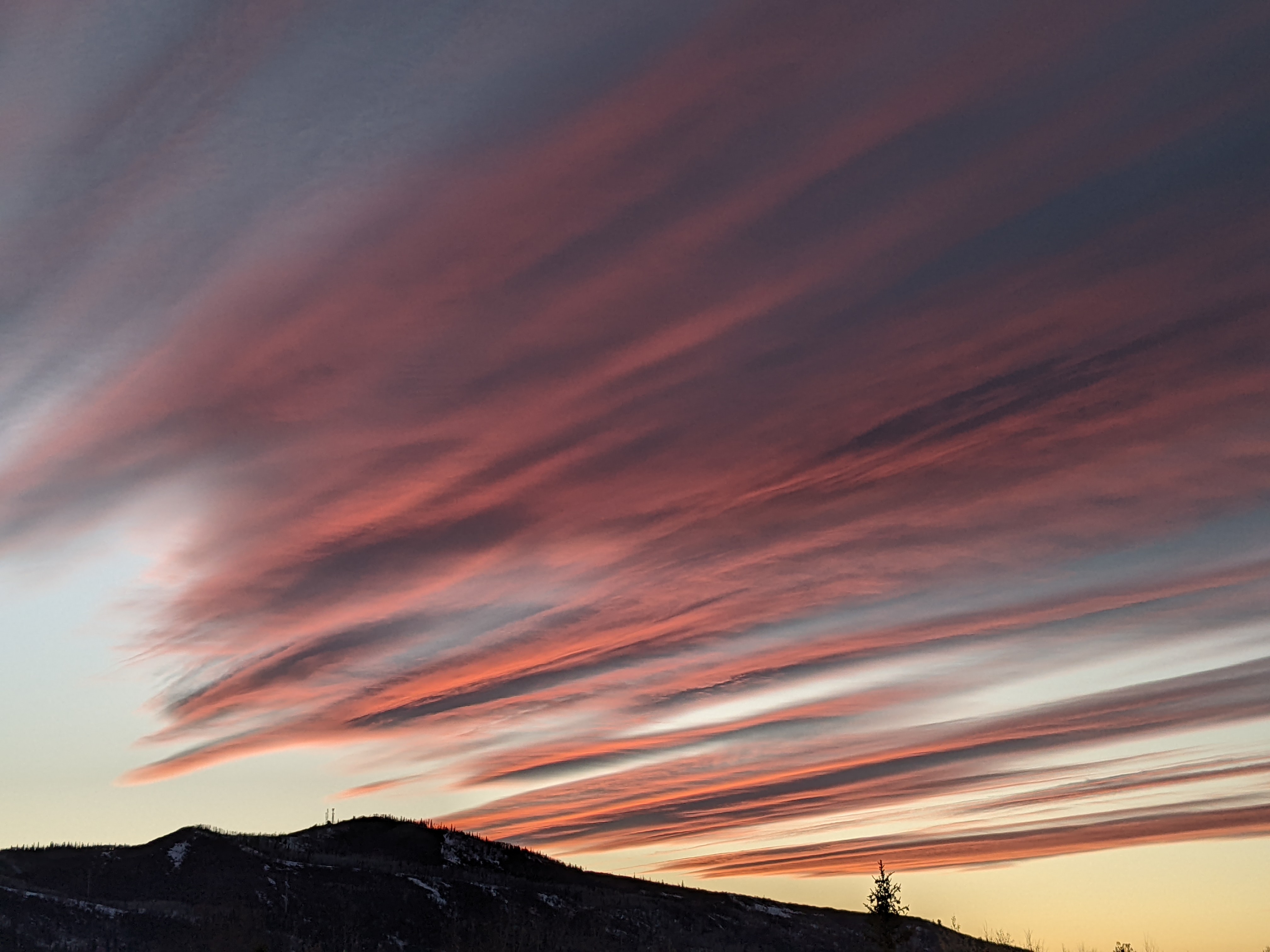
Moderating temperatures and increasing shower chances for the weekend
Thursday, August 11, 2022
Temperatures are already in the mid-eighties this Thursday afternoon along with some developing storm clouds along the higher terrain. The current stretch of unseasonably hot temperatures this week will cool a couple of degrees each day through early next week, along with good chances for afternoon and evening showers thanks to another surge of monsoonal moisture.
A ridge of high pressure extending through the Rocky Mountains is currently sandwiched between broad areas of low pressure located off the Pacific Northwest coast and Hudson Bay. Clockwise rotation around the center of the high pressure located just to our north near the Wyoming border is bringing winds from the southeast and east overhead, which is unusual and opposite of what normally occurs.

 Bob Adams airport recorded a high temperature of 92 F at 5:15 pm DST yesterday thanks to the ridge of high pressure, but we also saw elevated temperatures and winds in some areas of town on Tuesday and Wednesday as shown in the accompanying time series for the last three days of temperature at my weather station near the base of the Steamboat Ski Resort and winds near the top. Note the temperature spike from 64 F to 74 F just before midnight on the 10th and the near 80 F temperatures that extended through midnight on the 11th in the first chart. Also note the strong winds from the southeast observed near the top of the mountain each night, which carried the mountain-top air down the slope of the Park Range where it warmed as it descended.
The low pressure area off the Pacific Northwest coast is forecast to rotate and weaken as it is forced into the Canadian Rockies through the weekend by yet another mass of cold air currently moving over the Aleutian Islands. This will weaken the ridge of high pressure overhead and nudge it eastward, which will allow monsoonal moisture from the south to move overhead.
The storms today will probably be confined first to the higher elevations before they move off the terrain and bring a threat of showes to the lower elevations through this evening. As the high pressure continues to move to our east tomorrow, winds switch to be from the south with a better chance of showers for the afternoon and evening as monsoonal moisture is brought overhead, and high temperatures drop a few degrees.
More of the same is expected for the weekend and into early next week as the ridge of high pressure is nudged further to the east, eventually forcing winds to be from the southwest and west in the more usual pattern. While high temperatures continue to drop a few degrees each day, reaching our average high of 82 F by Sunday, there are also likely to be areas of energy rotating around the high pressure for Sunday and early next week which will provide a better environment for wetting rains.
So be on the lookout for storms moving in the opposite direction of what you’re used to today, and check back for my next regularly scheduled weather narrative on Sunday afternoon where I’ll discuss the prospects for another week of monsoonal shower chances.


