Weekend precipitation chances plummet
Thursday, August 4, 2022
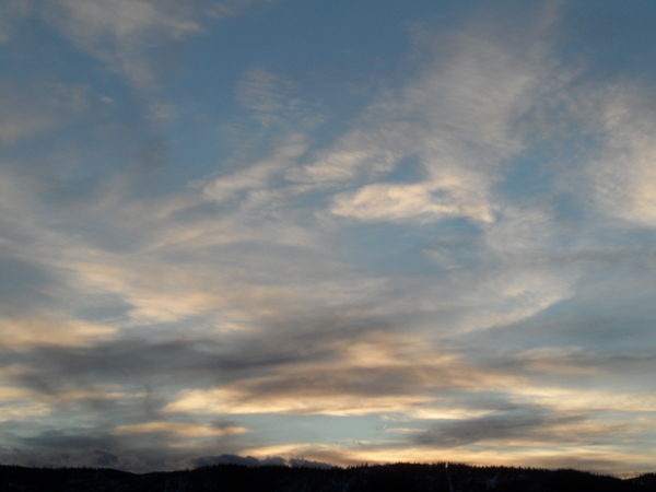
Sunny skies with temperatures in the low eighties, on their way to the upper eighties, are over the Steamboat Springs area early this Thursday afternoon. What was looking like a wet weekend only a couple of days ago has trended significantly drier, with the best storm chances now limited to Friday afternoon and evening.
A ridge of high pressure is currently sitting over most of the continental U.S while one area of low pressure is located just east of Vancouver and another exists as an eddy off the West Coast. While the bulk of the Vancouver storm will move east across the Canadian Plains over the next two days, some of that storm elongates southwestward toward the eddy off the West Coast, eventually forming an additional small storm that is forecast to move across Montana and drag a cool front through our area early Sunday.
While these pieces are evolving to our northwest, a wave moving through the monsoonal moisture plume located on the backside of the large ridge of high pressure is forecast to move northward through Nevada on Friday and Idaho on Saturday as it merges with the eventual Montana storm.
Earlier in the week, the storm around Vancouver was forecast to stay north of our area, allowing that disturbance in the monsoonal flow to move overhead through the weekend, but the elongation of the Vancouver storm to the southwest has changed that trajectory. So while we will still see good chances for afternoon and evening storms on Friday, a much drier Saturday and Sunday is now in our future as the monsoonal moisture plume is forecast to split to our northwest and southeast. There may still be a passing shower around, especially early Sunday as a cool front grazes our area, but the threat of widespread rainfall is all but gone.
While the elongation of that Vancouver storm to the southwest destroyed our precipitation chances for Saturday and likely Sunday, the cooler air associated with the further southern extent of the storm will grace our area for the weekend, with high temperatures eventually cooling into the low eighties by Sunday, which is a couple of degrees below our now declining average of 83 F.
Dry weather and increasing temperatures are expected for the bulk of the following work week, with another monsoonal surge of moisture currently predicted for next weekend. Be sure to stay tuned to my next regularly scheduled weather narrative on Sunday afternoon where I’ll discuss how hot the coming work week will be as well as any changes to the weather forecast for next weekend.
Add comment
Fill out the form below to add your own comments


