Showers likely over the weekend
Thursday, June 16, 2022
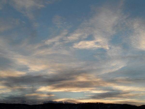
Bluebird skies and temperatures near eighty degrees are over the Steamboat Springs area early this Thursday afternoon. While Friday will start similar to today, with perhaps some smoke from several wildfires in Arizona and New Mexico, we should see increasing clouds by Friday afternoon as a surge of moisture from the south moves over Colorado. Precipitation will be hard to come by to start thanks to the dry atmosphere, but becomes likely by Saturday and possibly Sunday as the atmosphere moistens.
A storm currently off the Pacific Northwest coast is forecast to elongate along the West Coast during the weekend before moving inland across the Great Basin and grazing our area on Monday. Additionally, a ridge of high pressure extending from the Southeast to the Canadian Plains is forecast to strengthen through the weekend, and the southerly flow ahead of the West Coast storm combined with the clockwise rotation around the high pressure center will force subtropical moisture currently residing over the Mexican deserts northward and eventually over our area by Friday afternoon.
Unfortunately, this southerly flow will also draw smoke from the large Black Fire in southern New Mexico and the Fish Fire across the state line in Arizona, and possibly the Midnight Fire in northern New Mexico, northward and over our area for at least tonight and tomorrow. With this in mind, I have made two changes to the SnowAlarm site by placing the PurpleAir air quality indicator from the Routt County Courthouse back on the home page and grabbing the NOAA smoke plume forecast maps which are run out to 48 hours four times a day.
While Friday will start similar to today, other than the possibility of some haze due to smoke, clouds should increase in the afternoon as moisture moves northward. Storms that form will initially produce more wind than rain as it will take some time for the lower atmosphere to moisten, so the better chance for wetting rains waits until Saturday afternoon and evening, and possibly Sunday.
And along with the clouds, high temperatures will drop from around ten degrees above our average of 74 F today and tomorrow to around average, or even several degrees below for the weekend.
While weather forecast models agree that the West Coast storm will graze our area, there is disagreement on how close it will get, and that will influence the chance of precipitation on both Sunday and Monday. The European ECMWF keeps the storm further away, which allows for more showers on Sunday and a dry Monday, while the American GFS has the storm moving close enough to sever the moisture plume for a drier Sunday before increasing shower chances on Monday as the storm moves by.
So stay tuned to my next regularly scheduled weather narrative on Sunday afternoon where I’ll discuss that grazing storm for Sunday or Monday and what currently looks like nice weather for the remainder of the work week.
Add comment
Fill out the form below to add your own comments


