Unsettled weather persists through the weekend
Friday, April 15, 2022
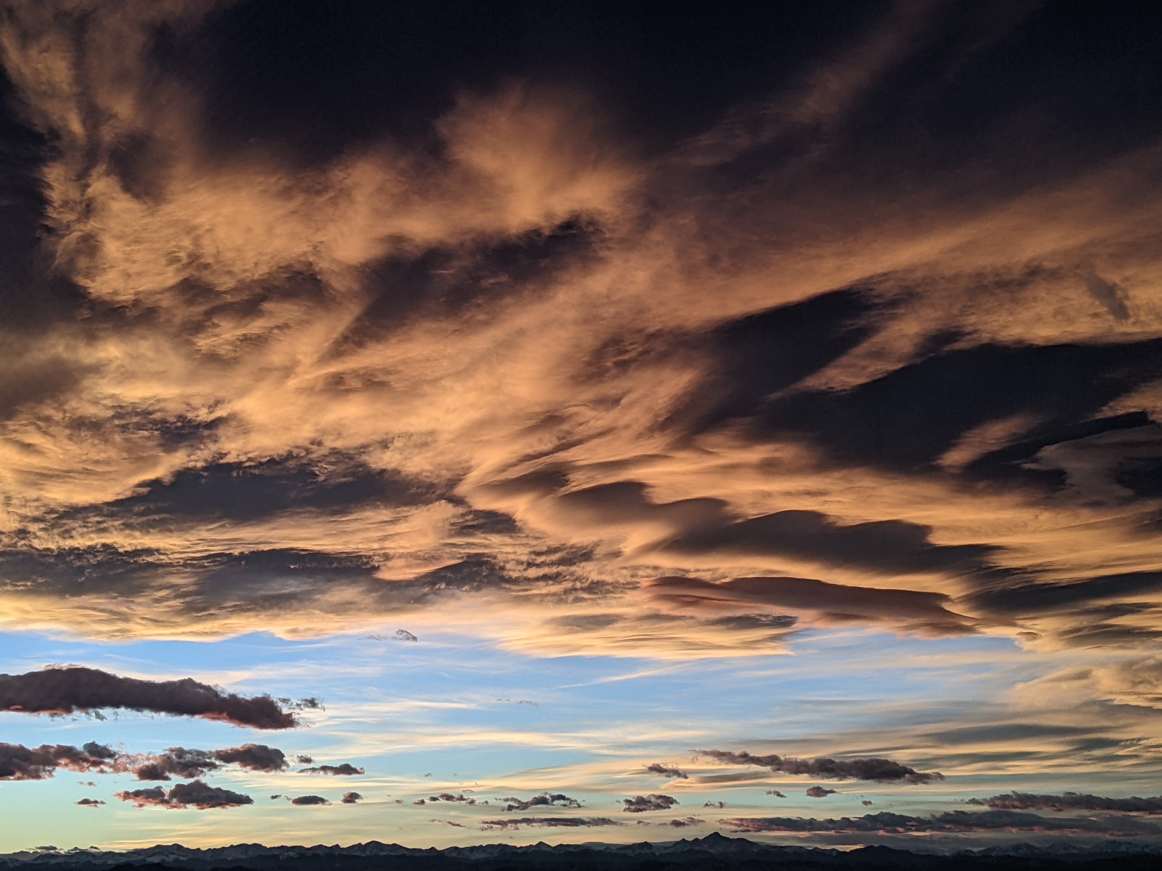
A mixture of sun and clouds with breezy winds and temperatures in the upper forties are over the Steamboat Springs area this Friday mid-afternoon. Behind a disorganized weather disturbance that has stayed mostly to our north today, there may be some sun on Saturday with temperatures in the fifties. However, clouds will thicken and lower later in the day ahead of small storm that starts Saturday night and lingers through Sunday. After the past week of inclement weather, nice springtime weather is advertised to start the work week.
Persistent areas of low pressure over the Pacific Northwest and the upper Midwest have kept the jet stream overhead this week, leading to the windy conditions. Additionally, energy ejecting out of the Pacific Northwest has lead to our week of inclement weather, with impressive late-season snow totals reported at the Steamboat Ski Resort. Despite the pleas from the snow gods and the public to extend the ski season, the 16.5” at mid-mountain and 29” up top between Monday afternoon and Thursday morning has sat mostly undisturbed since Closing Day last Sunday.
An inconsequential storm has stayed mostly to our north today, precluding much, if any, precipitation. But another storm currently moving through the Gulf of Alaska will help dislodge the area of low pressure over the Pacific Northwest and then move over our area from Saturday night through Sunday. Winds will turn to be from the west to our favorable direction from the northwest, and I would expect 2-5” at mid-mountain between Saturday night and Sunday afternoon, with more likely at higher elevations.
The work week looks to start nice as a ridge of high pressure builds over the West ahead of what looks like a grazing storm for midweek that is currently part of a storm in the Bering Sea. But far more interesting will be the progression of Typhoon Malakas which is currently near Japan and is the first named storm and first typhoon of the year in the West Pacific. Unbelievably, there is reasonable weather forecast model agreement that the decaying typhoon will interact with what is left of the Bering Sea storm as it crosses the Pacific during the work week and bring another round of wintry weather to parts of the West sometime around next weekend.
So stay tuned to my next regularly scheduled weather narrative on Sunday afternoon where I should have better ideas about the impacts of that grazing midweek storm and the possibility of wintry weather around next weekend.


