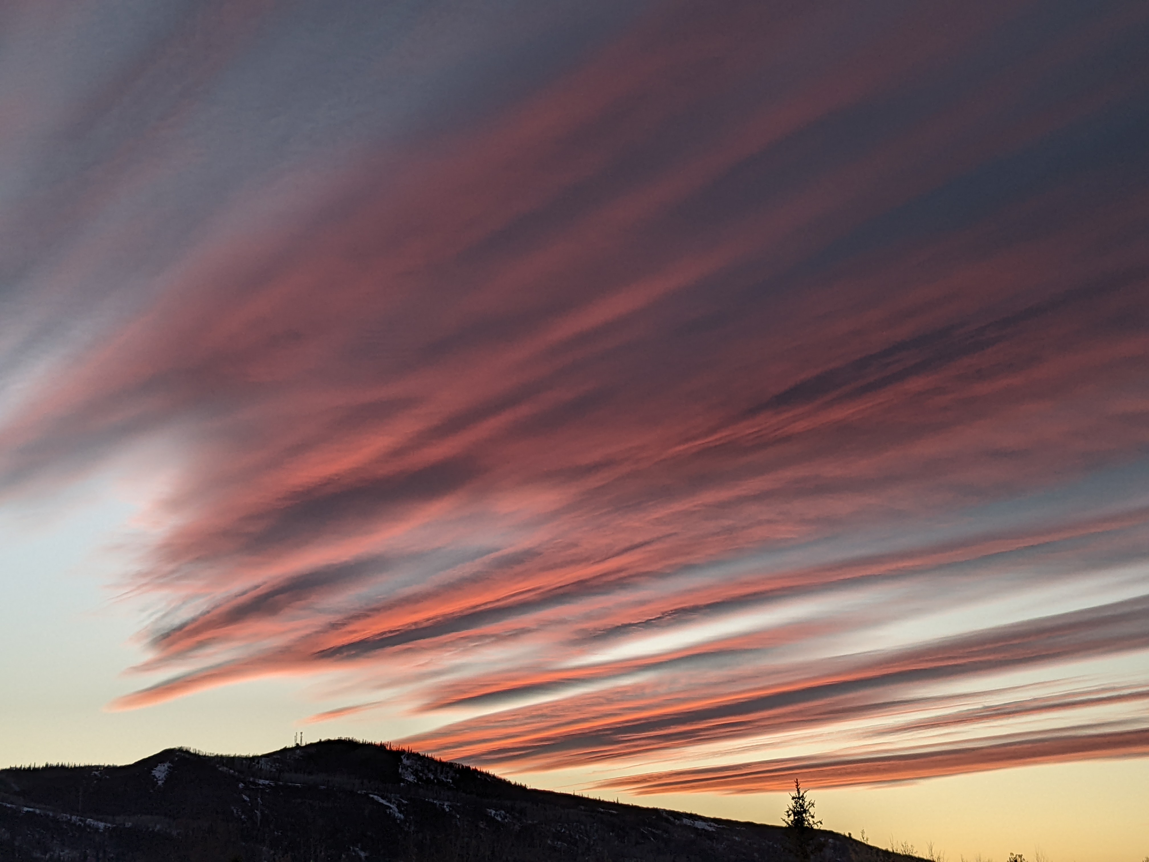
Closing Weekend weather starts nice and turns unsettled
Thursday, April 7, 2022
The winds have finally subsided on this sunny Thursday noon with temperatures in the mid-thirties in the town of Steamboat Springs and upper teens near the top of the Steamboat Ski Resort. Sunny skies and warming temperatures will continue into Closing Weekend before a cold front Saturday night brings increasing clouds and winds by Saturday afternoon, snow showers on Saturday night and a cool and unsettled Closing Day on Sunday.
A ridge of high pressure is currently sitting over the West Coast, with two areas of deep and cold low pressure areas extending from the Bering Sea through the Gulf of Alaska and from the Great Lakes through the eastern half of the country. The ridge of high pressure will move over our area by Saturday morning, allowing for plenty of sun and warming temperatures from a bit below our average of 50 F today to the mid-fifties on Friday.
While Saturday will likely start sunny, the leading part of that Gulf of Alaska storm is forecast to cross the Pacific Northwest coast early on Friday and move across the Great Basin through the day, landing on our doorstep by Saturday afternoon. So even though temperatures will continue to rise toward the sixty degree mark in town on Saturday, clouds will be increasing through the day as westerly winds increase.
The cold front associated with this leading storm is forecast to pass through around Saturday evening, with the snow showers at all elevations heaviest overnight and tapering off on a cool Sunday where high temperatures will be relegated back to the forties. Snowfall amounts are will be dependent upon the amount of moisture associated with the storm, with some models predicting 3-6” by the Sunday morning report and others producing nothing. My guess is there will be enough for yet another (low end) Closing Day powder day, as often seems to happen.
What else also often seems to happen right after the ski area closes is a major storm, and the coming work week will reinforce that odd coincidence. Additional cold air from around the Bering Sea and western Alaska will continue to be incorporated into the bulk of the Gulf of Alaska storm, which is forecast to move over our area in pieces through most of the rest of the work week. This will be a cold and wet system, with total snowfall possibly containing around an inch of liquid water, so we are not done yet adding to our snowpack, which peaks on average tomorrow.
I would say normally to stay tuned to my next regularly scheduled weather narrative on Sunday afternoon, but with that being Closing Day and the possibility that I will have to personally inspect any new snow Sunday morning, my regular schedule may be interrupted. So if not Sunday, then I’ll have more on our next likely major wintry storm on Monday.
Add comment
Fill out the form below to add your own comments


