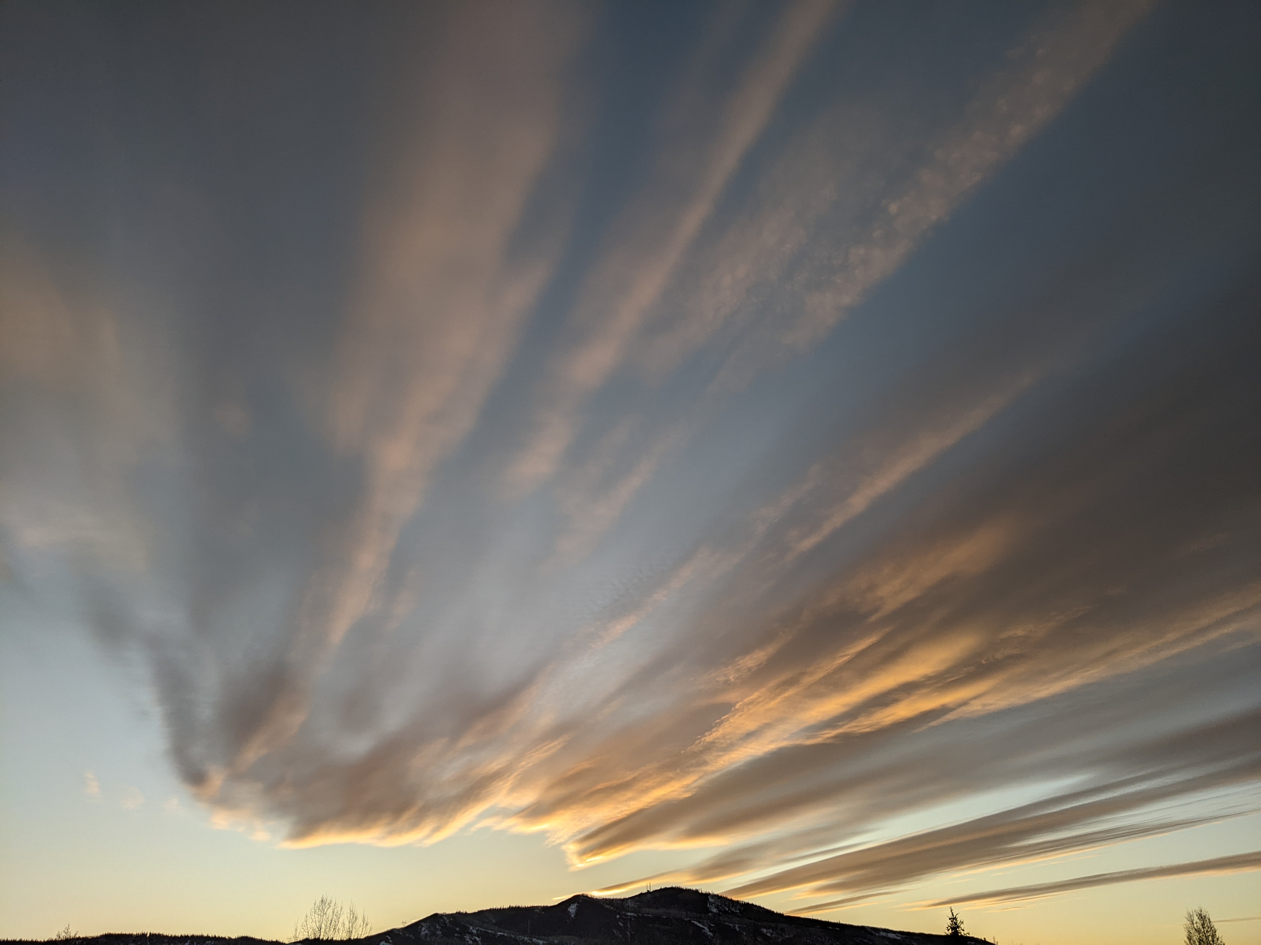
Windy and wintry weather returns on Tuesday
Sunday, April 3, 2022
Temperatures are in the mid-forties in the town of Steamboat Springs and mid to upper twenties near the top of Mt Werner under mostly cloudy skies this Sunday afternoon. We should see some sun tomorrow along with warmer temperatures ahead of a wintry storm that will bring windy and snowy weather back to our area starting on Tuesday. While the bulk of the snow will likely fall on Tuesday, the storm will linger into Thursday morning before warming temperatures and clearing skies start the Closing Weekend of the Steamboat Ski Resort.
A storm currently in the Gulf of Alaska is mixing with some cold air from western Canada, and is forecast to strengthen into a large wintry storm that will travel across the country this week and bring freezing temperatures to the entire East by the weekend. Behind a wave of moisture that brought 1.5” of snow to the top of Mt. Werner just after report time this Sunday morning, we should see some filtered sunshine for the rest of this afternoon and more sun on Monday under increasing breezes from the west where high temperatures should be around five degrees above our rapidly increasing average of 49 F.
That all changes after midnight on Monday as the Gulf of Alaska storm moves across the Pacific northwest and strengthens as it moves across the northern tier states through midweek. A strong cold front will be on our doorstep by Tuesday morning, with increasing moisture in windy flow from the northwest starting snows by around sunrise.
One thing that has shown up in at the end of the shorter-range forecasts is the possibility of some freezing precipitation Tuesday morning as the cold front moves through the area. This may or may not occur, but any icing, along with strong winds, is sure to complicate lift operations.
Snowfall amounts are uncertain, but currently we could see an inch or two by the Tuesday morning report, with another 3-6” during a windy day that may have gusts above 50 mph and lead to difficult travel at times over Rabbit Ears Pass.
Snowfall rates will decrease overnight and into Wednesday morning, where there could be 4-8” reported at mid-mountain for the Wednesday morning report. High temperatures will plummet from five degrees above average on Monday to fifteen degrees below average on Tuesday and Wednesday, with temperatures in town struggling to reach much above freezing on both days.
Winds will decrease some on Wednesday, and snows may end for a time, but it will still be relatively windy as a trailing wave restarts snow showers later Wednesday and overnight, especially at the higher elevations, with several more inches possible for the Thursday morning report.
And even though we’ll likely see some sun on Thursday, high temperatures will still be below average and in the low-forties as cold air continues to be carried over our area by northerly winds on the backside of the still-intensifying storm that should then be over the Great Lakes.
Beautiful and warm springtime weather should be returning to our area by Friday and for the start of Closing Weekend festivities, including the annual Cardboard Classic, even as freezing temperatures kiss the Gulf Coast and the Florida border.
There is another storm, or series of storms in our future around Closing Day or soon after, which seems to happen more often than not, so stay tuned to my next regularly scheduled weather narrative on Thursday afternoon to see if Closing Day will be more like a winter day or spring day.


