Modest storm to start spring
Sunday, March 20, 2022
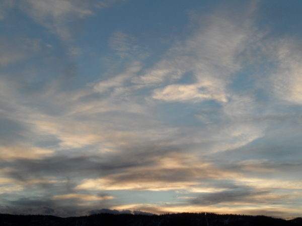
Cloudy skies with temperatures in the mid-forties are over the town of Steamboat Springs on this Sunday, the first day of spring. The clouds are in advance of a modest storm tonight, with cool and unsettled weather persisting through Tuesday. Temperatures will begin warming on Wednesday under mostly sunny skies and approach fifty degrees on Thursday. The warming trend will continue into next weekend except for possibly Friday when a grazing cool front may be close enough to bring some light showers.
Currently, a trough of low pressure extending from British Columbia to the Baja peninsula is moving through the Great Basin after splitting as it crossed the West Coast last night. While the southern end is forecast to further intensify and form an eddy in New Mexico as it ingest moisture from the Gulf of Mexico, we will see a cold front associated with the northern end of the storm pass through our area overnight. Some light showers will break out this evening ahead of the cold front, with precipitation of the liquid variety at the lower elevations. Snowfall should be heaviest along and behind the front around or after midnight, with 3-6” expected at mid-mountain by the Monday morning Steamboat ski resort.
Light snow showers will hold on through the rest of a cool Monday, with another inch or two of accumulations possible. There may be a small break in the unsettled weather early Tuesday before a reinforcing wave of cold air and moisture restart snow showers from about noon on Tuesday into the evening, with several more inches of snowfall possible.
Meanwhile, the southerly flow ahead of strong storm currently developing near the Aleutian Islands and Gulf of Alaska will bring much warmer and sunny weather to our area on Wednesday and Thursday. Some energy moving through the upstream storm may briefly graze our area on Friday for some cooler temperatures, clouds and possibly showers before the ridge of high pressure rebuilds overhead for what is looking like a beautiful start to the weekend.
So stay tuned to my next regularly scheduled weather narrative on Thursday afternoon where I’ll discuss the end-of-week weather and the possibility of that Gulf of Alaska storm moving through our area around the beginning of the following work week.
Add comment
Fill out the form below to add your own comments


