Storms take a break for the weekend
Thursday, March 10, 2022
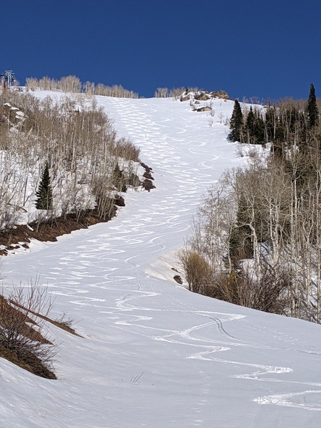
The remarkable winter storm centered on yesterday ended up dumping three feet of snow near the top of Mt. Werner and 21” at mid-mountain from Tuesday night through this Thursday morning. After seeing a low temperature of -6 F up top and 2 F in town this morning , the cold temperatures will stick around for another day before we see warming by Saturday afternoon and Sunday. Our next storm is currently forecast for Sunday night.
We saw 10” at mid-mountain and 16” up top by Wednesday morning after the snows started at 10:30 pm Tuesday night. Ski Patrol measured 18” up top by 8 am Wednesday morning with only 4% liquid water content, and very heavy snowfall rates were observed throughout the day. Another 11” at mid-mountain and 20” up top was reported this morning, of which 4” and 6”, respectively, fell overnight. And as a bonus, the upper mountain base at the Steamboat Ski Resort cracked the 100” barrier for the first time this season at 103”.
The light and fluffy snowfall was settling as it was falling, and, for example, the 20” of snowfall reported this morning up top only contributed to 8” of base! And a long time-lapse of the Steamboat Powedercam never showed the storm total snow over 23” even though 36” was measured separately over the two days.
The arctic front that brought the heavy snows to our area has left a bitterly cold air mass in its wake, with Friday’s low temperatures again forecast to be well below zero up top. And if skies clear tonight, the Yampa Valley will also see low temperatures below zero which could be as cold as twenty to thirty degrees below our average of 15 F in the coldest low-lying areas.
But a ridge of high pressure is forecast to move overhead Saturday afternoon, so temperatures will warm as the arctic air mass is pushed to the east by the encroaching ridge. There appears to be some moisture that will move through the ridge of high pressure as it passes overhead, so we’ll likely see periods of clouds and sun during the days of Friday and Saturday, and perhaps some brief non-accumulating snow showers.
Sunday should start seasonably cool and sunny, though a storm currently developing near the Dateline is forecast to bring snows back to our area by Sunday night. Though there is disagreement between weather forecast models as to the strength of the storm, right now it is looking like a modest event. So stay tuned to my next regularly scheduled weather narrative on Sunday afternoon where I’ll discuss that storm as well as another possible storm around midweek.
Add comment
Fill out the form below to add your own comments


