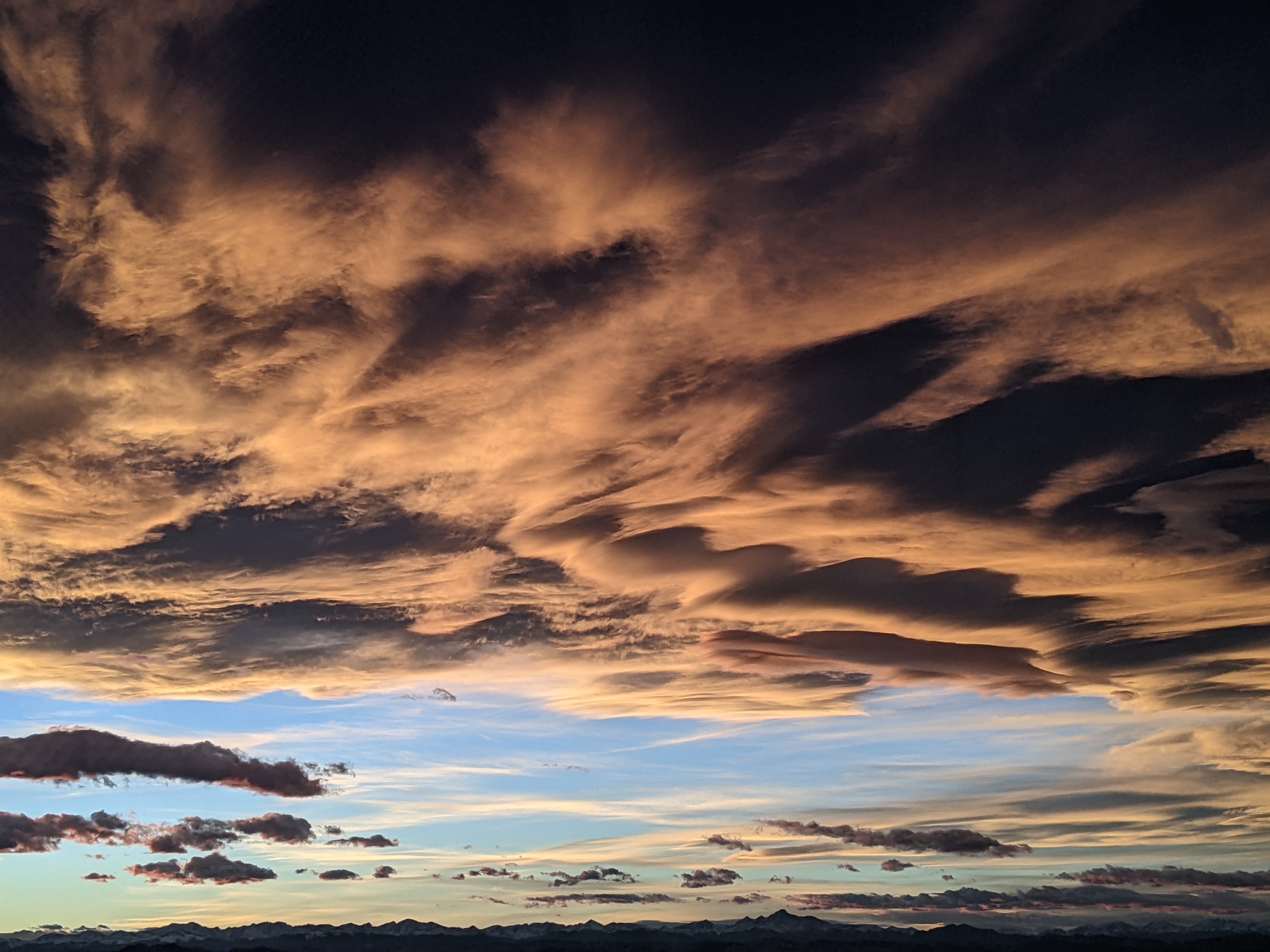
A lot of cold and a little bit of snow
Sunday, January 30, 2022
Temperatures in the Steamboat Springs area have warmed into the mid-teens in town and mid-twenties near the top of Mt. Werner under bluebird skies this Sunday noon. While Monday will start out similar to the last several sunny days, a series of relatively dry cold fronts will pass through the area from Monday afternoon through Thursday. While precipitation will be hard to come by, with our best chances between Tuesday and Wednesday nights, the cold is all but certain as temperatures start a modest decline by Monday afternoon before falling into the basement by midweek.
A ridge of high pressure is currently over the West Coast while a vortex of cold air extends from Baffin Bay west of Greenland southward along the East Coast. While the East digs out of the high-impact Nor’easter from yesterday, we’ll enjoy another gorgeous winter day in the Rockies with afternoon high temperatures approaching or even exceeding the freezing mark at all elevations.
We’ll probably see another sub-zero night in the Yampa Valley as the clear skies allow the temperature inversion to reform, but we should see some clouds by Monday afternoon after a sunny morning as the first in a series of relatively dry cold fronts pass through. There may be some snowflakes around Monday night and early Tuesday morning, but no accumulations are expected.
While the West Coast ridge of high pressure will be temporarily vanquished by the Pacific storm, it is forecast to reform and strengthen from south of the Aleutian Islands northward toward the Arctic Circle early in the work week. This will allow the bitterly cold air from central and eastern Canada to move down the eastern periphery of the ridge and bring frigid temperatures to our area by midweek.
While it appears the Front Range will see the most snowfall thanks to the easterly winds associated with the cold air surges, we may see some light snowfall from Tuesday through Wednesday nights, with an optimistic 2-5” possible. But the big story will be the cold, as temperatures drop precipitously on Tuesday, and then again on Wednesday and Thursday. High temperatures in town may be in the upper teens on Tuesday and approach the single digits on Wednesday and Thursday, while summit high temperatures will drop to around ten degrees on Tuesday and struggle to rise much above zero on Wednesday and Thursday.
But the sun should return on Thursday, even though temperatures won’t noticeably warm until Friday. A relatively chaotic weather pattern is then forecast for next weekend as waves of energy containing very little moisture move through the Great Basin, with a bit of snow possible around mid-weekend. Other than that, this pattern change, while forecast for a while, unfortunately looks to bring far more cold than snow. Stay tuned to my next regularly scheduled weather narrative on Thursday afternoon to see what might be in store after our work week cold spell.


