Small storms for Tuesday and Thursday
Sunday, January 23, 2022
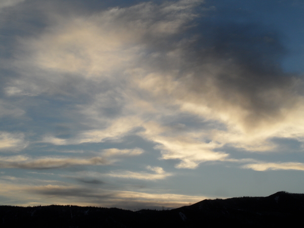
Bluebird skies and temperatures in the low teens at the Bob Adams airport and upper teens near the top of Mt. Werner are over the Steamboat Springs area this Sunday noon. We should see increasing clouds on Monday ahead of our next small storm on Tuesday. While Wednesday currently appears dry, another small storm looks to pass close enough to bring another round of light snow chances for Thursday followed by dry weather heading into next weekend.
As has been the case since the big snowstorms ended near the beginning of the month, a ridge of high pressure currently sits over western North America while a deep trough of low pressure centered over Hudson Bay sits over the eastern half of the continent. A couple of unimpressive waves of moisture and energy are forecast to ride over the top of the ridge of high pressure to our west and mix with some cold air spinning around the Hudson Bay vortex of cold air, bringing snowfall chances back to our area on Tuesday and Thursday.
Both of these waves are expected to split as they approach our area, which further reduces confidence in the amount of snowfall we could receive. But we should see clouds increasing on Monday ahead of the first storm, with light snowfall breaking out Monday night and continuing through the day Tuesday, leaving 2-5” of snowfall at mid-mountain at the Steamboat Ski Resort.
It looks like we will see some sun on Wednesday ahead of a similar, but weaker, storm on Thursday. Weather forecast models are still waffling on the westward extent of the storm, but it looks like we could see another 1-4” of snow which should occur during the daylight hours of Thursday.
That persistent ridge of high pressure over North America looks to move eastward and over our area to start next weekend as the flow over the Pacific reorganizes, so expect dry weather and warming temperatures, especially at the higher elevations. This shift looks to be the beginnings of a pattern change that may bring the storm track back to our area during the following work week, though I’ll be more confident of that assessment in my next regularly scheduled weather narrative on Thursday afternoon.


