More snow and bitter cold on the way
Thursday, December 30, 2021
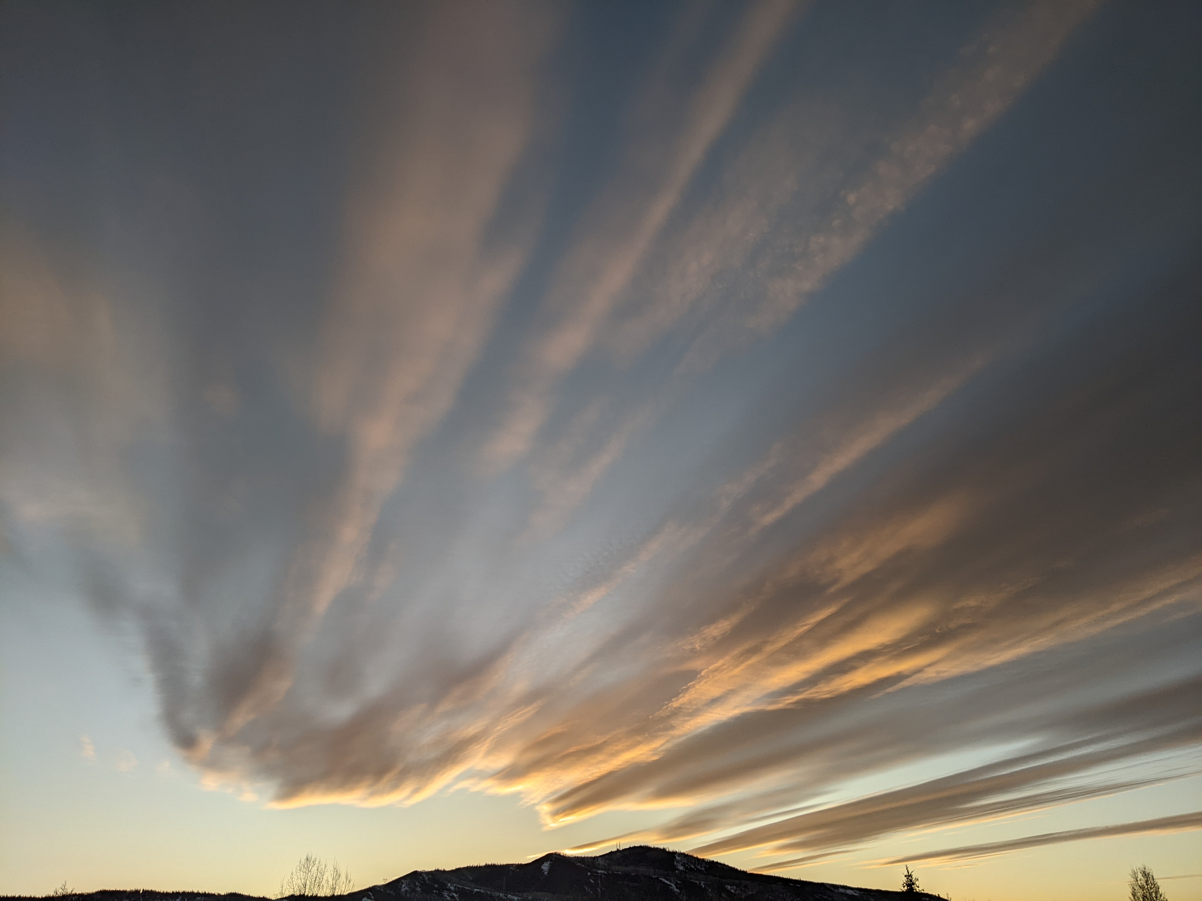
Even though there were peeks of sun over the Steamboat Springs area around noon on this Thursday, clouds have thickened ahead of the last storm in this series that started one week ago. Snow showers have already started at the higher elevations this mid-afternoon and will descend to the Yampa Valley floor this evening and intensify as bitterly cold arctic air begins to filter in, creating difficult travel conditions expected to last from tonight through most of the day Friday. Frigid temperatures will greet the new year as snow showers taper off on New Years Day, with bluebird skies expected to end the weekend and start the first work week of the new year.
An eddy has formed off the coast of California from the storm yesterday while arctic air from western Canada pours into a storm currently moving through the Pacific Northwest. This storm will force that eddy eastward, but not before some moisture associated with the eddy mixes with the upstream storm as it moves through the Great Basin on Friday. So we’ll have plenty of moisture, storm energy and cold air that will produce significant snow over our area from later this evening through Friday afternoon as waves of energy eject out of the storm.
Winds will increase from the southwest from this afternoon through about midnight when they peak, with gusts at mountain top possibly exceeding 60 mph around midnight. Winds will subside as the cold air filters in, but will still remain as mountain top temperatures pretty much take a one-way ride downward from about 15 F after midnight tonight to well below zero by Saturday morning. Temperatures won’t rise much on Saturday either, likely staying below zero, before clearing skies brings the coldest temperatures of the season to our area on Sunday morning.
But the cold temperatures will bring mostly low-density and fluffy snowfall to our area, with 5-10” of new snow expected for the Steamboat Ski Resort Friday morning mid-mountain report, with that much again during the day. Snowfall rates will likely peak between midnight tonight and sunrise Friday morning, perhaps exceeding an inch per hour under the heavier showers, and then gradually decrease but still remain robust through at least noon and possibly mid-afternoon on Friday.
Snow showers look to continue Friday night, but become lighter and more intermittent as they taper off by Saturday afternoon for an additional 2-5”. And in a switch from our usual big snow events, the coldest part of the storm moves overhead Saturday night as the atmosphere dries, so expect negative teens over our area, with the lowest temperatures in the Yampa Valley appearing by Sunday morning, about six hours behind the higher elevations lows expected around Saturday midnight.
Sunday should be a brilliantly sunny but cold winter day as we see our first dry day in over a week. A transient ridge of high pressure is forecast to build and move over our area through the first few days of the new year, with more snow possibilities starting around midweek. Enjoy the powder to start the new year, but be mindful of the extreme cold when outside, especially when reveling, and I’ll be back with my next regularly scheduled weather narrative on Sunday afternoon.
Add comment
Fill out the form below to add your own comments


