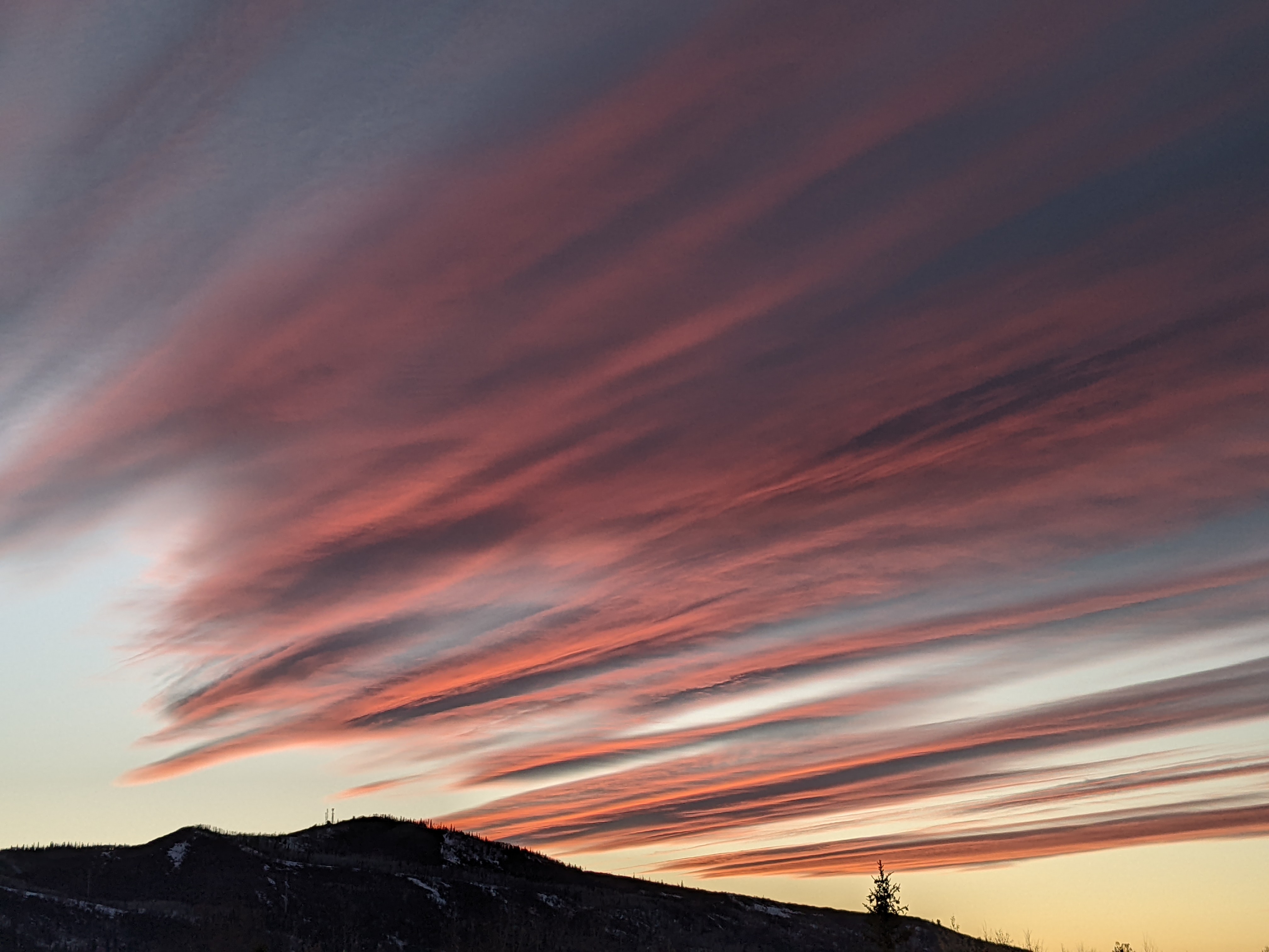
Chances for snow each day for the rest of the year
Sunday, December 26, 2021
Gusty winds and falling temperatures are over the Steamboat Springs area early this Sunday afternoon as the next winter storm moves overhead. Snows will diminish after the storm later tonight, but might not completely end as the atmosphere remains unsettled ahead of our next colder storm for Monday night and early Tuesday. The unsettled weather looks to remain overhead for the duration of the year and may be punctuated by what seems to be our annual storm to start the new year.
The winds picked up when cold air started filtering into our area around 11 am, with sustained speeds of 45 mph and gusts to 70 mph observed at the top of Mt. Werner at 1 pm. The snows have now started, and combined with the wind will make for difficult travel at all elevations as blowing snow obscures visibility and creates slick roads. Expect 2-5” of accumulated snow at mid mountain through the rest of the day if you can find a patch of ground undisturbed by the wind. And combined with the several more inches possible overnight, there could be 4-8” on the Monday morning report.
Even as the snows diminish, a large and persistent trough of low pressure along the West Coast will be recharged by additional waves of energy moving southward from the northern latitudes through the week. Energy almost continually being ejected out of that trough will continue the unsettled weather during the day Monday ahead of our next distinct storm from Monday night through early Tuesday.
This one will carry some colder air than the storm today, and we should see less dense and fluffier snowfall at the end of the storm. Combined with the snow showers during the day Monday, we could see 6-12” of snow by the Tuesday morning report at mid-mountain, and thankfully less wind.
More energy that is forecast to slingshot around the West Coast storm will move mostly to our south behind the storm, thought it may be close enough for continued snow showers during a relatively cool Tuesday and Wednesday. These showers may actually end for a short time later Wednesday as the next wave moving southward from the northern latitudes splits around Vancouver.
This split will be the key to our New Year’s storm as the southern end is forecast to form an eddy and loiter off the coast of California for a day. While the southwest flow ahead of this part of the storm is forecast to draw subtropical moisture northward, the northern part of the split is forecast to move southeastward and over our area on Thursday, keeping the cool weather around and restarting the snow showers.
Finally, possibly the last wave from the north in this long duration winter weather event that started this past Friday is forecast to pass through the Vancouver area Thursday night and force that eddy off of California to the east. While there are still weather pieces that need to come together, we could be looking at a significant snowstorm from Friday into New Year’s morning as the cold air from the north combines with the warm and moist air from the south.
And after a week of almost constant snowfall, It does look like we dry out for at least several days behind that last storm of the year under quite cold temperatures. Stay tuned to my next regularly scheduled weather narrative on Thursday afternoon where I’ll have a much better idea on how much snow we'’ll see for the last day of 2021 and the first day of 2022.


