Long duration winter weather event starts tonight
Thursday, December 23, 2021
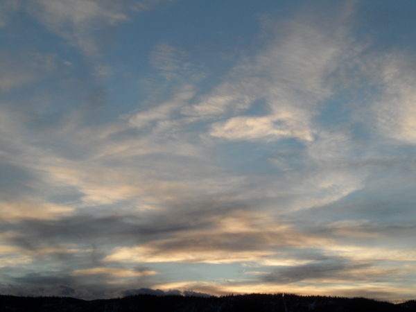
Clouds and some flurries are over the Steamboat Springs area this Thursday afternoon ahead of a long duration winter weather event that starts in earnest tonight. The question is not how many days it will snow for the upcoming week, but how many days it won’t as several storm systems are forecast to pass through our area. Travel will obviously be difficult or even impossible at times over Rabbit Ears Pass, even though it currently appears most favorable from Christmas afternoon through Sunday morning and on Monday, though elevations at and above pass level may see snows continue, though at much lesser intensities.
Currently an elongated trough of low pressure is centered off the West Coast and extends from the Yukon southwestward to east of Hawaii. Winds are from the southwest for all of the western U.S. ahead of the storm, with the southern part of the storm incorporating a relatively narrow stream of subtropical and even tropical moisture from east and southeast of Hawaii that meteorologists call an atmospheric river.
While there will be plenty of moisture over our area, there will not be much cold air as the winds from the southwest keep relatively warm temperatures overhead. But there will be enough for a couple of cool fronts to move through our area around midnight tonight and later on Friday, with snowfall rates increasing to an inch per hour or more at times under the heavier showers.
I would not expect the snowfall to begin in earnest until around midnight tonight when the first cool front moves through, and 3-6” of snowfall are possible on the 5 am mid-mountain ski report from the Steamboat Ski Resort. Even as that first front moves through, additional energy from the northern latitudes is forecast to reinvigorate the West Coast storm, keeping it mostly in the same place while upstream energy slingshots around the base of the storm and eventually moves overhead.
Weather forecast models have struggled with the exact timing of these waves of energy, with the latest forecasts bringing another cool front through our area later Friday, so expect periods of moderate to heavy snowfall through the day which should diminish overnight and into Saturday morning, though likely not stop. There could be another 4-8” during the day Friday and another 3-6” overnight for a 7-14” Saturday morning report.
There are several concerns with this storm and they all have to do with the prolonged period of southwest flow. Our best snows come when winds are from the northwest and we have strongly falling temperatures, and both of those things will not be happening until possibly next week. Another concern is windy conditions, especially tonight as gusts may exceed 60 mph on top of the mountain.
Winds from the southwest and the west are far less sheltered than the favorable northwest flow over the Steamboat Ski Resort, so relatively dense snow combined with wind may make for difficult skiing, though that is just a guess and I will personally have to investigate that hypothesis tomorrow!
So the weekend will start with a white Christmas, though snows should wane during the day and overnight. Another wave from the northern latitudes rounds the West Coast storm on Saturday, with weather forecast models bringing that overhead Sunday. There is more cold air associated with this than the Friday storm, so we may benefit from less dense and fluffier snow, though winds only briefly turn to the west or just north of west for a short time before temperatures rise as southwest flow again dominates for Monday.
However, there appears to be a break in the stream of moisture for the first part of Monday, so that is currently looking like a brief travel window. But, the next storm is on our doorstep by later Monday, with more significant snow possible for Tuesday, though the weather forecast models disagree on exactly how that West Coast storm will evolve.
I’ve gone well over my self-imposed word limit, even though there is lots more to write about as this long duration event begins. Feel free to ask me about it if you happen to see me on the hill, and be sure to stay tuned to my next regularly scheduled weather narrative sometime on Sunday (usually Sunday afternoon, but I want to leave my ski options open!) where I’ll discuss the upcoming parade of storms.
Add comment
Fill out the form below to add your own comments


