Beautiful start to the week followed by a snowy Christmas weekend
Sunday, December 19, 2021
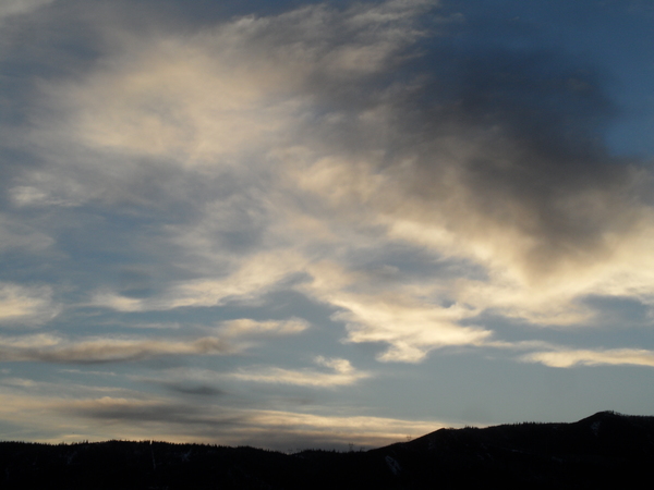
Mostly sunny skies with temperatures in the twenties are over the Steamboat Springs area early this Sunday afternoon. More of the same is forecast to start the holiday-shortened work week before clouds increase on Thursday ahead of a long-lasting stormy pattern that may be around for the rest of this year.
Currently, a large trough of low pressure extends southward from the Gulf of Alaska towards Hawaii. Winds from the southwest ahead of the storm have tapped into a plume of subtropical moisture northeast of Hawaii, creating a relatively narrow but long atmospheric river, which in this case is also known as the Pineapple Express. While it is currently directed at the Oregon - Washington border, bringing copious precipitation to that area, the atmospheric river is expected to first move northward as the storm off the coast deepens and tries to form an eddy cut off from the main jet stream.
The main source of uncertainty in the past longer range weather forecasts that were valid this week involved a chunk of cold air from Siberia just now traversing the Bering Strait and how much of this cold air intensified the storm off the West Coast and how much traveled eastward.
The weather forecast models seem to have converged on the idea first suggested by the American GFS last week that most of the cold air will mix with the West Coast storm, forcing it to sink further south and bringing the atmospheric river with it. The end result is likely another massive storm for the Sierra Nevada mountain range, with some forecasts calling for up to 100” of snow starting Wednesday night and lasting through the Christmas weekend.
After the West Coast storm reaches its southern extent late Wednesday, it is then forecast to move east, bringing some of the atmospheric river with it. Weather forecast models have trended later with this eastward movement, and it now looks like we will see thick clouds over our area on Thursday, with relatively warm precipitation breaking out by Thursday night. It is not clear yet whether the lower elevations see any rain ahead of cooler air for Friday.
The cooler air on Friday will be associated with the bulk of the original West Coast storm, even as that area of storminess off the West Coast is reinvigorated by continued waves of cold air dropping southward from the northern latitudes. Expect the showers on Thursday night to become more persistent toward Friday morning, with moderate to heavy snows during the day.
Weather forecast models currently have the snows decreasing by later Friday, though they may not stop through the weekend as waves of energy and moisture continue to eject out of that persistent West Coast trough of low pressure. And at some point during the following week, that trough of low pressure is forecast to move bodily eastward, bringing more snow and very cold temperatures with it.
Several weather pieces will be moving around during our current stretch of gorgeous weather, and how those pieces interact will determine snow amounts for our area later in the week. So stay tuned to my next regularly scheduled weather narrative on Thursday afternoon where I’ll have snowfall guesses for Friday and a better idea of the weather for this Christmas weekend and the last week of 2021.


