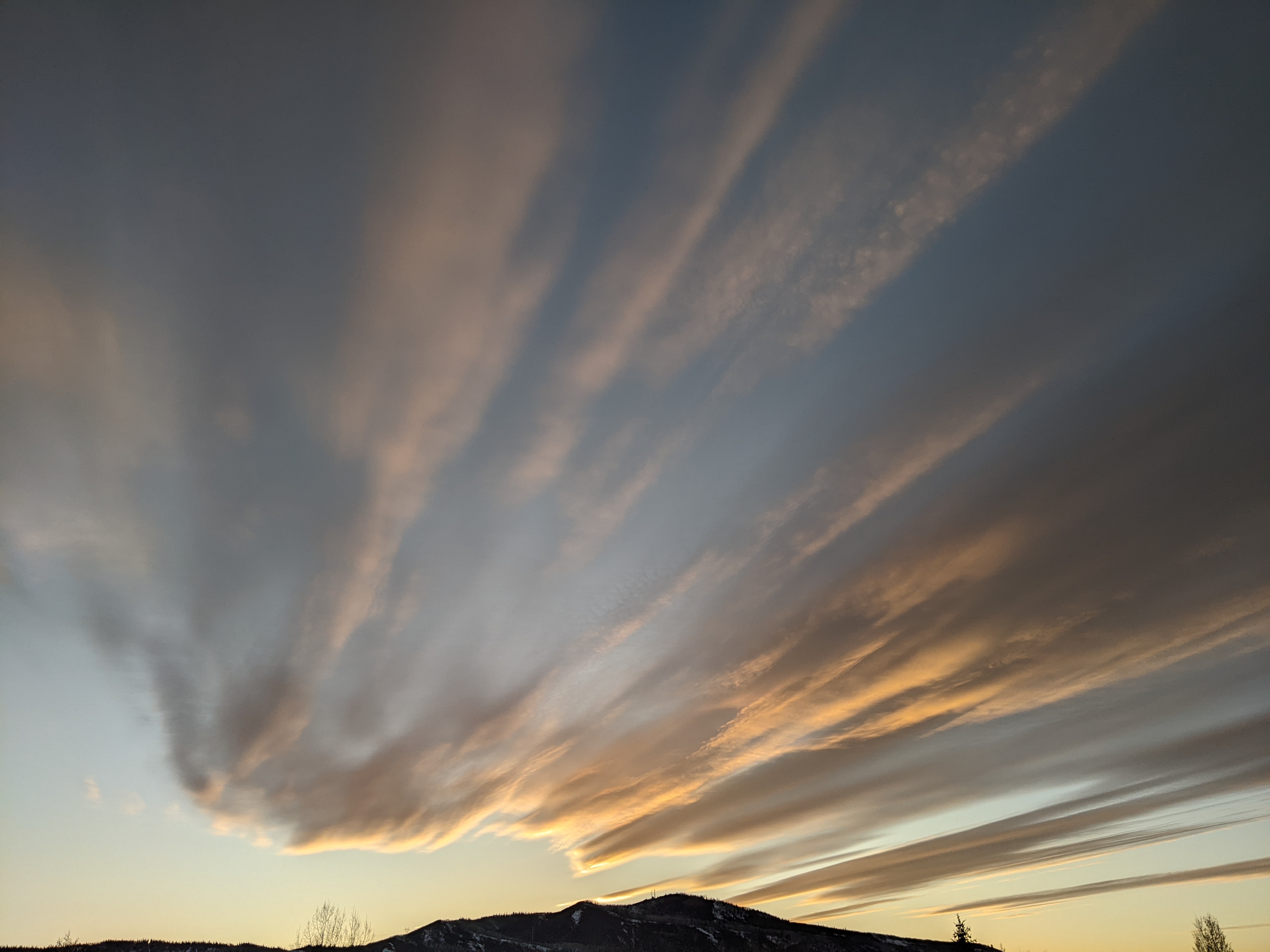
Stormy pattern on the horizon
Thursday, December 2, 2021
The Steamboat Springs area is enjoying another warm and sunny day with temperatures already in the low fifties as of early this Thursday afternoon. While today will likely be the warmest day of the week, and possibly the warmest day until next spring, lots of sun and still-warm temperatures around fifty degrees are expected through Saturday. However, Sunday turns cloudy and cooler with a chance of some showers as the storm track finally shifts southward, which brings good chances for cold and snow starting early in the work week.
Our area is currently south of the storm track which is moving across the Canadian border, and is bringing the unseasonably warm and dry weather overhead. Several waves of energy will nudge the storm track slightly southward through Saturday, lowering the high temperatures by a few degrees each day even as we still see lots of sun.
Meanwhile, our next weather makers consist of a storm currently northwest of Hawaii and another in the Bering Sea. A wave ejecting out of the Hawaii storm will move northward and mix with some cold air from the Gulf of Alaska on Saturday, grazing our area on Sunday with a cold front. Breezes will increase from the west and northwest Saturday afternoon ahead of the storm before the cold front passes through during the day on Sunday, dropping temperatures and bringing a chance of snow showers.
The small storm is forecast to quickly move through our area during the day, and we may see some clearing in the afternoon with high temperatures only expected to be around forty degrees, which is still around ten degrees above our average of 31 F.
But a much larger part of the Hawaii storm is forecast to follow a similar track a day later. And not only will the initial storm be stronger than the leading wave, but more cold air is forecast to mix with the storm as it moves through the Gulf of Alaska on Sunday, leading to a much stronger storm that is currently forecast to move through our area from Monday afternoon through Tuesday evening.
And we have the Bering Sea storm forecast to follow later in the work week, so it looks like the pattern change forecast over a week ago is actually going to happen. So enjoy the coming warm and sunny days as it looks like winter is fast (and finally) approaching. And I’ll have lots more to say about the coming storms including some snowfall guesses in my next regularly scheduled weather narrative on Sunday afternoon.
Add comment
Fill out the form below to add your own comments


