More warm and dry weather ahead
Sunday, November 28, 2021
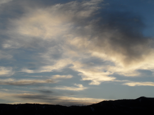
Mostly sunny skies with temperatures in the upper forties are over the Steamboat Springs area early this Sunday afternoon. Not much change in the weather is expected heading into next weekend other than some periods of increased high cloudiness as disturbances pass well to our north.
A broad ridge of high pressure is currently centered over the Desert Southwest while a deep and cold area of low pressure extends from north of Hudson Bay southward across the Great Lakes and into the Ohio River Valley.
While Pacific energy and moisture traveling over the top of the western ridge of high pressure is currently bringing precipitation to areas around Vancouver and Washington, those waves are forecast to stay north of our area through the work week. We may see some increased clouds around Monday night and during the day Wednesday as these disturbances graze our area, along with high temperatures in the mid-forties on both Tuesday and Wednesday, but other than that expect lots of sun with high temperatures possibly breaching the fifty degree mark.
Despite the warm days, nighttime temperatures should continue to fall into the twenties, so snow making operations should be able to continue during each of the nights. Of course, all eyes are on the when this unseasonably warm and dry period might end, and it appears a Pacific disturbance may begin to break down the ridge next weekend and allow storms to move over our area by the beginning of the following work week.
This pattern has been promised for a while now by the longer term weather forecast models, but it is encouraging that it now appears in the middle of the approximately two week extended forecast period rather than at the end. Be sure to stay tuned to my next regularly scheduled weather narrative on Thursday afternoon where we’ll see if this pattern change is still in our future.
Add comment
Fill out the form below to add your own comments


