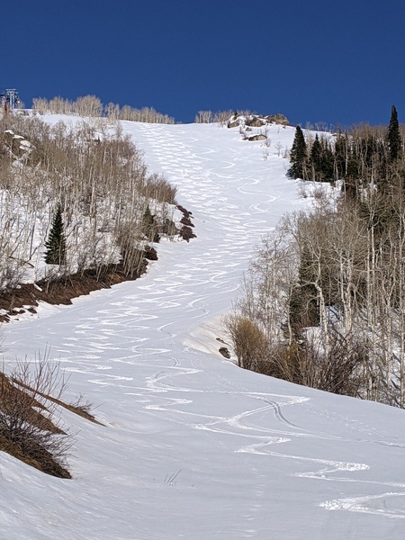
Gorgeous fall weekend coming up
Thursday, November 4, 2021
Temperatures are in the mid-fifties late this Thursday afternoon under brilliant blue skies. More of the same is expected through the weekend with an unsettled weather pattern currently forecast for the following work week.
A ridge of high pressure over the southern and central Rockies is currently extending northward into the central Canadian Plains and is flanked by a strong area of low pressure centered in the Gulf of Alaska and another centered over Hudson Bay which extends southward through the Great Lakes. A weak wave of energy currently moving across the Pacific Northwest will have little affect on our area on Friday as it passes to our north, other than some stronger breezes generally from the west.
The breezier conditions look to persist through the weekend under continued sunny skies and temperatures approaching and possibly exceeding sixty degrees, well above our average of 48 F, as the storm track stays north of our area.
Waves of energy and moisture are forecast to be ejected out of the Gulf of Alaska low pressure area even as it is constantly recharged by more incoming Pacific energy and cold air moving southward through the Bering Sea. Weather forecast models are disagreeing about the timing of these disturbances, though it looks like one will be close enough to our area near the beginning of the work week for the possibility of some light showers, followed by a stronger system for midweek.
Enjoy the gorgeous fall weekend, and I’ll have more about the unsettled weather pattern for the following work week in my next regularly scheduled weather narrative on Sunday afternoon.


