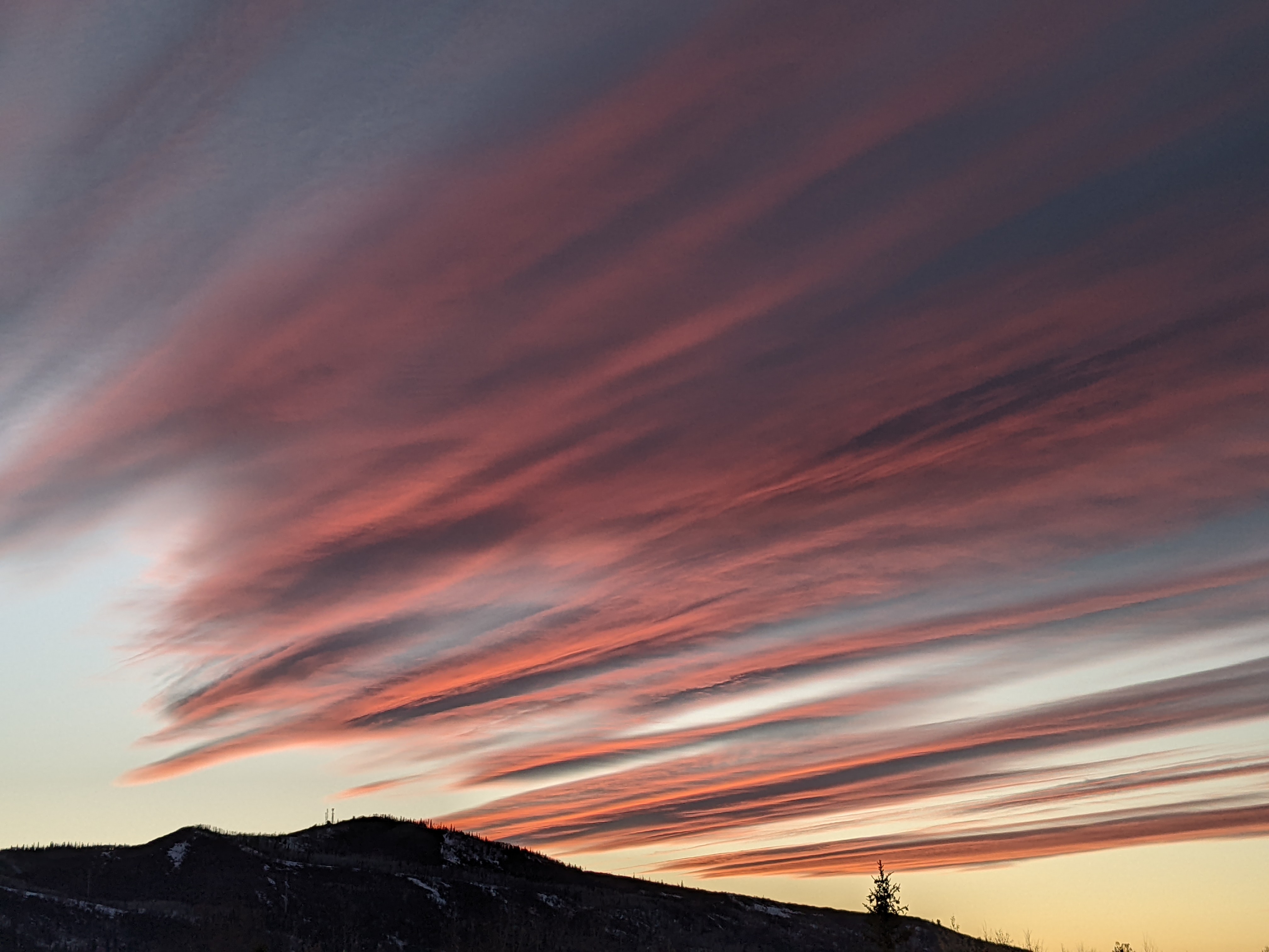
Unsettled weather for the work week starts later Sunday
Sunday, October 31, 2021
Partly sunny skies with temperatures in the low fifties are over the Steamboat Springs area just after noon on this Sunday. A series of disturbances will pass through the area through midweek with the first bringing rain showers to the Yampa Valley and snow showers to the higher elevations starting late this afternoon or evening. Periods of precipitation will continue through midweek, with snow possible down to the valley floor by Wednesday morning before we see a break in the unsettled weather on Thursday.
Our area sits between a deep and cold area of low pressure over the upper Midwest and a strong ridge of high pressure extending from Vancouver northward along the British Columbia coast. A cold front associated with the Midwest area of low pressure is currently moving southward through Wyoming and will be on our doorstep this evening. Additionally, an eddy spinning along the Oregon coast will be forced mostly eastward under the ridge of high pressure by a storm in the Gulf of Alaska, with some energy ejecting out ahead of the eddy bringing showers to our area later this afternoon or evening.
I’m sure all parents bringing their children to the annual Downtown Halloween Stroll want to know the exact time showers will start, but unfortunately I can provide only a rough estimate. My guess is that the cold front will remain to our north and the event will start dry, though there will likely be some passing rain showers by 6 or 7 pm.
Some of the eddy is forecast to move through our area Monday morning, and in addition to some cool air leaking south from the cold front to our north, expect some light showers through the night increasing in intensity at times from Monday morning through the afternoon. Several inches of accumulation are possible at the higher elevations, with some flakes possible down to the Yampa Valley floor.
Better chances of more significant precipitation begin later Tuesday and overnight thanks to the incoming Gulf of Alaska storm. The storm is forecast to split when it makes landfall on Monday, with the southern piece moving across our area later Tuesday and combining with another surge of cool air from that area of low pressure over the Midwest. We could see 1-4” of snowfall accumulate on the non-paved areas around town between Tuesday and Wednesday afternoons in our favorable cool, moist and unstable flow from the northwest, with 5-10” of snowfall at the top of Mt. Werner and difficult travel at times over Rabbit Ears Pass.
Snow showers will hang on but taper off at the higher elevations through Wednesday afternoon, with a dry and mostly sunny day forecast for Thursday. There looks to be another batch of unsettled weather as we head into the weekend, but I’ll talk about that possibility in my next regularly scheduled weather narrative on Thursday afternoon.


