Sunny and warmer weather to start the weekend
Thursday, October 28, 2021
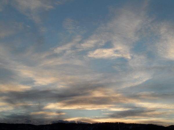
Temperatures are mired in the low forties this Thursday afternoon in Steamboat Springs as a storm reluctantly leaves the area. Sunny and warmer weather returns for Friday and Saturday followed by cooler temperatures and increasing clouds on Sunday ahead of another stretch of unsettled weather for the beginning of the work week.
The storm that began for our area on Tuesday is now located near the southern tip of Illinois, though the cool, moist and unstable northwest flow behind the storm kept snow showers going through the day Wednesday and has allowed the cool and cloudy weather to persist today. However the sun returns for Friday and Saturday as the storm continues moving to the southeast and a ridge of high pressure moves over our area ahead of another incoming Pacific storm, allowing temperatures to rise into the mid-fifties, several degrees above our average of 52 F.
The fate of the next storm is still uncertain, as it is forecast to split as it approaches the West Coast early in the weekend. Some energy will travel over the top of another developing ridge of high pressure along the British Columbia coast and eventually toward our area, and some energy is left behind as an eddy that is forecast to loiter over Oregon for the weekend.
That northern part of the storm is forecast to park a cold front just north of our area by Sunday, while the Oregon eddy will eventually be pushed near our area by a storm currently in the Bering Sea that is forecast to strengthen in the Gulf of Alaska this weekend. And this storm is itself forecast to split early in the work week, with some of that storm affecting our area right behind that eddy.
So we have three moving pieces that will begin to affect our weather on Sunday and continue into the following work week, and the timing and interaction of all these pieces will determine our eventual weather. Right now, it looks like a cooler and cloudy Sunday with rain showers at the low elevations and snow showers at the higher elevations beginning in the afternoon or evening.
These showers will likely intensify and peak Sunday night as the Oregon eddy moves near our area, with rain showers turning mixed or into snow showers by Monday morning. And more unsettled weather is forecast for Tuesday as the next storm eventually moves by. Enjoy the brief return of warmer and sunny weather to start the weekend, and I’ll have an update on how this will eventually play out so you know how to dress for the Steamboat Springs Halloween Stroll in my next regularly scheduled weather narrative on Sunday afternoon.
Add comment
Fill out the form below to add your own comments


