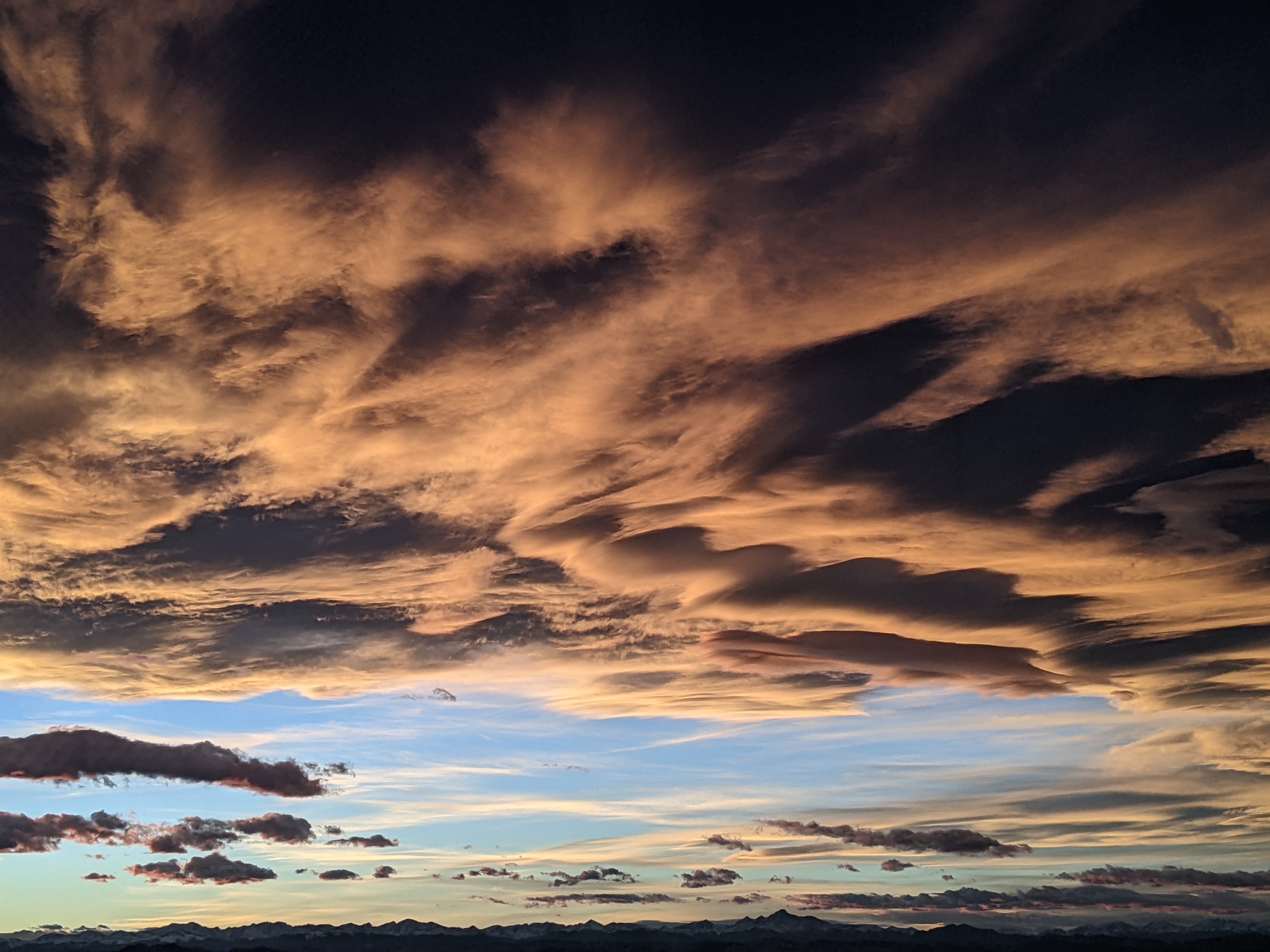
Smoke briefly clears on Friday ahead of breezy cool front
Thursday, August 5, 2021
Temperatures in the Steamboat Springs area are around eighty degrees under cloudless but smokey skies early this Thursday afternoon. The smoke will briefly clear on Friday ahead of a cool front that should bring breezy winds from the west along with a chance of afternoon showers. A cooler Saturday will be followed by a warmer Sunday before temperatures are knocked back again by several degrees through midweek by a couple more grazing cool fronts.
Our weather has transitioned from a very productive week of monsoonal flow typical of mid to late summer to a drier regime with flow from the northwest more typical of late summer to early fall. The past persistent ridge of high pressure over the West has been vanquished for the medium term by a series of low pressure areas from the Pacific Northwest and Canada that has severed the moisture flow from the south and brought cooler air from the northwest overhead.
But not before we added to the rainfall totals discussed in the Sunday weather narrative, with an additional half inch reported in town and around Steamboat Lake on Tuesday and Wednesday with closer to three quarters of an inch on the mountain and around Stagecoach reservoir.
Interestingly, the temperature range between the high and low on Tuesday was only nine degrees between the low of 56 F and 65 F as clouds inhibited warming during the day and cooling at night, and increased over three times that to thirty degrees on Wednesday as the low fell to 48 F, 2 degrees above average and the high rose 78 F, 4 degrees below average.
Unfortunately, the shift in the weather pattern has also transported smoke from fires in British Columbia into our region, though that is expected to clear on Friday as winds shift to be from the southwest early in the day ahead of a cool front later in the day. There is a bit of moisture associated with the front, so expect increasingly breezy winds from the west as the front approaches, with some passing showers in the afternoon.
Saturday temperatures will be several degrees below average, though the winds from the west will again transport smoke into our area according to the latest NOAA smoke plume model, this time from the northern California wildfires. Temperatures warm to above average on Sunday as a transitory ridge of high pressure builds over the central Rockies ahead of dry grazing cool front on Monday that knocks temperatures back again. Temperatures may try to rise a bit for Tuesday but another dry grazing cool front is currently timed for Wednesday.
A ridge of high pressure is forecast to move into the Gulf of Alaska by midweek and build over the West soon after, so another warm spell with temperatures five to ten degrees above average will follow the near-average temperatures earlier in the week. Weather forecast models disagree on the exact orientation of the ridge of high pressure by next weekend, and we could see the return of modest monsoonal moisture, or not, under continued warm temperatures. As usual, I’ll know more by my next regularly scheduled weather narrative on Sunday afternoon.


