Good rainfall chances through the weekend
Thursday, July 29, 2021
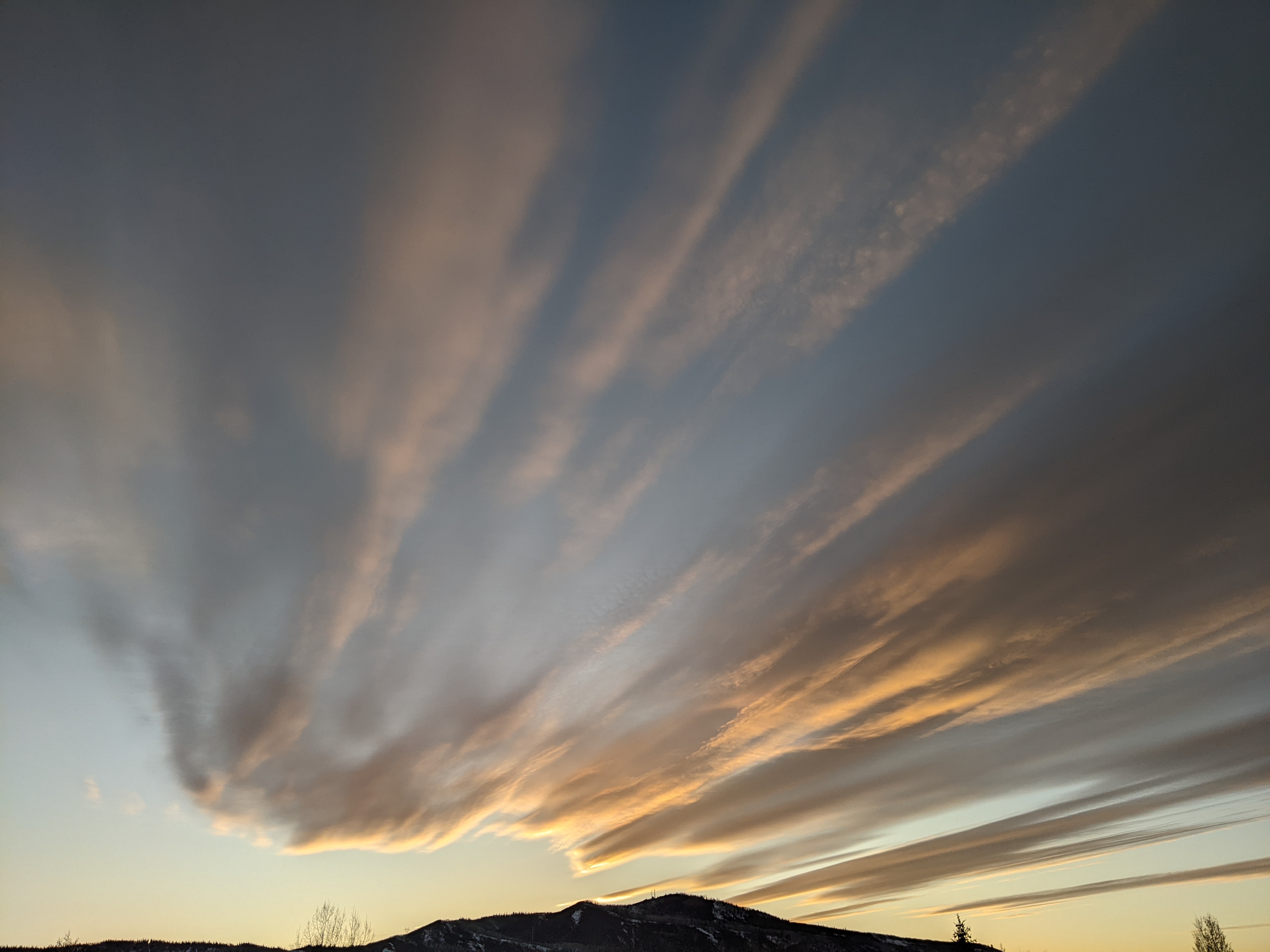
Temperatures are in the mid-eighties early this Thursday afternoon in the Steamboat Springs area as storm clouds begin to build. After another hot day today with the high temperatures once again approaching ninety degrees, a good chance for some rain appears for this evening. And even better chances for rain last from Friday afternoon through Saturday night, and again Monday as a well-established monsoonal moisture plume bringing moisture from the south remains overhead.
A broad ridge of high pressure currently centered over the eastern Colorado border extends northwestward into British Columbia and is sandwiched by deep areas of low pressure over the Gulf of Alaska and the Northeast. The North American Monsoon is likely peaking as moisture originally from the Gulf of Mexico is carried first westward and then northward in the clockwise flow around the high pressure, which means good chances for precipitation for our area in north-central Colorado.
Those chances start late this afternoon and last through the evening as a subtle upper level disturbance, likely the remnant of an eddy that formed to the south of an area of low pressure off the East Coast last weekend, interacts with the moistening air mass over our area. Rainfall could be moderate to heavy at times under the stronger cells, especially between around 8 pm and midnight tonight.
Even better chances for rainfall emerge starting Friday afternoon with showers possibly lasting through the night, again with some producing moderate to heavy rainfall. These higher chances persist through the day and night Saturday, with the most likely short-lived period for drier weather Saturday morning.
So after a hopefully partly soggy Saturday, Sunday should be drier, though still with a chance for afternoon and evening storms, as a wave travels down the east side of the ridge of high pressure over our area and nudges it to the west, briefly dragging some drier air overhead.
But good rainfall chances return for Monday afternoon and evening as some energy ejects out of the Gulf of Alaska storm and nudges the ridge of high pressure back to the east, bringing the monsoonal moisture plume back overhead.
While the weather forecast models agree that at least some of that Gulf of Alaska storm will eject eastward, the timing is uncertain and that may happen Tuesday or Wednesday. This is important for our weather since the flow of monsoonal moisture will be severed by the winds from the west when that happens, so it is unclear if drier weather appears earlier or later in the work week.
Furthermore, this wave of Pacific energy may indicate the end of this monsoon season for our area as the summertime ridge of high pressure grows weaker as the days grow shorter and cooler. In fact, the American GFS is hinting we may see our first fall-like cool front later next week, though the European ECMWF keeps more of that Gulf of Alaska storm off the coast and the ridge of high pressure over the West bruised, but still intact.
Stay tuned to my next regularly scheduled weather narrative on Sunday afternoon when I hope to to review some of the rainfall totals around our area as well as have a better idea on the fate of the ridge of high pressure over the West.
Add comment
Fill out the form below to add your own comments


