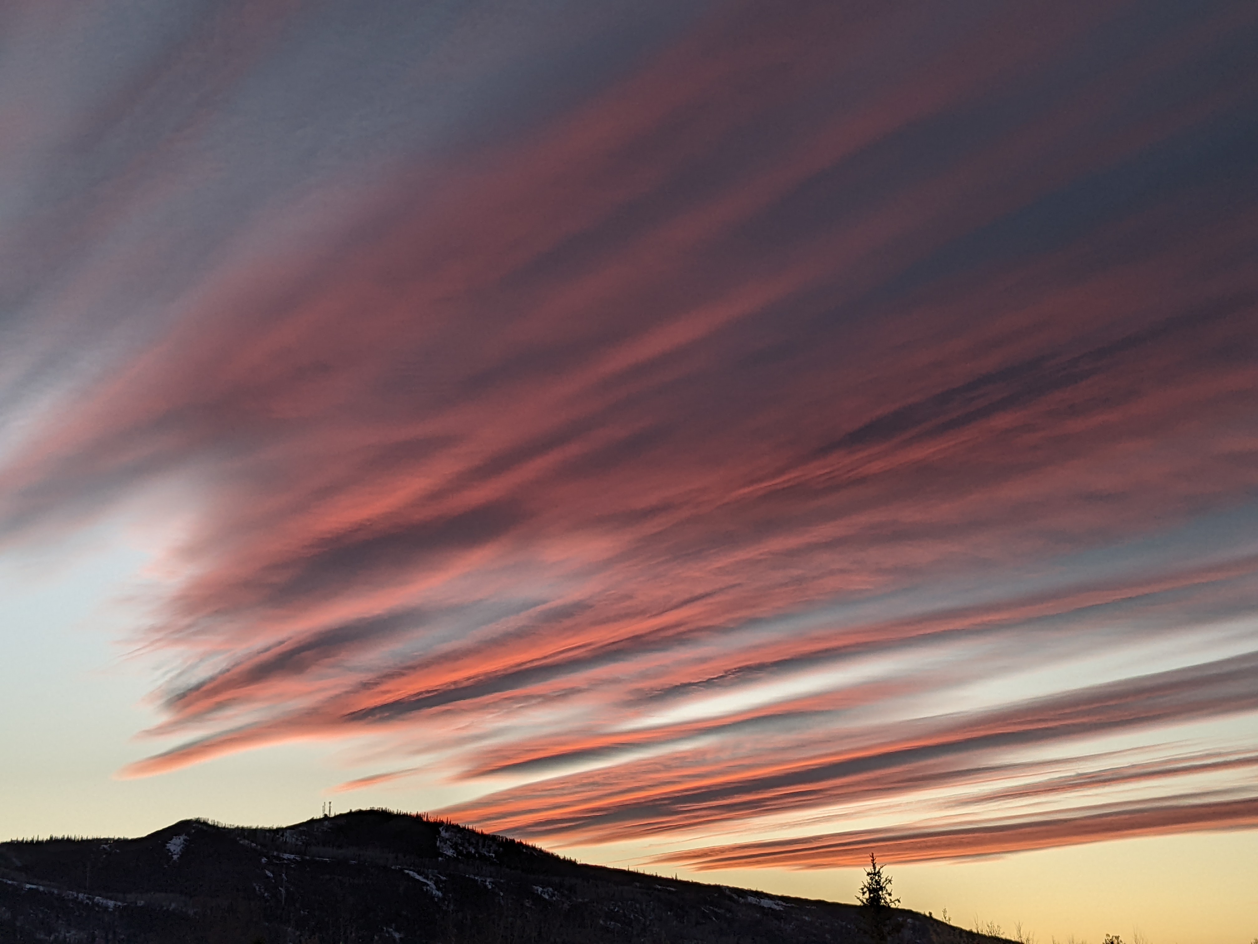
Precipitation chances briefly diminish to start the work week
Sunday, July 25, 2021
Temperatures in the upper seventies and mostly sunny but smokey skies are over the Steamboat Springs area this Sunday noon. While we will see a chance for precipitation this afternoon and evening, those chances become quite slim for Monday and most of Tuesday before increasing again for the rest of the upcoming week. And there is a possibility of heavier and more widespread rainfall heading into next weekend.
As has been usual this summer, there are deep areas of low pressure centered over the Gulf of Alaska and Hudson Bay, with the fast westerly flow between them across the Canadian border suppressing a broad area of high pressure over most of the West. The exception is that persistent eddy discussed a week ago Thursday that has slowly traveled from its original location in the Ohio River Valley ten days ago to its current location over Arizona. Last week there was hope that this would travel northward over our area, but the moisture associated with the eddy has been confined to areas to our south.
We did, however, see some winds associated with the eddy and its interaction with the high pressure from the north and northeast these last few days which transported smoke from wildfires into our area. Interestingly, while the haze was thick, there was no smell of smoke which indicates either the smoke came from far away, likely from fires in British Columbia, or from days-old smoke from the Morgan Creek fire that was dislodged from its usual downstream location relative to the fire, or both.
In any event, the smoke is expected to dissipate later tonight or tomorrow as the ridge of high pressure rebuilds over the West. Some drier air lurking to our northwest is beginning to infiltrate our area, with the chances of showers decreasing substantially on Monday and most of Tuesday as temperatures rise into the upper eighties for the warmest days of the week.
While weather forecast models have our winds turning to be more from the south while moving the plume of monsoonal moisture back over our area by Tuesday night or Wednesday, there is no well-defined trigger to focus precipitation, so we are left with a chance of showers for Wednesday and Thursday, similar to this past week where some areas saw precipitation and some saw none.
The European ECMWF keeps this going through the weekend while the American GFS draws an upper level low pressure area currently near Florida around the high pressure over the West and near or over our area around Friday and the weekend. The American GFS, therefore, is quite a bit wetter, and this signal has been present for the last couple of days. Remember that the American GFS had the right idea first with that eddy currently over Arizona, so there is hope it is also getting the wetter weekend right as well.
But we just won’t know till we get closer. So stay tuned to my next regularly scheduled weather narrative on Thursday afternoon to see if better chances for more widespread rain persist for the coming weekend.


