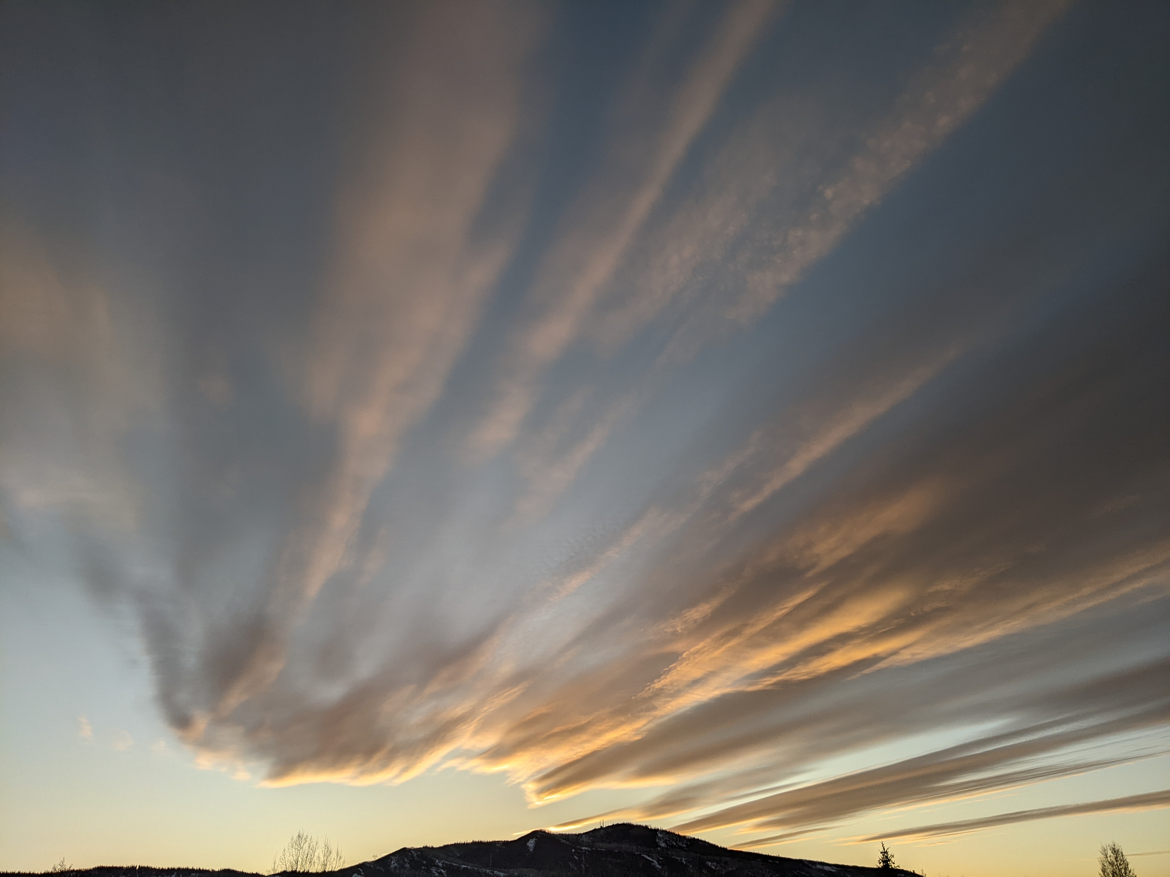
Chances for rain continue during the upcoming week
Thursday, July 22, 2021
The skies have clouded over this Thursday mid-afternoon with the mid-eighties temperatures observed earlier in the afternoon decreasing to the upper seventies in the areas of town lucky enough to see a few drops of rain, like the mountain area. The monsoonal plume of moisture is forecast to remain over our area this week, with chances for precipitation remaining modest through the weekend and the beginning of next week before increasing, perhaps substantially, for the end of the work week.
A ridge of high pressure is currently centered over the Four Corners region and extends into the central Canadian Plains. An eddy, which I first talked about in last week’s weather narrative, is currently in west Texas while a storm from the Gulf of Alaska is located near the northern Alberta - Saskatchewan border. The eddy to our south is forecast to move across the Desert Southwest through the weekend and up the West Coast next week while the Canadian storm is forecast to deepen as it moves toward the Northeast next week.
The monsoonal moisture plume located on the western side of the ridge of high pressure will meander around through the week as the ridge deforms and jiggles around. Furthermore, the moisture content of the plume will vary as weather features pass near it (like that eddy and a possible tropical storm well to the south next week), leading to a somewhat low-confidence forecast in the days where we will see the best moisture over our area, even though each day of the coming week will see some chances for showers.
Right now, modest chances for precipitation, similar to the last few days, will persist into the weekend before decreasing around the start of the work week and then increasing again, perhaps substantially, near the end of the work week. There is uncertainty in the forecast as soon as tomorrow as we will see some winds from the north on Friday as that Canadian storm flattens the ridge of high pressure and allows it rebuild to the west. While it is not clear if some drier air lurking to our northwest will invade the area and decrease shower chances, it does appear we will see some smoke from the Morgan Creek fire infiltrate town, according to the latest NOAA smoke plume model.
While areas to our south are far more likely to see precipitation this weekend, we could see drier weather if we see more of the dry air from the northwest, perhaps with some smoke from the Morgan Creek fire, or wetter weather if the flow from the south and southwest wins out.
Regardless of what happens during the weekend, it appears we will see slim, but not negligible, chances for precipitation to start the work week as the ridge of high pressure amplifies to the northwest and shifts the monsoonal moisture plume to the west. This is short-lived, however, as another Gulf of Alaska storm is forecast to move eastward and push the ridge of high pressure back to the east around midweek.
Not only will this shift the monsoonal moisture plume towards our area, but the plume may be enriched by some sort of tropical storm that injects some moisture into the flow from well to the south, though that is very uncertain as this time. But at least it looks like increasing precipitation chances after the start of the work week, with some storms becoming increasingly likely to produce periods of moderate to heavy rain.
And the American GFS, which produces a sixteen day forecast four times a day, has the wet pattern continuing into the first week of August as increasingly fast flow from the west pushes the ridge of high pressure eastward and keeps the monsoonal moisture plume on the backside of the ridge overhead. Stay tuned to my next regularly scheduled weather narrative on Sunday afternoon where I hope to have a better idea of our precipitation chances for next week.


