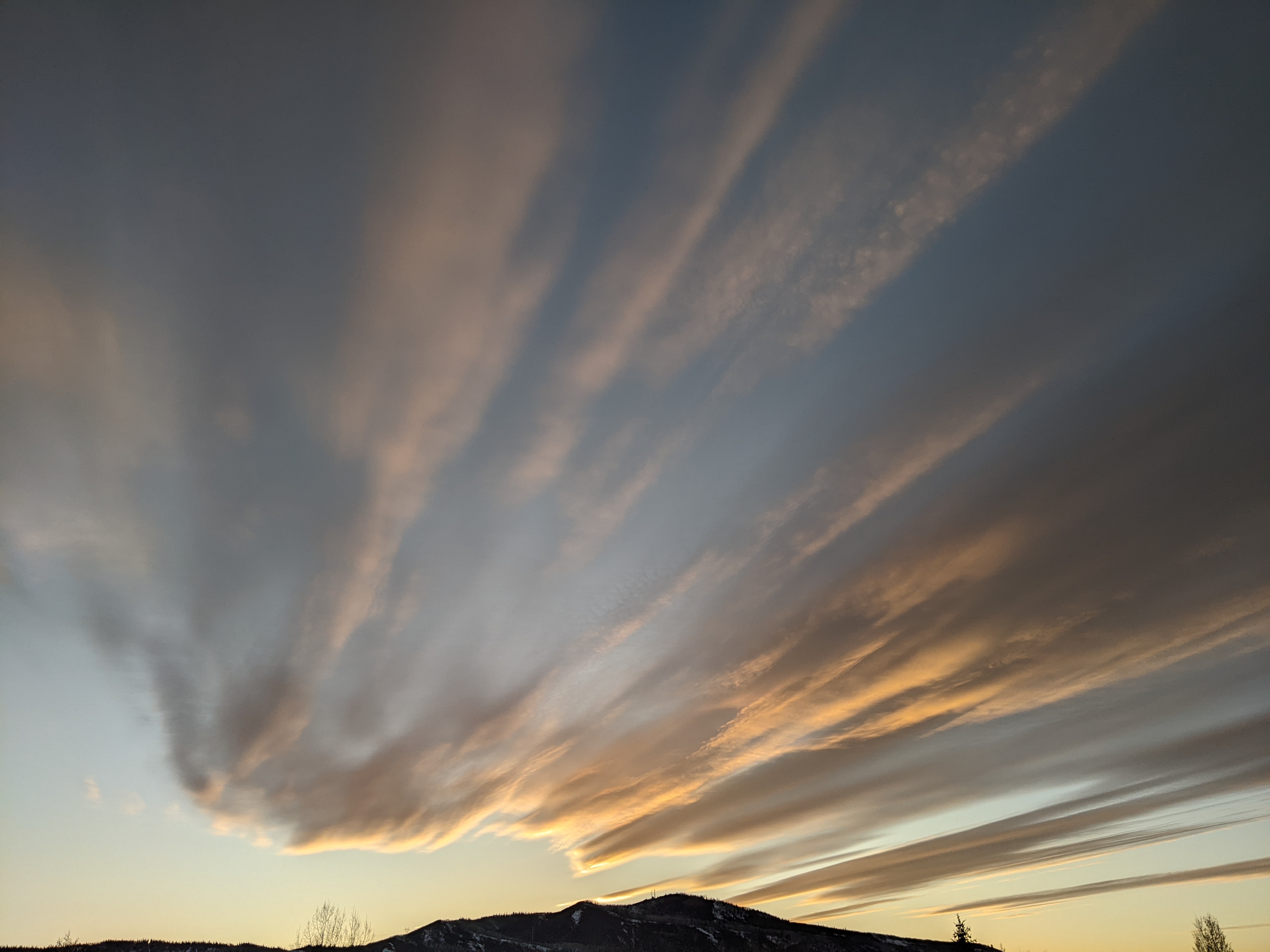
Cooler temperatures for the weekend
Thursday, July 8, 2021
The Steamboat Springs area has seen periods of sun and clouds this Thursday morning with temperatures already in the mid-eighties as of noon. Another hot day is forecast for Friday before a dry cool front brings some relief from the heat for the weekend. While the following week starts hot again, a series of Pacific waves will bring increasing clouds and cooler temperatures with chances of precipitation starting on Tuesday.
A weak and compact storm just off the Washington coast will move across the northern Intermountain region on Friday, about twelve to eighteen hours later than forecast in my last weather narrative on Sunday. While we may see some brief showers today, the later arrival of the cool front means another hot day on Friday with temperatures again around ten degrees above our average of 81 F. Unfortunately, winds will be increasing ahead of the front on Friday, especially in the afternoon, and the dry air ahead of the front means even less of a chance of showers than today.
But relief from the heat arrives on Saturday as the cool front sweeps through our region Friday night. Expect temperatures to fall much closer to average under sunny skies as dry air moves overhead for a very pleasant Saturday. The dry air sticks around for Sunday and Monday with temperatures increasing a few degrees each day.
Meanwhile, a storm churning in the Gulf of Alaska will eject several waves early and late in the work week which are forecast to carry some moisture overhead, as well as encourage moisture from the southwest to move towards our area. While the American GFS is more enthusiastic about the moisture than the European ECMWF, we should at least see some clouds starting on Tuesday that will help hold our temperatures closer to, but likely still above, average.
Shower chances increase for Wednesday through Friday as subtle waves originally ejected from the Gulf of Alaska storm move overhead. Even if we don’t get the showers, at least clouds are a good bet, so expect more of the comfortable temperatures to persist through the work week.
Weather forecast models forecast the ridge of high pressure that had been over the West to reassert itself heading into the weekend and deflect any influences from that Gulf of Alaska storm to the north. This leads to another round of hot and dry weather for the weekend following the cooler and moister work week.
Enjoy what should be a quite comfortable weekend, and I’ll have more details about the unsettled weather for the following work week in my next regularly scheduled weather narrative on Sunday afternoon.


