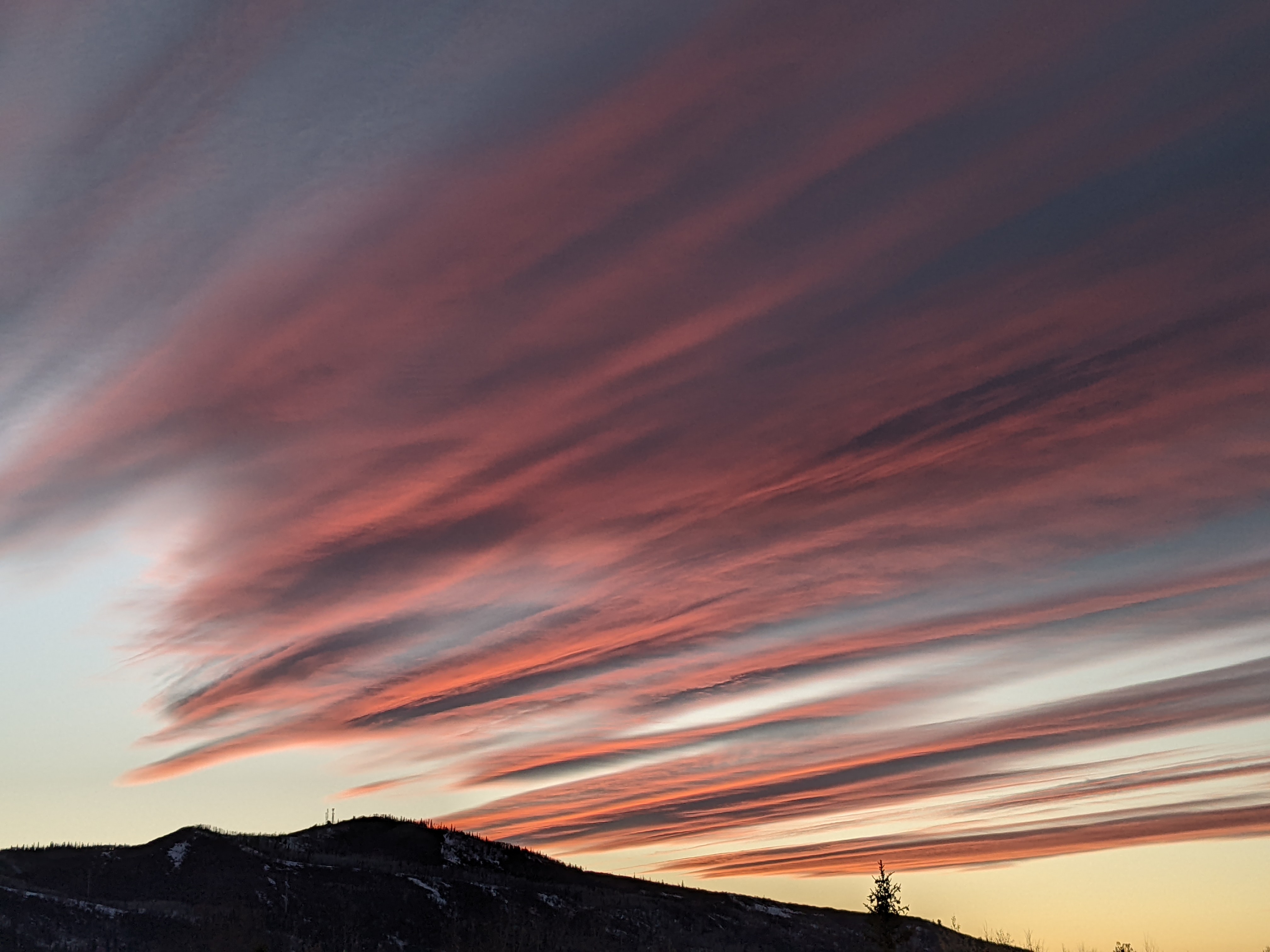
Some showers possible through the weekend
Thursday, May 20, 2021
The Steamboat Springs area is seeing gusty winds from the south and temperatures in the low seventies under a mix of sun and clouds early this Thursday afternoon. Modest chances for precipitation peak around mid-weekend before a dry cool front late in the weekend brings drier and a bit cooler weather for the beginning of the work week.
The weather over the continental U.S. is currently dominated by a powerful winter-like storm centered over the Pacific Northwest and a ridge of high pressure over the eastern third of the country. The remnant of that eddy discussed in the last weather narrative is located over the Gulf Coast and disappointingly brought only between a half and one-and-a-half tenths of an inch of precipitation to our area on Monday.
And we saw no precipitation yesterday as the Pacific Northwest storm is stronger and slower-moving than originally forecast. This has reduced the chance for showers on Friday, though some showers with meager precipitation potential will be around Friday afternoon and evening, along with cooler temperatures than today that should be around our average high of 65 F. We will see more wind from the south, though, as the Pacific Northwest storm draws closer while it moves southward through California.
The moisture from the Gulf of Mexico, also discussed in the last weather narrative, is still forecast to be over our area, but just a day later than originally forecast, as the eastern ridge of high pressure expands to the west and directs that moisture into the southerly flow ahead of the California storm. Weather forecast models have no more than very light precipitation forecast from these showers later Saturday and overnight with high temperatures during the day several degrees above Friday.
A lobe of energy and moisture is forecast to eject out ahead of the California storm on Sunday, and bring a renewed chance of showers and a cool front sometime during the day. Our best chance of precipitation will be ahead of and along the front as dry air from the southwest will overspread our area behind the front, with temperatures five to ten degrees below average behind the front.
The California storm is forecast to rotate and weaken as it moves to our northwest late Sunday and into Montana on Monday. We should see dry weather with a mix of sun and clouds through midweek with temperatures a bit below average on Monday warming to around average on Wednesday.
While weather forecast models agree that another couple of weak storms approach the West Coast starting midweek, they disagree on the evolution and amount of interaction between the storms. So the weather for the following weekend is unclear, but I should have a better idea of what may be in store by my next regularly scheduled weather narrative on Sunday afternoon.


