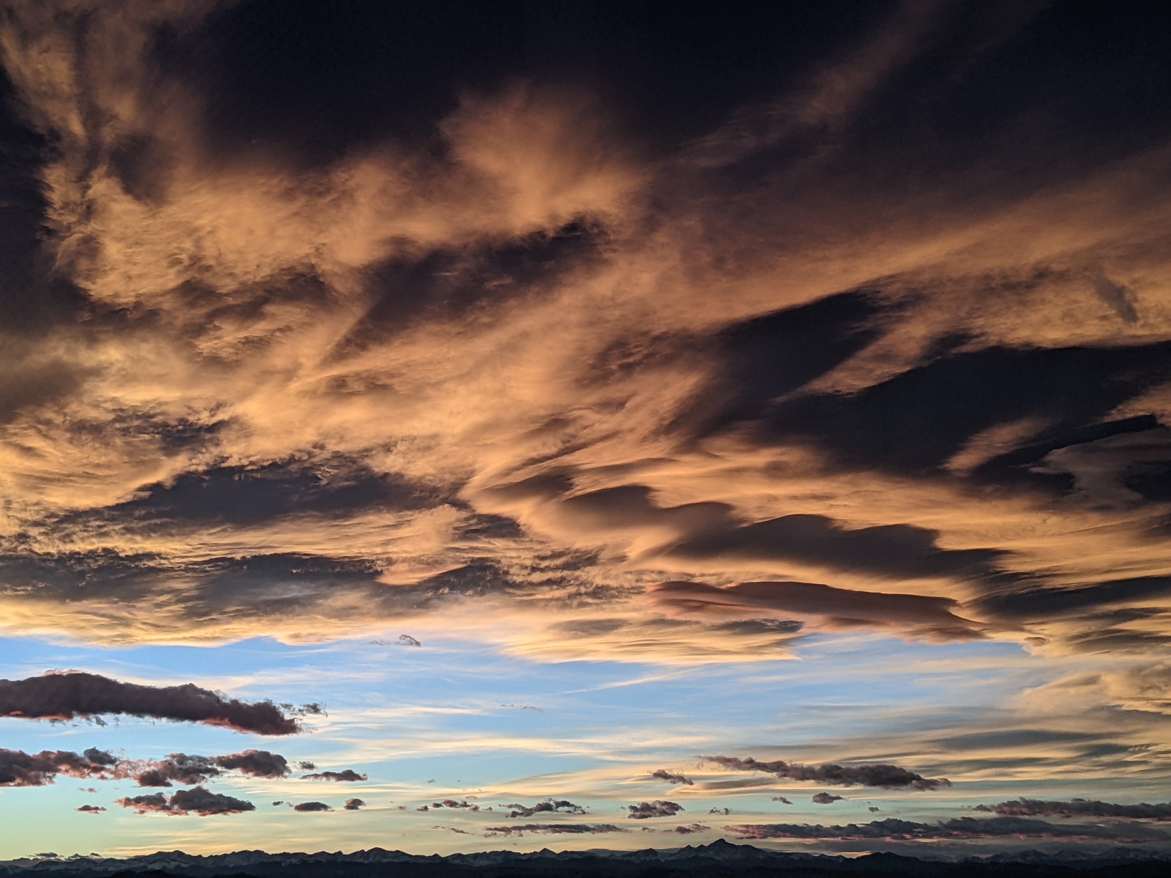
Cold and wet weather to start the work week
Sunday, May 9, 2021
Skies have turned cloudy over the Steamboat Springs area early this Sunday afternoon with a temperature of 49 F at the Bob Adams airport. Temperatures won’t rise too much further today before a storm brings colder and wetter weather for Monday and Tuesday. The weather dries and warms starting midweek with a chance of afternoon and evening showers through the rest of the work week ahead of an even warmer, dry and breezy weekend.
The current weather pattern has evolved quite similarly to the forecast in my last weather narrative, and we are left with a developing storm currently in the Great Basin. While there is some clearing in the northwest corner of the state, that may not get here later today as mid-level clouds in flow from the southwest move overhead. So temperatures today look to stay around ten degrees below our average of 62 F.
Energy ejecting out of the Great Basin storm may bring a small chance of showers tonight, though good chances for precipitation begin on Monday as the storm moves over Utah and ejects moisture and energy over our area. It may be cold enough for snowflakes in town Monday morning with a rain-snow mix or all rain under the showers later in the day, but expect daytime highs only in the forties, fifteen to twenty degrees below average.
Showers look to become heavier in the afternoon, helped first by the warmer afternoon temperatures and then by another surge of cool air associated with the approaching center of the storm, which is expected to cross into Colorado Monday evening and pass overhead by early Tuesday morning.
There could be 1-3” of snow around and above Rabbit Ears pass by Monday night before the storm passes overhead and an additional 1-3” during Tuesday in the favorable and unstable moist northwest flow behind the storm. Again we’ll likely see some snowflakes in town overnight and into Tuesday morning in the showery weather before similar temperatures to Monday turn the precipitation into a rain-snow mix or all rain in the afternoon. Showers could produce locally moderate to heavy precipitation rates at times, along with briefly lowering snow levels.
The weather warms and dries on Wednesday, with temperatures rising into the fifties with the reappearance of the sun and a chance of afternoon showers as a flat ridge of high pressure tries to build over the West. More warming into the sixties is expected on Thursday, with a chance for afternoon and evening showers as a wave passes through the ridge to our north.
Another incoming storm is forecast to approach the West Coast near the end of the work week, though it looks to split and it is not clear how much energy is partitioned between the northern and southern parts of the storm, and whether the southern portion makes landfall. In any event, warming into the seventies is expected for Friday and through most of the weekend ahead of the storm. There may be a chance for showers later Friday before very dry air moves overhead for most of the weekend accompanied by breezy winds from the west and southwest on Saturday and windier weather from the southwest on Sunday.
The timing and evolution of the next storm for the end of the weekend or the beginning of the next work week is very uncertain at this time, so stay tuned to my next regularly scheduled weather narrative on Thursday afternoon for more details on the weather for the end of the weekend.
Add comment
Fill out the form below to add your own comments


