Wet and cool start to the work week
Sunday, May 2, 2021
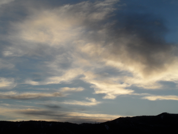
After a spectacular several days with with summer-like temperatures in the mid-seventies, the mercurial spring weather has flipped this Sunday mid-afternoon with rain showers and a temperature of 44 at the Bob Adams airport. While we did briefly enjoy a warm start to the day with a high temperature of 61 F at 1:35 pm, an incoming storm will keep cool and unsettled weather over our area through Wednesday. Warm and dry weather returns for the end of the work week before another storm brings more needed precipitation around or soon after next weekend.
A storm currently stretched from the Great Basin to the Canadian Plains is in the process of splitting, with the southern part of the storm forecast to intensify through Monday as it moves through Colorado. While we saw one cold front pass through early this afternoon with rain showers to about 9500′ in elevation and snow above, another cold front associated with the northern part of the split will pass tonight and lower snow levels further. Additionally, gusty winds from the east will increase overnight and through the morning as moist air is drawn over the Continental Divide and into the storm.
While we will likely see snowflakes down in the Yampa Valley after midnight, snow should be accumulating at pass level and above, and perhaps even briefly on grassy surface in town. There could be 1-4” of snow at and above 9000′ by early morning with another 2-5” that falls during the day, with the highest amounts extending from north of town to the Wyoming border. Travel over Rabbit Ears pass may be difficult at times through this period, especially under the heavier showers.
While precipitation will decrease on Tuesday, or perhaps even end for a time, it is expected to pick back up ahead of another storm passing through later Tuesday and Wednesday. Unlike the first storm, this one will have less moisture but will move past our area in pieces in favorable northwest flow. Most of the snow should fall from Tuesday evening into the night, but showers will continue through the day Wednesday and into the evening. Another 2-5” is possible at and above 9000′ before skies are forecast to clear by Thursday morning and bring warming temperatures back into the sixties for Thursday and possibly seventies by Friday.
Another storm is forecast to cross the Pacific Northwest coast late in the work week before settling into the Great Basin during the weekend while mixing with more cold air from the Canadian Plains. This complex and difficult to forecast storm may bring some cooler weather and showers into our area on Saturday before precipitation starts in earnest as soon as Sunday. And precipitation may continue into the following work week as that storm evolves in the Great Basin. Stay tuned to my next regularly scheduled weather narrative on Thursday afternoon for more details on the weather for next weekend and how wet the following work week may be.


