Cold and wet weather returns after several gorgeous days
Thursday, April 29, 2021
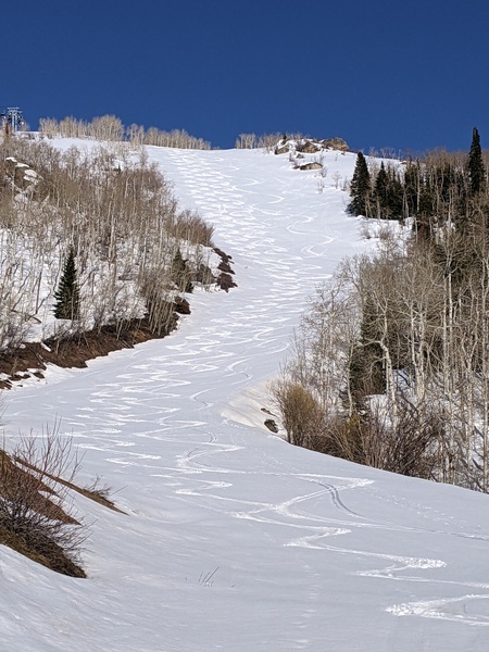
Bluebird skies, calm winds and a temperature of 61 F have brought an almost summery feel to the Steamboat Springs area early this Thursday afternoon. This stretch of gorgeous weather lasts into the weekend before we see a change by Sunday to a wet and cool pattern that lasts through midweek.
A ridge of high pressure is currently sitting over the West between a storm in the Gulf of Alaska and a vortex of cold air centered over Hudson Bay. We’ll see high temperatures in the sixties today, five to ten degrees above our average high of 58 F, before temperatures warm into the seventies for Friday and Saturday.
Meanwhile, an eastward-moving and strong storm off the Aleutian Islands is forecast to push the Gulf of Alaska storm eastward as well, with the storm forecast to cross the West Coast on Saturday. Clouds should increase along with some breezes from the west by the afternoon with light rain showers possible by later Saturday and overnight.
The storm is forecast to move through the Great Basin on Sunday and strengthen thanks to a reinforcing chunk of cold air originally from that Hudson Bay vortex. Temperatures will cool toward around average on Sunday along with continued chances for some light morning rain showers followed by increasing chances of heavier showers and steadier rain as the day progresses.
The storm is forecast to undergo a modest split Sunday night which introduces some uncertainty into the weather forecast, but right now a cold front will pass through sometime later Sunday, leading to snow showers at the higher elevations and a rain or rain-snow mix at the lower elevations that will continue through the overnight and Monday and into Tuesday morning.
Travel over Rabbit Ears pass will likely be difficult at times from Sunday night through Tuesday morning, and there may even be some accumulating snowfall in the Yampa Valley by Tuesday morning. The beneficial moisture that eventually falls is sorely needed, and adding to the high elevation snowpack in May is always welcome.
Part of that Aleutian storm is forecast to cross the Pacific Northwest on Monday even as cold air from the North Pole reinvigorates most of the remaining storm over the island chain. There may be a break in the weather over our area during part of Tuesday, or not, as precipitation is forecast to increase again later Tuesday and overnight as the Pacific Northwest storm moves overhead.
The second part of the storm cycle is still evolving in the weather forecast models, so expect changes when I publish my next regularly scheduled weather narrative on Sunday afternoon. It does appear a ridge of high pressure moves overhead by the end of the work week for at least a brief return to warm and dry weather, though the following weekend may see the effects from that Aleutian storm which is forecast to move into the Gulf of Alaska by midweek and toward the Pacific Northwest coast by the end of the work week.
Add comment
Fill out the form below to add your own comments


