Cool and unsettled weather for the week ahead
Sunday, April 11, 2021
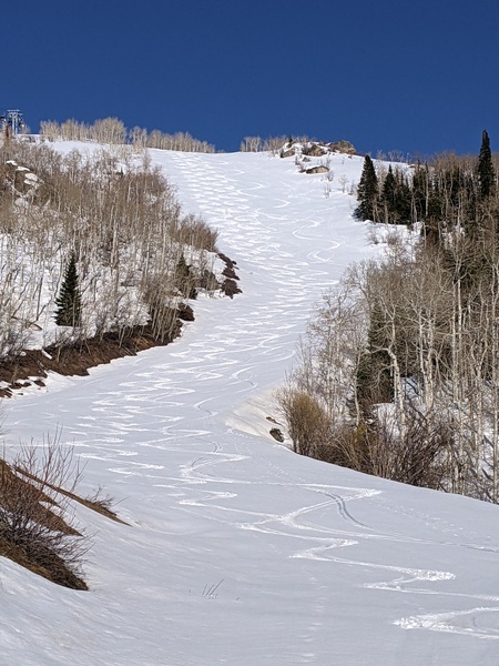
The Steamboat Springs area is currently seeing sunny skies and temperatures of 47 F in town and 28 F near the top of Mt. Werner on this Sunday noon. The cooler temperatures today as compared to yesterday will recover on Monday before a cooler and unsettled stretch of weather begins Tuesday and lasts through at least the work week. Expect periods of rain showers or a rain-snow mix at lower elevations and accumulating snow at higher elevations.
A grazing storm to our north that brought cooler air across northern Colorado will move eastward today as cold air sourced from the North Pole pours into the Pacific Northwest on the backside of the storm today and tomorrow. This forms an eddy that will meander around the Great Basin through the work week before it is forecast to shear apart as it moves eastward over our area near the end of the work week.
The evolution of these eddies are notoriously difficult to predict as they are cut off from the stronger forcing associated with the jet stream. Nonetheless, weather forecast models are converging on several periods of precipitation during the upcoming week as waves of energy and moisture move overhead.
So after a cooler and still-breezy day today, with high temperatures five or so degrees below our average of 51 F, we should see continued sunny skies, less wind and temperatures around five degrees above average on Monday.
Clouds should increase later Monday for a cloudy and cool Tuesday as a piece of energy is forecast to eject out of the eddy in the western Great Basin and move over our area Tuesday night. We could see some rain showers or a rain-snow mix at the lower elevations later Tuesday and overnight, with 3-6” of snow possible at the higher elevations by Wednesday morning.
Precipitation looks to decrease on Wednesday, though it is not clear if it just diminishes or ends. The uncertainty lies in the eventual shape of the wobbling eddy and whether we see enough southerly flow over our area to warm and dry the atmosphere.
It does appear there will be at least another, and possibly more, waves of precipitation as the Great Basin eddy evolves in a wobbly fashion through the work week and eventually moves through our area. There has not been much consistency either between or within iterations of the weather forecast models, so the timing of and even existence of these waves is just too uncertain to pinpoint at this time. Cool and unsettled weather is likely to continue through the work week, and possibly through the following weekend as the eddy reluctantly moves overhead.
Enjoy the sunny Closing Day at the Steamboat Ski Resort today, and stay tuned to my next regularly scheduled weather narrative on Thursday afternoon where I’ll have more details on the evolution of that Great Basin eddy.
Add comment
Fill out the form below to add your own comments


