Warming temperatures and dry until possible storm for the end of the work week
Sunday, February 28, 2021
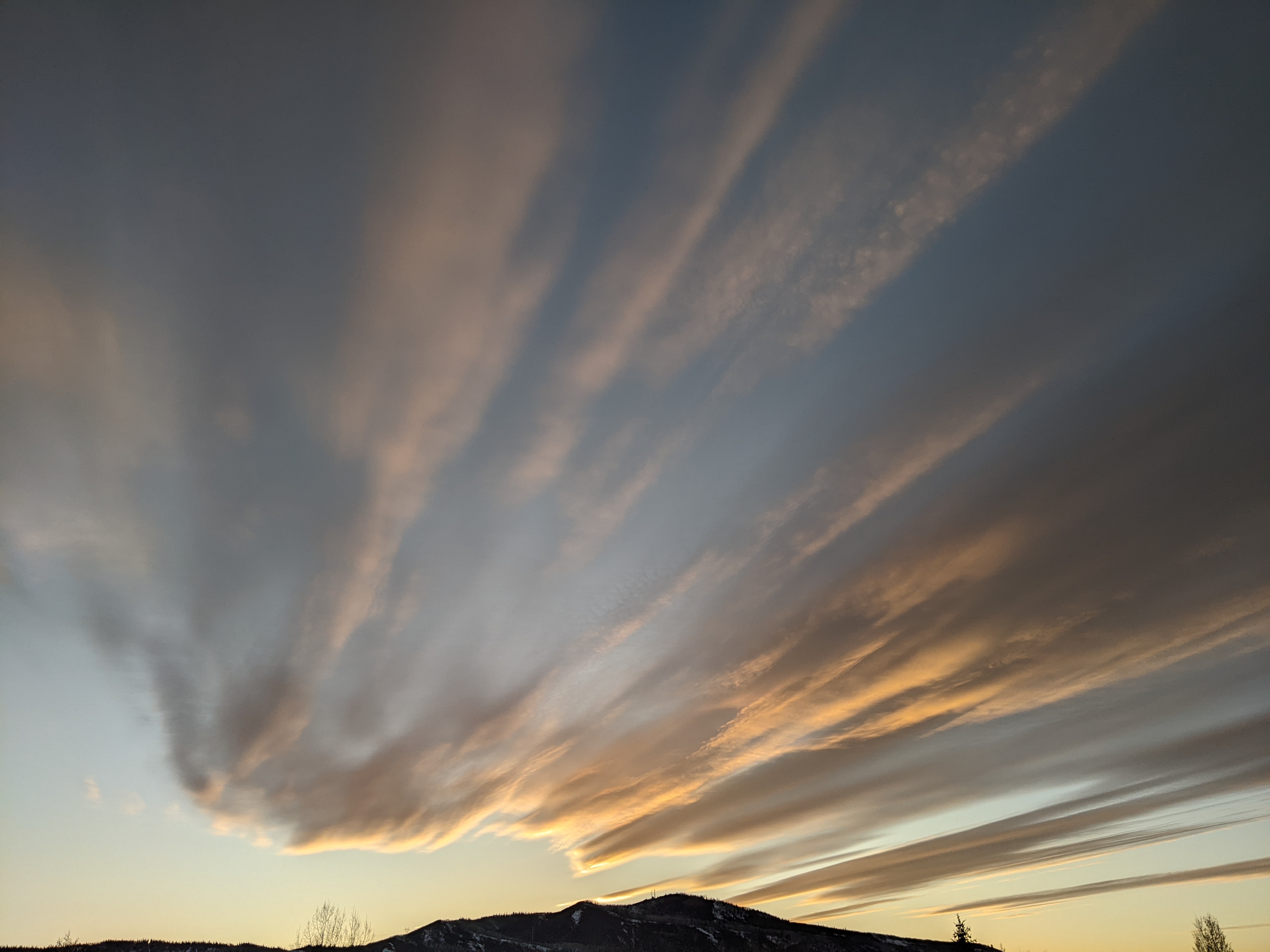
Snow showers on this cold Sunday morning have given way to patches of blue sky by noon in Steamboat Springs. Skies will continue to clear through the day as dry weather invades our area and lasts through most of the work week. While Monday and Tuesday mornings will start cold, afternoon temperatures will dramatically rise ahead of a possible warm and moist storm that may be near our area near the end of the work week, though precipitation will likely be minimal at best.
We are closing out a snowy and cold February with 9” of snowfall reported at both mid-mountain and the top of the Steamboat Ski Area this morning, almost all of which fell between 7 am and 9 am Saturday morning. The forecast from Thursday called for sometimes heavy snowfall after midnight on Friday, though the heaviest snowfall ended up falling just after report time as a storm cell produced 3.5”/hour snowfall rates for 2 hours! This reminds me of the much larger and very localized President’s Day storm in 2012 where a record-breaking 27” accumulated at mid-mountain during a 24-hour period thanks to two separate storm cells overnight that each produced 6”/hour snowfall rates for two hours!
Currently, we are in the grips of the arctic air mass behind the departing storm, though temperatures at the top of Mt. Werner have already warmed to 10 F, substantially above the high temperature of 3.5 F yesterday afternoon. We’ll stay about ten degrees below our average of 36 F in town today before a ridge of high pressure ahead of a storm currently just off the West Coast moves overhead for sunny skies and dramatically warming afternoon temperatures during most of the work week. However, expect chilly mornings for a couple of days as the new snow, clearing skies and light winds allow temperatures to plummet to well-below zero tonight and closer to zero tomorrow night.
Plenty of sunshine will allow afternoon temperatures to recover to near average on Monday and five to ten degrees above average for Tuesday through Thursday as the weather begins to feel springlike.
Concurrently, that storm off the West Coast is forecast to split tomorrow with the northern part racing across the northern Rockies and the southern part forming an eddy that vacations off the northern Baja coast for a few days before eventually being forced eastward across the Desert Southwest on Thursday by another incoming Pacific storm. Eventually by later Thursday, that warm eddy may be close enough to our area to bring increasing clouds and a chance of precipitation, though currently it looks like the bulk of the storm will stay south of our area.
The warming is forecast to resume for later Friday and Saturday as the next ridge of high pressure moves overhead, with temperatures approaching the fifty degree mark under sunny skies. There is a fair bit of weather forecast model disagreement for later in the weekend as the European ECMWF splits that next Pacific storm and brings the southern piece across our area while the American GFS has the storm deflected to our north by a more resilient ridge of high pressure.
Enjoy the upcoming springlike weather, and I’ll discuss the possible Thursday storm as well as the weather for next weekend in my next regularly scheduled weather narrative on Thursday afternoon.
Add comment
Fill out the form below to add your own comments


