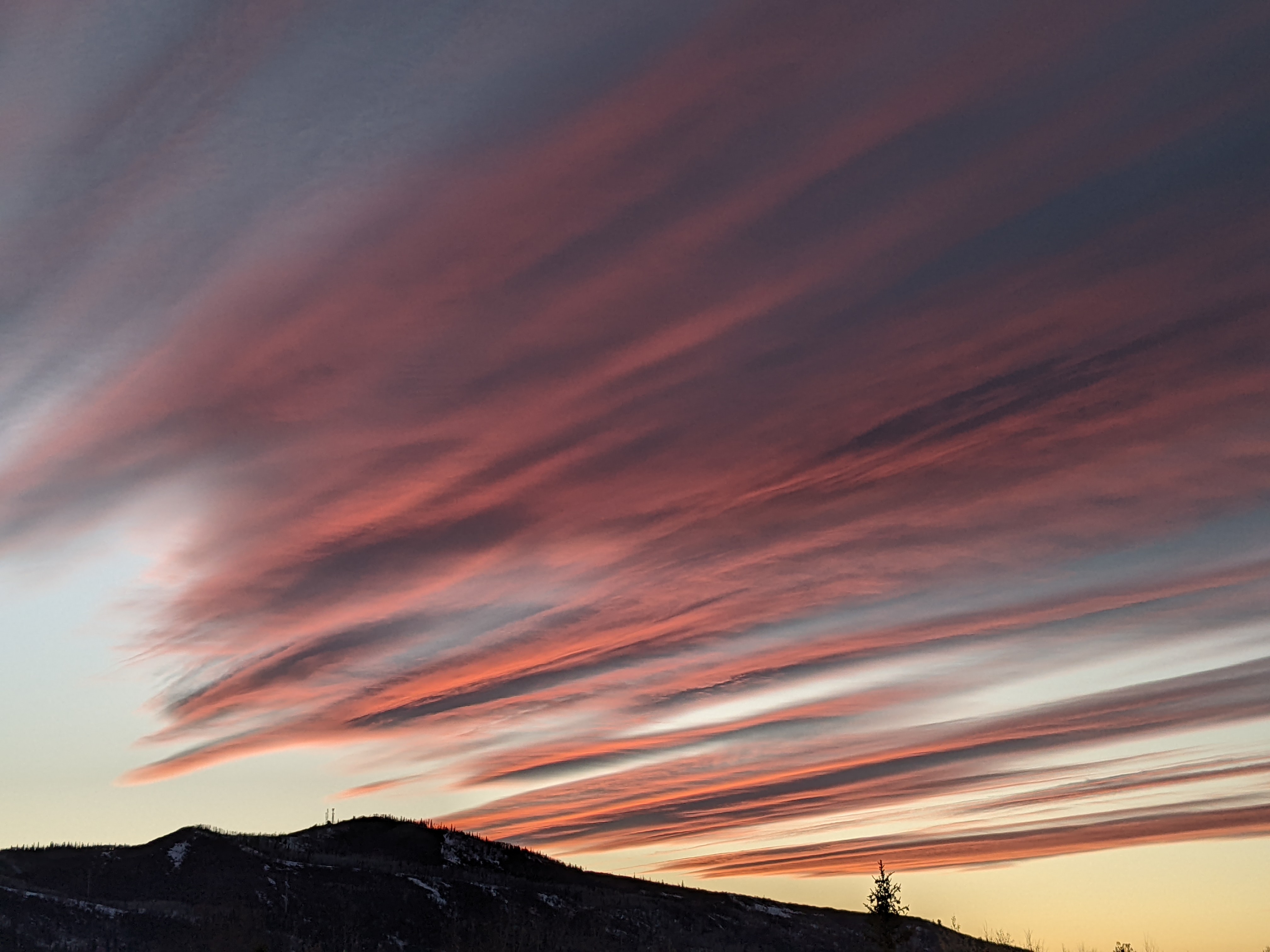
Snow chances on the horizon after a dry start to the week
Sunday, January 10, 2021
A sunny but cool afternoon is over the Steamboat Springs area this Sunday behind a dusting of snow that fell early this morning. The work week will start with cool mornings and sunny days before clouds increase by midweek ahead of a grazing storm on Thursday. Another storm of uncertain strength follows for the weekend.
The storm that crossed the Great Basin on Saturday moved so far to our south that we were not able to muster even clouds on Saturday, despite having the cooler air associated with the storm overhead. So I was surprised early this morning to see some brief and light snowfall, evidently caused by the tail end of a dry wave currently over the Great Lakes brushing our area.
But that is the last precipitation we will see until Thursday as a flat ridge of high pressure moves over the Rockies on Monday and Tuesday. Expect cold morning temperatures thanks to temperature inversions with sunny days and modestly warming temperatures as the ridge moves overhead.
Most of a storm currently off the Aleutian Islands is forecast to move eastward as a sharp ridge of high pressure builds behind it from the Gulf of Alaska to the West Coast. The Aleutian storm will slide down the east side of the ridge of high pressure and graze our area on Thursday, and as noted in the last weather narrative, the storm is now trending more promising for our area. Based on the latest iteration of the weather forecast models, we could see increasing clouds on Wednesday and 1-4” of snow during the day Thursday before the quick-moving storm moves east of our area during the evening.
Another Pacific storm mixes with what is left of the Aleutian storm and attacks the building ridge of high pressure, with weather forecast models disagreeing on how much of the storm passes over the ridge and how much passes through it. The European ECMWF advertises much less snow for our area as the storm is split by the ridge, while the American GFS has a snowier solution with a more coherent storm.
Though weather models disagree on the weekend storm, they do agree that more storminess is likely after the weekend. The key for our weather will be the evolution of that ridge of high pressure around the West Coast, with its modification perhaps allowing an active storm track to penetrate inland and move over our area.
Be sure to catch my next regularly scheduled weather narrative on Thursday afternoon for a discussion of the storms for that day and the weekend, and a peek at the longer term weather pattern setting up for the second half of January.
Add comment
Fill out the form below to add your own comments


