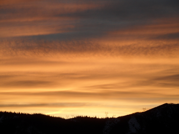
Storms to our north and south
Thursday, January 7, 2021
Mostly sunny skies are over the Steamboat Springs area this Thursday noon, with a current temperature of 18 F at the Bob Adams airport on its way to just above our average of 27 F under continued sunny skies. A storm to our north will increase clouds tonight into Friday morning, though any light snow will be confined to the Continental Divide closer to the Wyoming border. Another storm will pass to our south on Saturday, though this one looks close enough for some light snow during the day. But our area looks to remain dry after that with some grazing storms possible by around the following weekend.
The storm yesterday was more productive than I thought on the Sunday weather forecast, specifically on the backside of the storm where we received an additional 4” at mid-mountain and 6” up top, bringing our storm totals to 9” at mid-mountain and 13” up top. In hindsight, we should not be surprised as we are favored for precipitation in the moist, cool and unstable northwest flow behind storms.
A relatively dry storm currently centered in Idaho will graze our area to the north tonight and tomorrow morning, likely bringing only clouds and keeping any light snowfall confined to the higher elevations nearer the Wyoming border.
A transient ridge of high pressure quickly moves overhead later Friday for clearing skies ahead of a quick moving storm forecast to cross the Great Basin Friday night. Weather forecast models have trended towards a storm moving to our south, though it looks like we will be close enough for some light snow showers on Saturday leaving as much as an inch or two of snow.
Another more substantial and longer-lasting ridge of high pressure is forecast to build over the West for the work week and keep our weather quiet. Waves of energy and moisture traveling over the ridge of high pressure are forecast to mix with some very cold air over central and eastern Canada, with weather forecast models wavering on the strength of the ridge and the western extent of the storminess.
Models have recently trended toward less weather for our area, but there is time for a stormier solution to emerge. Right now, a wave may graze our area with some cool air near the end of the work week, though precipitation looks to remain to our north. Additional waves look to affect our area for the following weekend and into the next work week, with increasing chances for light snow.
A stronger ridge of high pressure will divert the storm track further away from our area, while a weaker ridge of high pressure, perhaps as a result of stronger incoming Pacific energy, will allow for a storm track nearer to our area. Stay tuned to my next regularly scheduled weather narrative on Sunday afternoon when I should have a better idea of how this ridge of high pressure evolves.


