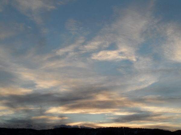
Snow chances last through the weekend
Thursday, December 17, 2020
Even though the Steamboat Springs area saw a beautiful sunny morning, skies have clouded over late this Thursday afternoon in advance of our next storm for tonight and Friday. Light snow chances will linger through the weekend before we see a break early in the work week as the sun returns. However, a cold arctic air mass is forecast to enter our area later Tuesday along with some light snow, and though the snow is forecast to end early Wednesday, the cold air sticks around for Christmas Eve Day.
A storm currently moving through the Great Basin will begin light snowfall over our area this evening, with snowfall rates becoming heavier after midnight when the cool front passes through and turns our winds to be from the favorable northwest direction. Unfortunately, the storm will split and undergo some shearing, which will temper our accumulations. Still, I would expect 3-6” on the mid-mountain ski report before the snowfall tapers off in the morning hours. However, snow showers, some briefly moderate to heavy, will pick up in the afternoon in the cool, moist and unstable northwest flow, leaving another 1-4” by sunset.
Behind the storm, a flat ridge of high pressure builds over the West Coast, with weak waves of energy and moisture riding over the top of the ridge and passing near our area. Light snow showers should form in the breezy winds from the northwest on Saturday afternoon and evening, with another round of snow showers currently forecast for Sunday and Sunday night. While the accumulations from the Saturday disturbance will be meager, there is a better chance for some accumulating snowfall from the Sunday disturbance, though amounts would be modest and likely in the 1-4” range by the Monday morning report.
The sun looks to return for Monday and part of Tuesday before a another Pacific wave crosses the Pacific Northwest coast Monday night and mixes with some very cold arctic air originally from northern Canada. Current timing puts a very noticeable cold front through our area in north-central Colorado by around Tuesday afternoon, accompanied with some light snow that will persist into Wednesday morning.
The coldest air will be shunted to our east by a building ridge of high pressure over the West, but Wednesday will be cold, and possibly Thursday too if a dry cold front trails the main system. There is some weather forecast model agreement that the ridge of high pressure moves over our area starting Christmas Day bringing warming temperatures, especially at the higher elevations and sunny skies.
Though weather forecast models agree on another storm after Christmas, they disagree on the timing, with the European ECMWF bringing some light snow to our area early in the weekend and the American GFS holding off until later in the weekend. I’ll have some more details about the midweek storm and how cold it may be in my next regularly scheduled weather narrative on Sunday afternoon.


