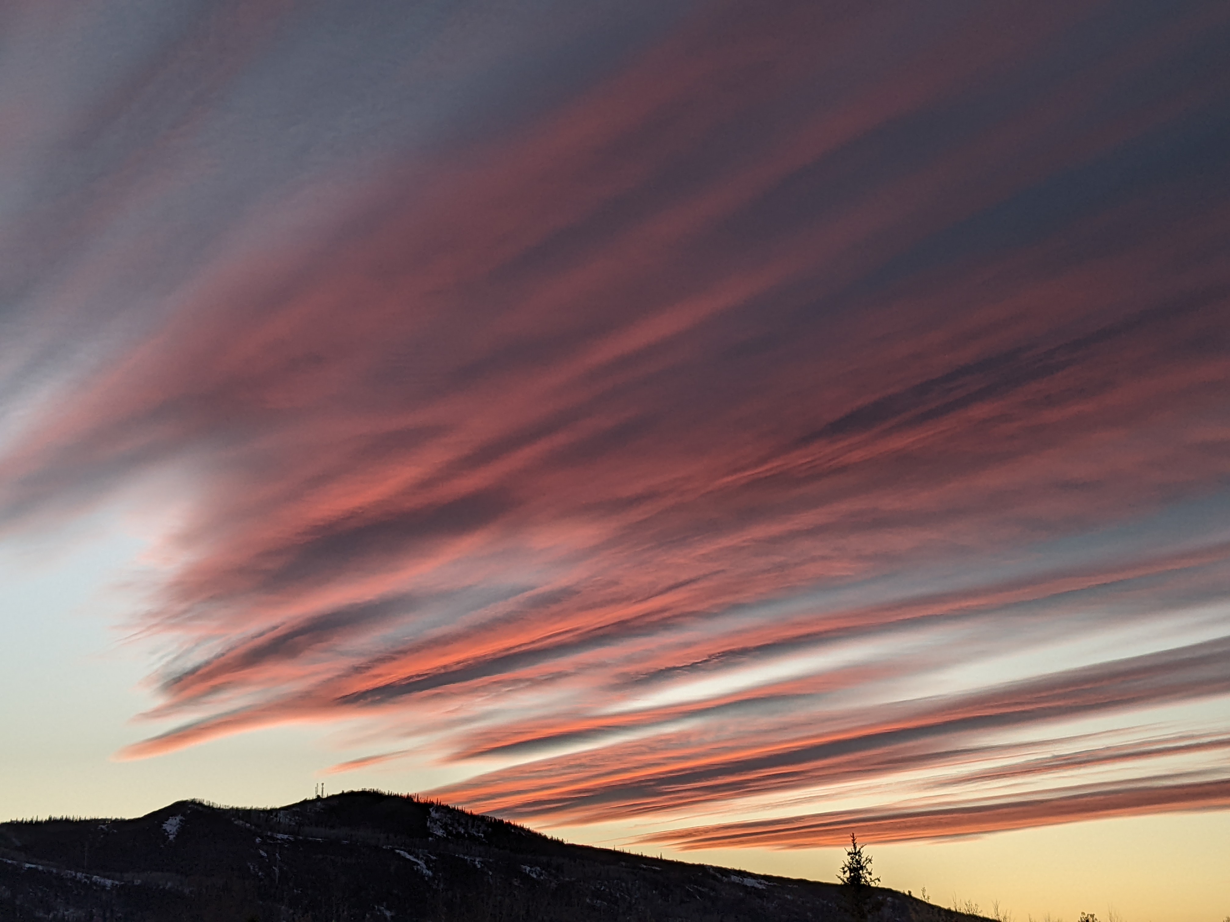
Sunny Sunday ahead of our next storm Monday
Sunday, December 13, 2020
The skies have cleared behind the storm on Saturday in Steamboat Springs, with cold temperatures in the single digits both in town and at the top of the Steamboat Ski Area as of 11 am this Sunday morning. Though temperatures will warm under sunny skies for most of the day, they will stay cold and five to ten degrees below our in-town average of 28 F. Clouds will increase ahead of our next storm timed to begin by Monday afternoon, with another significant storm forecast for the end of the work week.
7” was reported on the Steamboat ski report this morning, with 11” observed on the Steamboat Powdercam at the top of Sunshine Peak. Of those 11”, 4” fell between 4:10 pm and 4:40 pm Saturday afternoon as a storm cell passed overhead, which is an 8” per hour snowfall rate! The snow that fell was comprised of planar dendrites, which are the familiar two dimensional branch-shaped snow crystals. Conversely, when the branches spread out in all three dimensions, they are referred to as spatial dendrites, and both crystal types can lead to rapidly accumulating snowfall. So we had that elusive combination of heavy snowfall rates comprised of fluffy, low-density snowfall; exactly the type of snow Steamboat is famous for.
Our next storm has crossed the northern West Coast with precipitation already occurring in Nevada. Clouds will increase as the storm moves to the southeast, with generally light snowfall rates expected over our area from Monday into Tuesday. This will be another cold system, though we will likely see warmer overnight low temperatures than last night as the clouds will act like a blanket to insulate the surface of the earth. I would expect 3-6” by the Tuesday morning report with another inch or two falling Tuesday morning before the snowfall becomes more showery in the afternoon and tapers off by sunset.
Though a transient ridge of high pressure is forecast over our area early on Thursday, ripples of moisture and energy will move down the east side of the approaching ridge on Wednesday, possibly leading to some light snowfall that would leave minimal accumulations.
Any sunshine on Thursday will be short-lived as a significant storm crosses the northern West Coast Wednesday night and moves over our area on Friday. Clouds should increase by Thursday afternoon with snowfall commencing soon after that and lasting through the day Friday before tapering off Friday night. There is uncertainty with respect to the evolution of the storm, with the European ECMWF keeping the storm stronger and more consolidated than its American GFS counterpart. Let’s see how this storm develops in the weather forecast models over the work week and I’ll have a snowfall guess by my next regularly scheduled weather narrative on Thursday afternoon.
At this point, longer range weather forecast models have a break in our active weather pattern through the weekend and into the following work week, though we will remain close enough to the jet stream and resultant storm track so there will likely be periods of sun and clouds. There is agreement among these models that some sort of significant storm will be around by midweek as we head into the Christmas holiday.


