Some snow and cold for Opening Day
Sunday, November 29, 2020
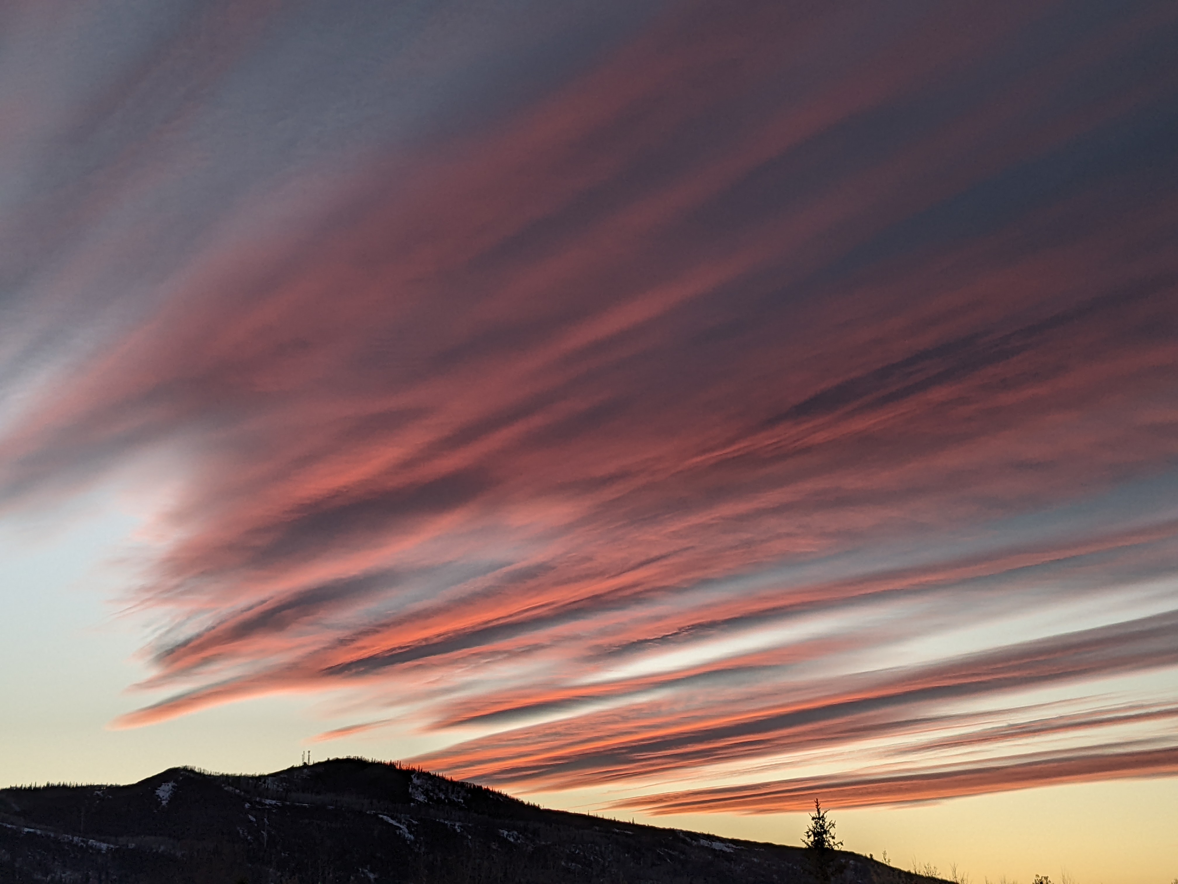
Bluebird skies and temperatures in the upper thirties are over the Steamboat Springs area this Sunday afternoon. After another day like today on Monday, a storm will cross the Pacific Northwest coast Monday morning and affect our area starting Tuesday with low intensity snowfall and colder temperatures. The cold will hang around for Wednesday, along with some likely non-accumulating afternoon showers, and most of Thursday before we see warming and drying heading into and through the weekend.
Lift-served skiing is back in Steamboat Springs this weekend as the local Howelsen Hill, which is the the oldest operating ski area in North America, opened on Saturday and offered free skiing on Sunday. Opening weekend was graced by warm days and brilliant blue skies, with more of the same weather forecast for Monday. The Steamboat Ski Area will open on Tuesday with the opposite weather as an incoming storm is forecast to bring cooler temperatures and some light snowfall.
That storm is forecast to cross the Pacific Northwest coast early Monday before splitting as it first travels across the northern Rockies and then over our area by Tuesday. Splitting storms are always a forecast challenge due to the uncertainty of how the energy is partitioned between the two branches of the storm, and the storm for Opening Day is no different.
Even at this close range, the weather forecast models disagree on how strong the southern part of the split storm will be and whether it passes over our area or drifts to our west. Of course, we’ll see the most snow if the storm passes overhead, but even then the storm lacks much moisture and only an inch or two are expected at the lower elevations with twice that much possible up high. A stronger split storm traveling further west would further decrease even those meager accumulations.
Regardless, it looks like cooler temperatures will be in store for Tuesday, Wednesday and possibly Thursday as the northern branch of the split storm eventually passes close enough to keep the cold air around. There may be some light snow showers that accompanies the northern branch when it moves by later Wednesday, but again accumulations, if they occur, would be meager.
We’ll start cold Thursday morning, and whether we stay cold through the day will be determined by the evolution of this complicated storm. By Friday, it appears all of the forecast uncertainty will be for areas to our west, south and east as an amplifying ridge of high pressure moves overhead and brings dry air and warming temperatures.
This gorgeous weather is expected to continue through next weekend and into the beginning of the next work week. For those anxious for more winter weather, longer-range weather forecast models have been indicating some sort of storm and a pattern change starting around the following weekend. I should have a better idea about this possible return of winter weather by my next regularly scheduled weather narrative on Thursday afternoon.


