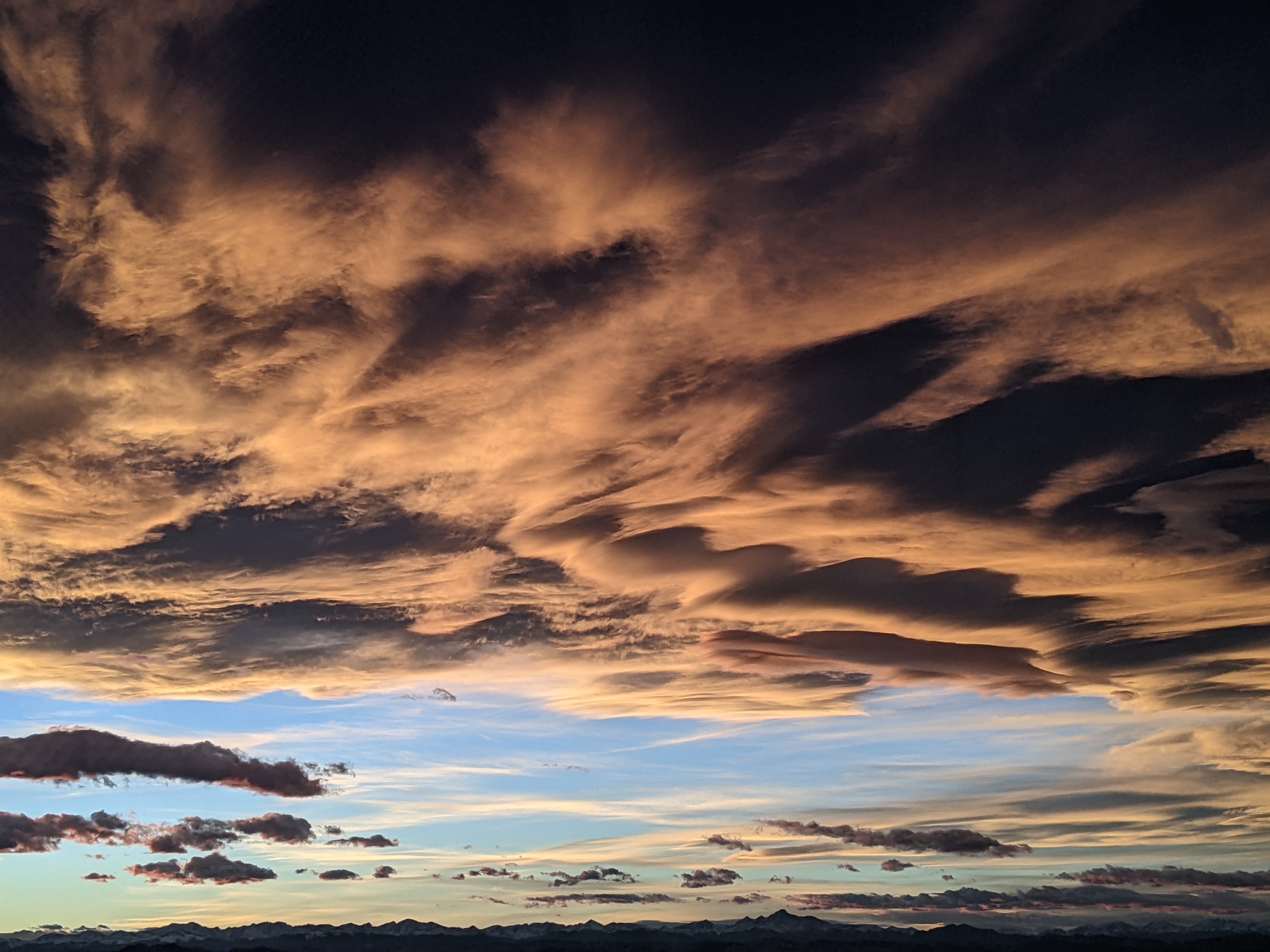
Moderate storm later Monday with some Thanksgiving snowflakes possible
Sunday, November 22, 2020
After a chilly start this Sunday morning, the Steamboat Springs area is seeing temperatures in the low forties under sunny skies. Clouds will be increasing later today ahead of a moderate storm that starts Monday afternoon, with the heaviest snowfall expected overnight. Skies will clear later Tuesday with Wednesday being an in-between day before some light snow is possible on Thanksgiving.
A storm currently crossing the West Coast will be over our area Monday night, with clouds increasing ahead of the storm later today. Some energy ejecting out of the storm may bring a shower or two overnight and tomorrow morning before a bit of accumulating snow is forecast by sunset as some cool air filters in. The main part of the storm is expected to pass through our area overnight, with the bulk of the snowfall occurring between midnight and early Tuesday morning before tapering off by around noon.
There is some splitting indicated in the weather forecast models as the storm crosses Colorado, but enough of the storm may pass overhead for 4-8” to accumulate above mid-mountain and about half that in town. Snowfall rates may exceed an inch per hour at times, though winds will pick up well behind the storm so travel may only be moderately difficult at times.
Precipitation should end after noon on Tuesday with some sun appearing for later Tuesday and Wednesday. But another storm, currently over the Bering Sea, is forecast to intensify and quickly move across the Gulf of Alaska on Tuesday and across our area on Thanksgiving Day. In my last Thursday weather narrative, I suggested that a dry forecast for Thanksgiving might change as our weather could eventually be some sort of wetter comprise between storms to our south and north. And indeed, it now it appears that some sort of stretched storm will pass overhead with some light snow possible from Thanksgiving afternoon through Friday morning. At this point, accumulations would be minor at best, but we’ll see where we stand when I publish my next weather narrative, which I may move up to Wednesday or leave to my usual time slot on Thursday afternoon.
A ridge of high pressure then tries to build over the West from later Friday into Saturday, though a dry storm flattening the ridge later Saturday may graze our area with some cooler air on Sunday. Another ridge of high pressure follows for Monday, and it is unclear what the weather will be for the new Opening Day of the Steamboat Ski Area on Tuesday, 1 December.
Add comment
Fill out the form below to add your own comments


