Sunny and warm weather midweek followed by possible weekend storm
Sunday, November 15, 2020
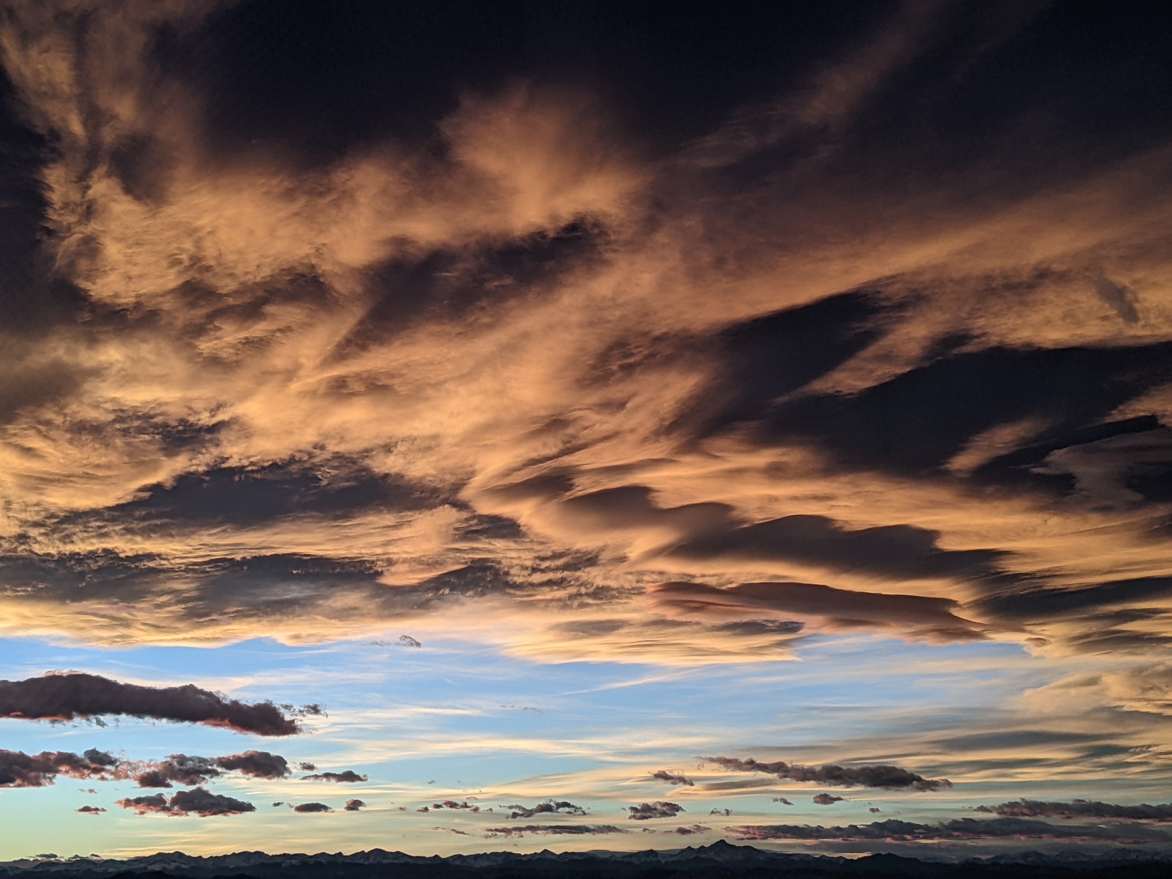
Similar to yesterday, temperatures in Steamboat Springs are hovering around freezing on this cloudy Sunday afternoon. Temperatures will warm and skies will clear for part of the work week, with Tuesday and Wednesday being the warmest and sunniest days of the upcoming week. Clouds then appear for the end of the work week ahead of a possible weekend storm.
Yesterday’s storm brought the forecast winds, with 3.5” on my deck by Saturday morning, but only 4” shown on the Steamboat Powdercam, which was less than I expected. The Tower Snotel at the top of Buffalo Pass showed about 8”, so it is possible that areas of the mountain below the summit were less wind-affected and had more snow than shown.
We’ll see some light snow showers through Monday morning which will be confined to the higher elevations and areas closer to the Wyoming border. But warmer and sunnier weather is on the way thanks to a ridge of high pressure forecast to build over the West ahead of a strong storm developing in the Gulf of Alaska. Temperatures will warm to just above our average of 41 F on Monday as any morning clouds give way to some sun in the afternoon.
The ridge of high pressure will amplify as it passes over the Rocky Mountains on Tuesday, bringing sunny skies and warmer temperatures ten to maybe fifteen degrees above average for Tuesday and Wednesday.
Enjoy the nice couple of days as energy ejecting out ahead of that Gulf of Alaska storm will bring cooler temperatures and clouds for Thursday and Friday. While I mentioned this storm a week ago in last Sunday’s weather narrative as a possibility for Opening Day at the Steamboat Ski Area, it turns out that the storm cooperated, but the response to COVID-19 did not, with a new Opening Day now scheduled for Tuesday, 1 December.
Let’s hope that can happen as the storm may be significant, though there is disagreement between and within the weather forecast models as to the speed and strength of the storm. Right now it appears the brunt of the storm will be on Saturday with it winding down by Sunday.
The active jet stream is forecast to bring more storms over our area during Thanksgiving week, though again there is disagreement with respect to timing and strength. In any event, there is hope that a series of storms will bring enough snow and cool weather to the Steamboat Ski Area to allow them to execute their mitigation plans and safely open. I’ll have more details on the upcoming storms in my next regularly scheduled weather narrative on Thursday afternoon.


