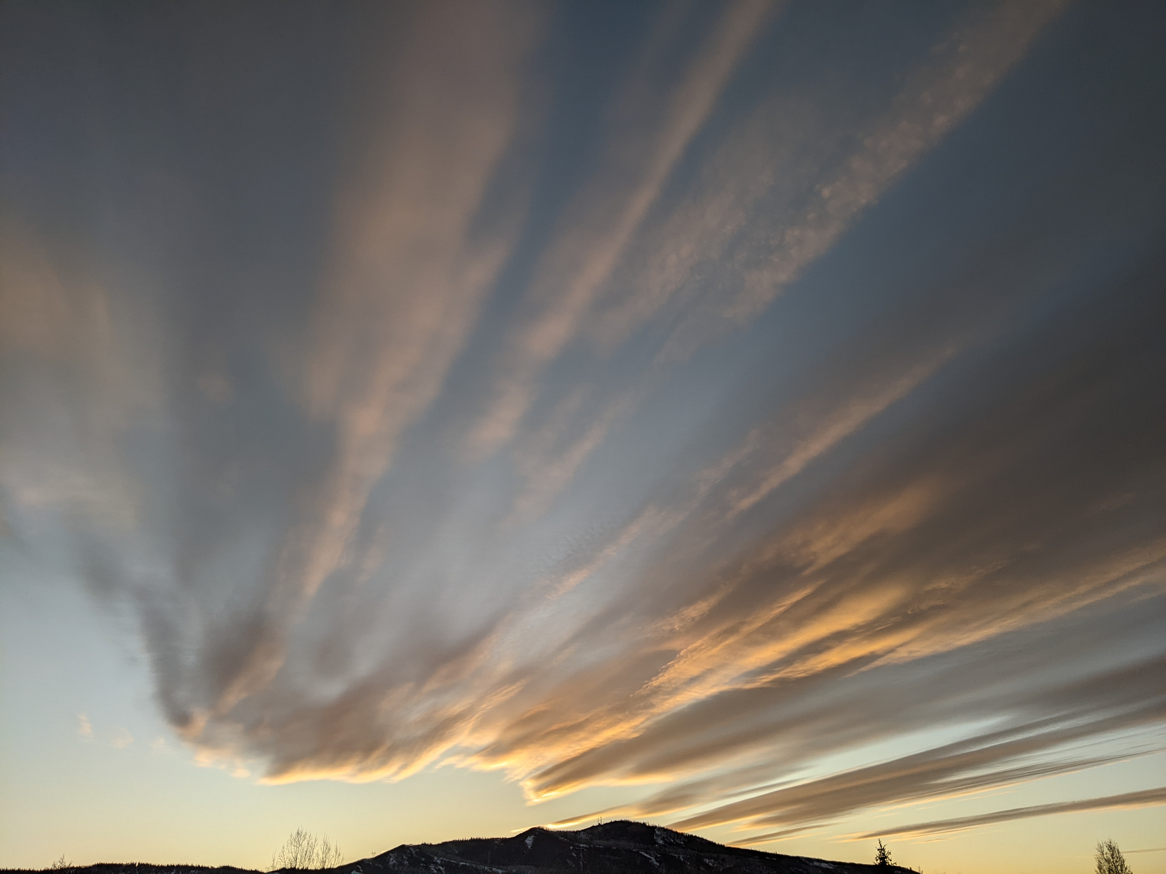
Beautiful warm and sunny weather on tap for the upcoming week
Thursday, October 29, 2020
Temperatures have finally recovered towards average late this sunny Thursday afternoon behind the wintry storm that started last Sunday and brought about 10” of snow around town and a brutally cold -10 F Tuesday morning. Other than a grazing cool front on Saturday that will bring some breezes, expect warm sunny days and cool nights for the upcoming week, with high temperatures reaching the sixties by Monday.
Currently, a shallow ridge of high pressure extending from the Mississippi River to the West Coast has built behind the wintry storm, bringing sunny skies and moderating temperatures to our area. High temperatures tomorrow will reach a bit above our average of 52 F for the first time since last Saturday under sunny skies.
A quick-moving storm now passing through the Gulf of Alaska will graze our area on Saturday, knocking temperatures back a bit while bringing some breezes first from the west and then the northwest by the afternoon.
A couple of upstream storms are forecast to mix with some very cold air from around the North Pole as they pass through the Bering Sea before merging and creating a powerful storm in the Gulf of Alaska by the end of the weekend. Ahead of that storm and behind the grazing Saturday storm, a strong ridge of high pressure is forecast to build over the West Coast and moves inland through the work week. Expect mostly sunny skies with warm temperatures from Sunday through most of the rest of the work week, reaching the sixties by Monday.
Enjoy the warm and sunny week as more wintry weather is advertised to arrive around the following weekend. The Gulf of Alaska storm is forecast to be reinforced by additional waves of energy from areas further north before the storm complex makes landfall near the Pacific Northwest near the end of the work week. The timing and strength of the storm is likely to change over the upcoming week, but right now it looks like the wintry weather arrives around Sunday.
And for what its worth, this may reflect a more enduring pattern change as the air mass over the North Pole is split by ridges of high pressure that are forecast to form over both the Gulf of Alaska and the Urals in western Russia. Research has shown that this splitting may lead to winter weather outbreaks in the Northern Hemisphere, so there is hope for a strong start to the ski season, which for the Steamboat Ski Area, is a mere three weeks from Saturday. I’ll know more about this promising pattern change by my next regularly scheduled weather narrative on Sunday afternoon.
Add comment
Fill out the form below to add your own comments


