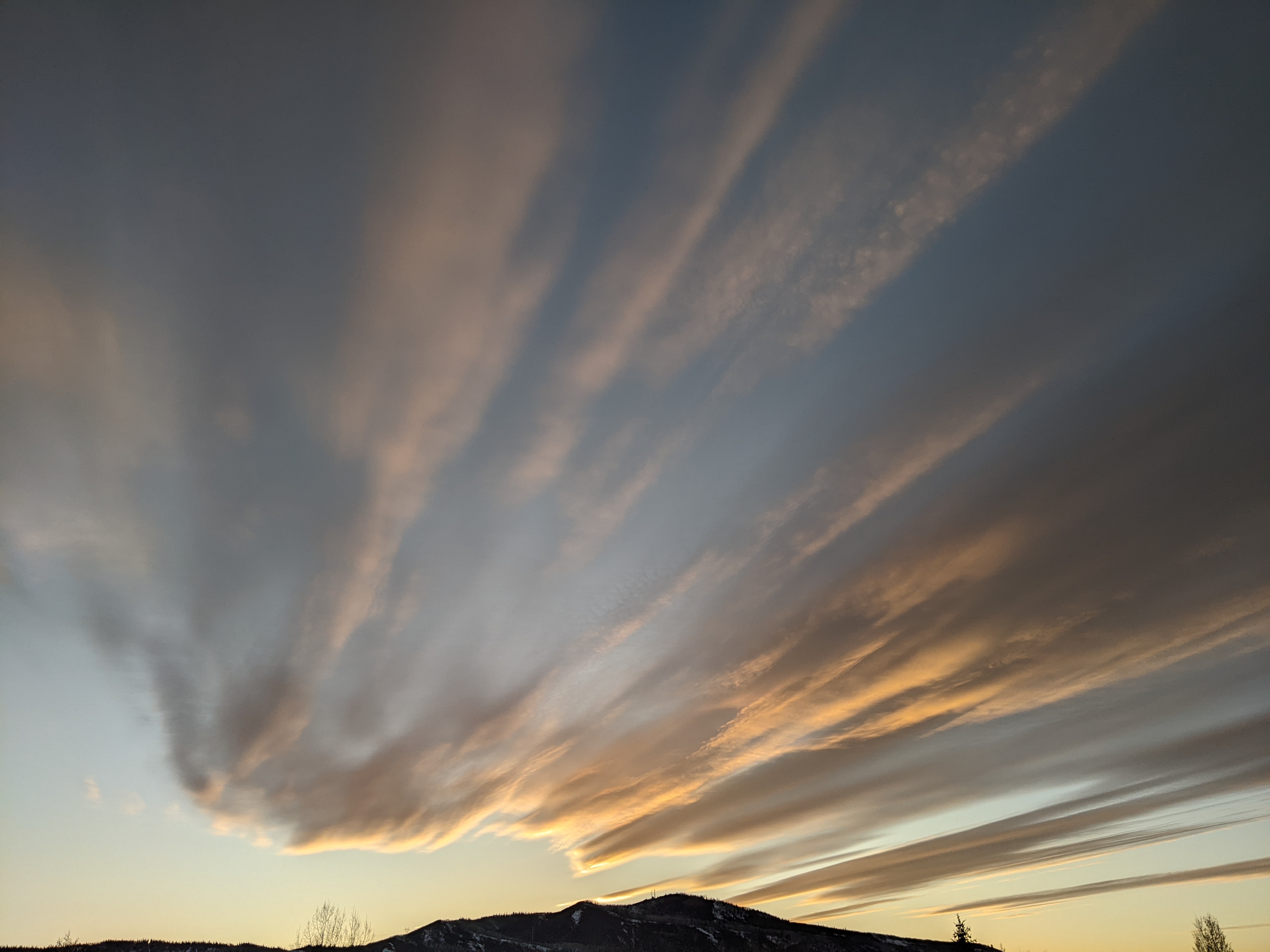
Weather turns wintry on Sunday
Thursday, October 22, 2020
The Steamboat Springs area is seeing brilliant sunny skies and steady temperatures in the mid-fifties late this Thursday afternoon. The dry cool front currently passing through our area will knock temperatures back a bit for Friday before they recover on Saturday. But enjoy the next two nice days as a winter-like storm is forecast to bring snow to all elevations on Sunday. While total accumulations are still uncertain, the cold air associated with the storm is not, with Sunday and Monday the coldest days of the upcoming week, and low temperatures on both Monday and Tuesday in the single digits.
The dry cool front moving through northern Colorado has battled the usual afternoon warming, leaving temperatures nearly steady in the mid-fifties. While there was once some light snow showers forecast for the higher elevations of north-central Colorado tonight, current weather forecast models now keep most of that in Wyoming.
Temperatures will warm under mostly sunny skies behind the front on Friday, though high temperatures look to remain five or so degrees below our average of 56 F. Ahead of the winter-like storm forecast for Sunday, we may see high temperatures closer to or a bit above average on Saturday, with increasing cloudiness and breezy to windy westerly winds; not a good forecast for the wildfires around the state. For us at least, the westerly winds should keep the closest Middle Fork fire and its smoke away from town.
Meanwhile, a storm currently off the Yukon coast will mix with some very cold air from around the North Pole and form a potent winter-like storm that is forecast to clip British Columbia on Friday and cross the Pacific Northwest on Saturday. An additional wave of energy will join the storm as it crosses the Great Basin later Saturday, causing the storm to split by Sunday morning even as light precipitation begins over our area as soon as Saturday night.
Any liquid precipitation overnight at the lower elevations will quickly turn to snow as the strong cold front moves through early Sunday morning. Light to moderate snowfall rates in town and moderate to heavy snowfall rates at pass level and above will make for difficult driving conditions during Sunday, especially with the rapidly falling temperatures. Travel should best be completed by Saturday night or postponed until Monday to avoid the worst of the storm.
The splitting storm creates uncertainty for the snowfall forecast from later Sunday and through Monday. Weather forecast models hint at an eddy forming over the Desert Southwest or Four Corners region, and whether and where it forms and how quickly it moves will affect our snowfall. Currently, my best guess is 4-8” in town and 8-16” at the higher elevations from the storm, and while snowfall looks to become more showery by Sunday night, it is not clear if the showers continue into Monday or the sun appears during the day. But what is clear are the very cold, possibly single digit low temperatures for Monday and Tuesday that are ten to twenty degrees below our average low of 25 F. Monday will likely be the coldest day of the week with temperatures struggling to rise much above freezing, though they will rise on Tuesday to around a more respectable 40 F.
While the evolution of the storm after Tuesday is very much up for debate, it likely won’t matter for our area as a flat ridge of high pressure is forecast to build behind the storm and bring warming temperatures by midweek. The warming trend may be interrupted on Thursday by a grazing storm to our northeast, but should return for Friday. Longer-range models do have another storm around next weekend, which at this point looks much drier and quicker-moving than this Sunday’s storm.
Stay tuned for my next weather forecast narrative on Sunday afternoon for the latest on this winter-like storm. which I hope to be writing as the snow is falling.


