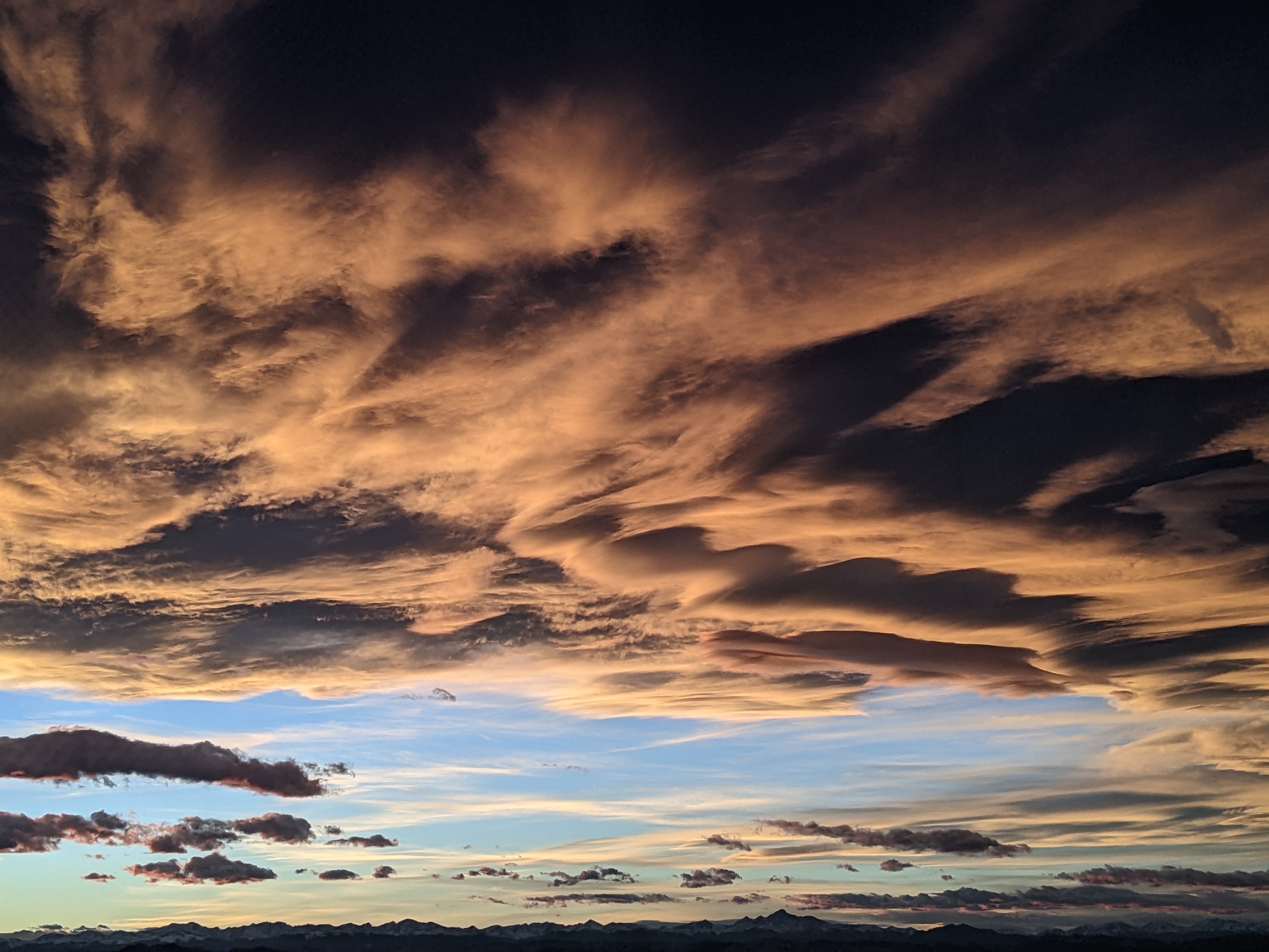
Beautiful weather returns for the weekend
Thursday, September 10, 2020
Partly sunny skies and a temperature of fifty degrees are observed in the Steamboat Springs area early this Thursday afternoon. The storm that produced the winter-like weather and strong winds on Tuesday should finally pass over our area through tonight, leaving sunny skies and warming temperatures in time for the weekend. The seasonable weather then turns hot and dry for the following work week.
 That was quite the windstorm on Tuesday, with many trees down in the neighborhoods around the base of the mountain and at least one flattened stop sign in the Eagleridge area. A 56 mph gust was observed at the Bob Adams airport Tuesday morning, and the NWS public summary indicated sustained winds of 48 mph at the top of Mt Werner and 54 mph winds somewhere in Steamboat Springs.
Similar to the Routt County Blowdown in October of 1997, I’m guessing that strong easterly winds formed a mountain wave over the Continental Divide, which then broke on the lee side of the Park Mountain Range, similar to an ocean wave breaking on a beach. This created very strong and localized gusts of winds that seemed to occur in a hopscotched pattern around the neighborhood.
Additionally, the storm brought snow to the higher elevations, with about 4” at the remote SNOTEL measuring site on Buffalo Pass north of town. Rabbit Ears Pass was closed for a time Tuesday morning due to blowing snow and dangerous conditions, though the Rabbit Ears SNOTEL showed no accumulations, likely since the wind blew the snow off the measuring pad. And we did see snowflakes in town, though accumulations were confined to elevations just above the Yampa Valley floor.
The storm that brought these conditions to our area is currently located over northwest Colorado, and is forecast to pass overhead tonight and vacate our area by Friday afternoon. But we will see two chances for precipitation, first later this afternoon and this evening in the southwest flow ahead of the storm and then again Friday morning in the favorable moist and unstable northwest flow behind the storm, with some snow likely at the higher elevations.
There may be enough sun by Friday afternoon to push our temperatures into the sixties, which is about ten degrees below our down-trending average of 74 F, with nighttime temperatures around freezing tonight, which is about five degrees below our average of 37 F.
A ridge of high pressure is then forecast to build over the west for the weekend and the following work week, bringing dry air, sunny skies and warming temperatures, with high temperatures moving from the low seventies on Saturday to upper seventies on Sunday to around the low eighties for the work week.
Longer range weather forecast models agree that a storm loitering well off the coast of California will merge with a wave of Pacific energy and moisture traveling though the Gulf of Alaska and form a stronger storm that may affect our area around the following weekend, though they disagree on the timing and strength. Stay tuned to my next regularly scheduled weather narrative on Sunday afternoon for more details on that possibility, and be sure to enjoy the return of our summery weather.


