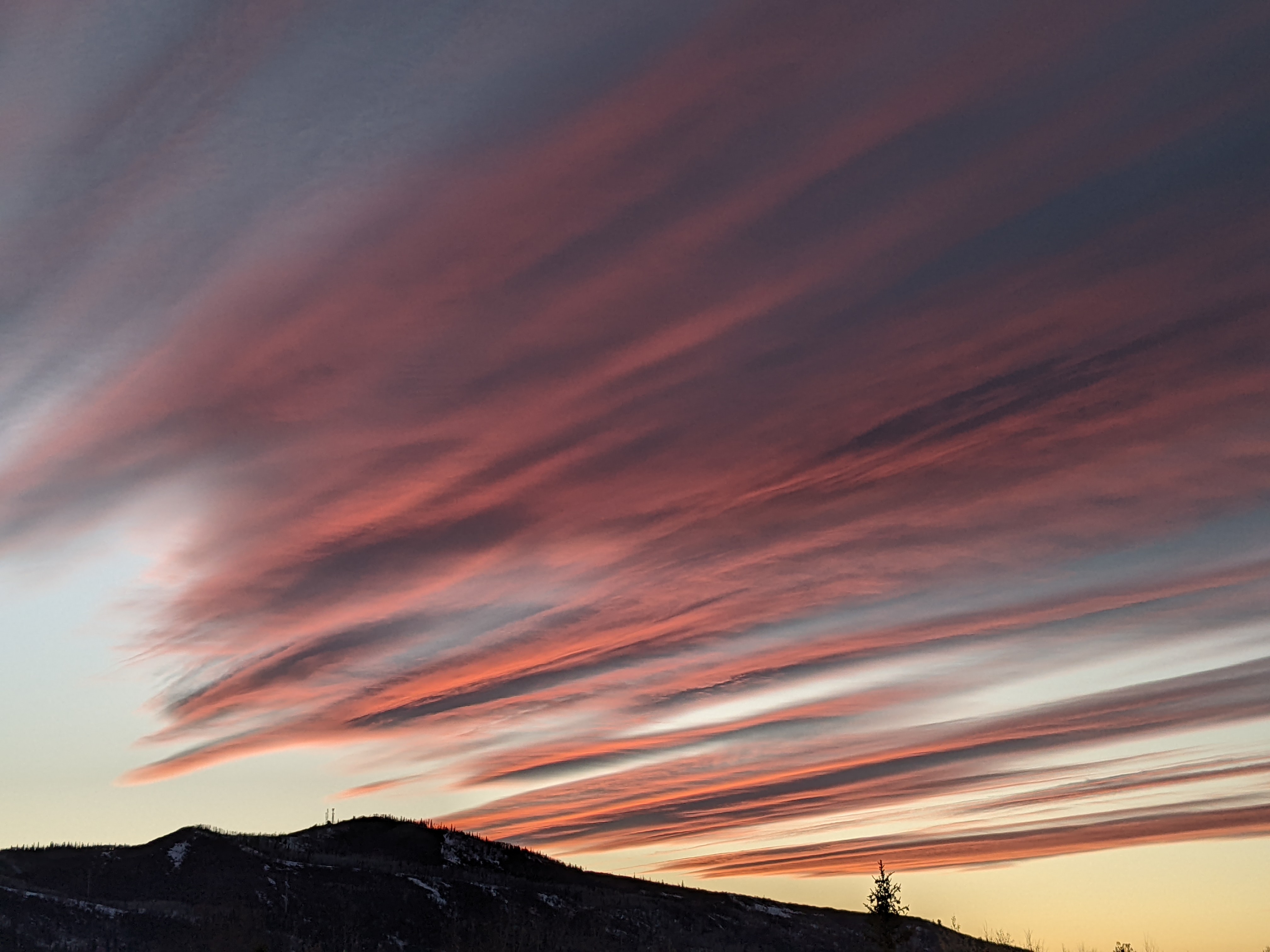
Summery Monday followed by wintry Tuesday
Sunday, September 6, 2020
The headline is not hyperbole! After several days of well-above average temperatures in Steamboat Springs, including a 90 F reading at the Bob Adams airport this past Saturday, we will be going to bed after a summery Monday and waking up to a snowy Tuesday!
The temperature in Steamboat Springs is currently 78 F on this Sunday noon, on its way into the mid-eighties, which is around ten degrees above our average high of 75 F. More warm, but increasingly windy, weather is expected for tomorrow before an unseasonably strong and winter-like cold front blasts through Colorado Monday night.
We should see snowflakes in town with accumulations of an inch or two on grassy surfaces and foliage by Tuesday night possible, so be sure to shake your trees to prevent limb damage. Temperatures during the day Tuesday should be around forty degrees below Monday, with a hard freeze almost certain by Wednesday morning. Unsettled weather and below-average temperatures look to stick around through Thursday before we dry out and temperatures return to more reasonable levels heading into next weekend.
Currently, a Pacific storm that has traveled over the top of a ridge of high pressure in the Gulf of Alaska is mixing with some cold air originally sourced from the North Pole, and will bring a strong cold front through the northern Rocky Mountain states on Labor Day. The cold front will leave most of Monday unaffected for our area, except for strong pre-frontal winds from the west. So fire danger will remain elevated through the day before the front is expected to blast through overnight. Luckily, the bulk of the long Labor Day weekend travel should be completed before the wintry weather arrives.
But travel will likely become difficult over the mountain passes on Tuesday as wet heavy snow should overcome the warm road surfaces and create areas of slush and limited visibility at the higher elevations, and maybe even briefly at lower elevations. And as bad as it will be west of the Continental Divide, more significantly snow east of the Divide and unprepared drivers will likely make the roads down to and possibly within the Front Range treacherous, including the I-70 corridor.
So after high temperatures in the forties during the day Tuesday, Tuesday night will be bone-chilling cold, with the current forecast for our zone from the Grand Junction weather office indicating lows in the 5 to 15 F range! That sounds a bit aggressive to me, but be prepared for a hard freeze Wednesday morning with low temperatures in the teens.
The weather forecast models have struggled with the placement and speed of this storm over the last week, with the latest nod going to the European ECMWF as it looks like the storm will cut off from the main jet stream and form an eddy over the Four Corners region, as suggested by some earlier and more recent iterations of that model.
This eddy, or so-called Four Corners low, is forecast to slowly move northeastward through Thursday, keeping cool and unsettled weather over our area for another couple of days. While precipitation is expected to mostly subside by Wednesday, we may see another round of precipitation wrap around the northern side of the storm for Thursday. And while this will likely be rain at the lower elevations, higher elevations may continue to accumulate snow. Combined with the cold temperatures, all persons recreating or hunting in the higher elevations need to be prepared for winter-like weather from Tuesday through Thursday.
The sun is still high in the sky, so it will do a good job of modifying the air mass starting Wednesday, even in the presence of clouds. Obviously, more clouds mean cooler temperatures, so the longer the storm lingers the cooler it will be, but right now I would expect high temperatures in the fifties on Wednesday, sixties by Thursday and seventies by Friday.
The sun should return for the weekend, perhaps as soon as Friday, as temperatures return to normal to above normal. Still warmer and dry weather is currently advertised for the following work week. I’ll have a synopsis of at least the first part of this impressive winter-like storm for my next regularly scheduled weather narrative on Thursday afternoon.


