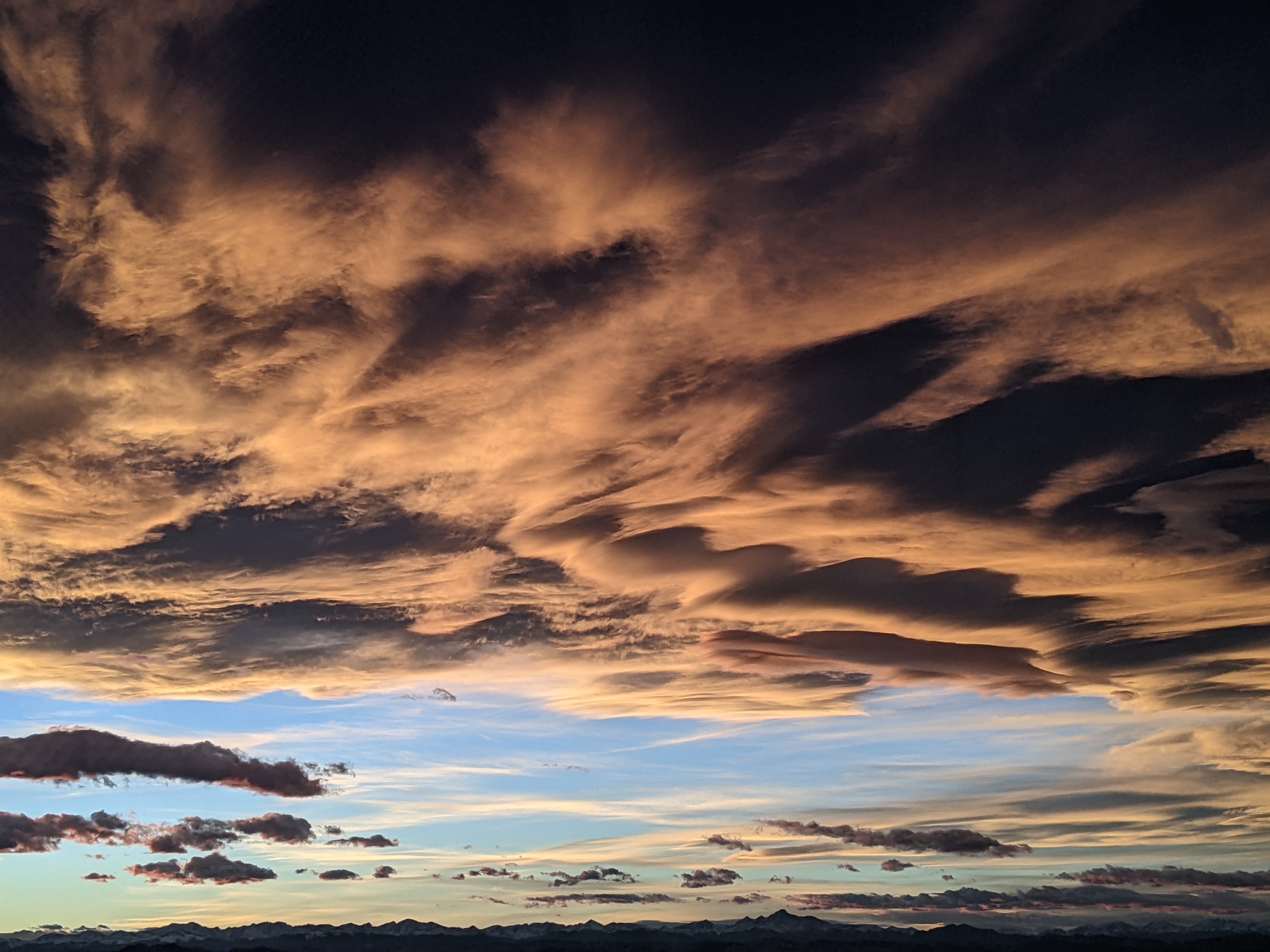
Current weather continues for the upcoming week
Sunday, August 2, 2020
The temperature in Steamboat Springs is already up to 82 F on this Sunday noon, again on its way to the upper eighties. Despite the mostly dry weather, we will see chances of afternoon and evening storms through most of the upcoming week, most prevalent at the higher elevations, that will likely produce more wind than rain. Whether we see rains in the Yampa Valley or not, clouds will block the sun at times which will bring a temporary respite to the heat.
A strong ridge of high pressure is currently over the Inter-mountain West, with strong areas of low pressure in the Gulf of Alaska and the Midwest. Further east, Tropical Storm Isaias is just off the eastern Florida coast and will be directed northward along the length of the Eastern Seaboard early this week in the southerly flow between the MidWest area of low pressure and the summertime Bermuda high pressure system.
A ribbon of moisture between the ridge of high pressure to our west and the low pressure over the Midwest will allow afternoon and evening storms to form through midweek, most numerous in the high country. However, the dry lower levels of the atmosphere will force most of the precipitation to evaporate before reaching the ground, yielding mostly gusty and erratic winds, though brief heavy showers are a possibility. Expect hot temperatures in the upper eighties or even broaching ninety, which is above our average of 82 F.
A couple of storms from the Gulf of Alaska will travel north of our area early in the work week and again over the weekend. The first leaves some energy behind that forms a weak area of low pressure off the California Coast which is then picked up by the second storm. Weather forecast models agree that some moisture ahead of the California system may be forced northward over our area around Thursday and Friday, though they disagree if there will be enough for wetting rains.
Precipitation chances fall to near zero around the following weekend as the Gulf of Alaska storm passes to our north and introduces very dry westerly flow, and longer-range weather forecast models have this dry flow persisting into the following work week. I’ll be discussing the possibility of the end-of-workweek showers on my next regularly scheduled weather narrative on Thursday afternoon.
Add comment
Fill out the form below to add your own comments


